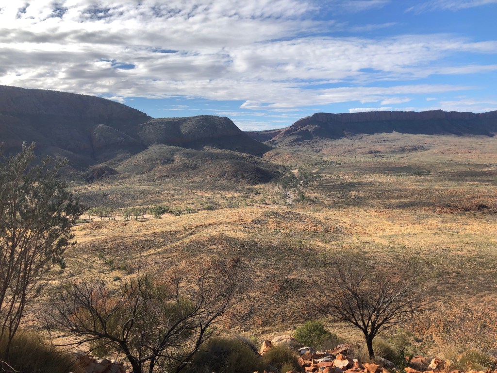
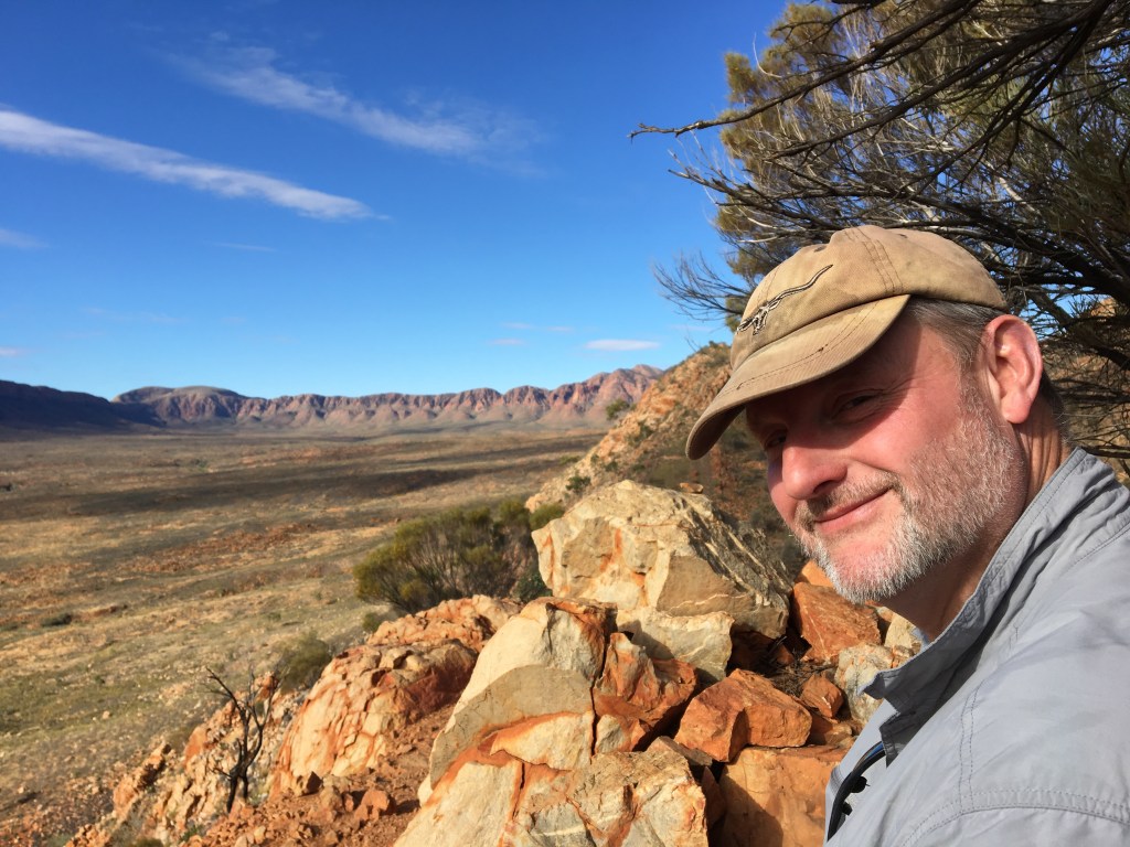
So , the old saying about life , lemons and lemonade ? Today , instead of crossing into WA as planned we spent our time on a brilliant day trip to the Western MacDonnells.
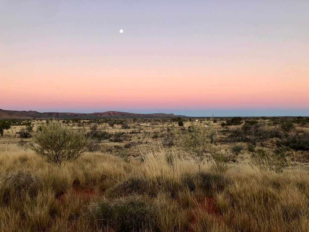
Away late/ish, because of sleep 😀👍 and then Coffee and Ham and Cheese Omelettes 😀😀, we decided to head west . Great choice , awesome views of the ranges and Mt Sonder. Followed by sensational sunset on the way home ( again). Photos not as good as we would like as using old ish iPhone. The digital camera Mark bought for his Kandahar holiday in ‘14 has irretrievably died. 🤨
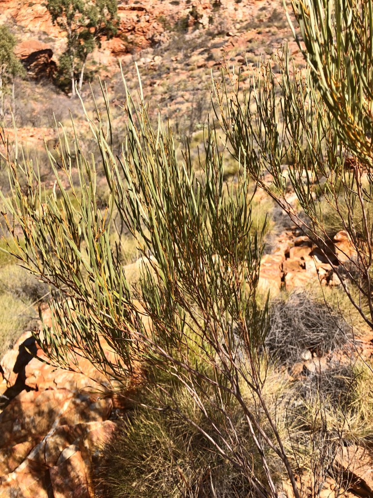
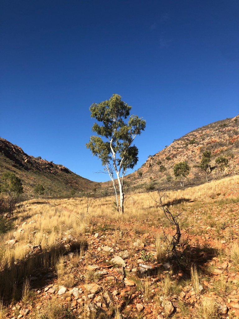
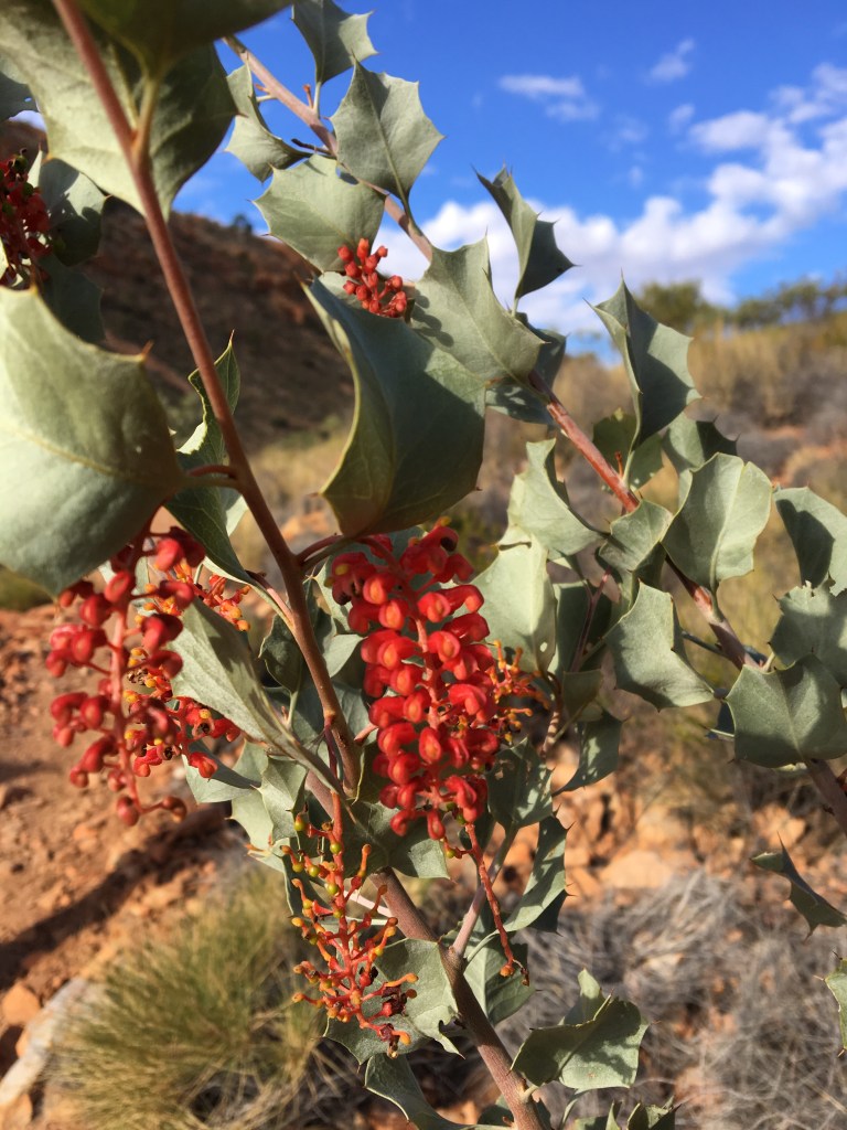
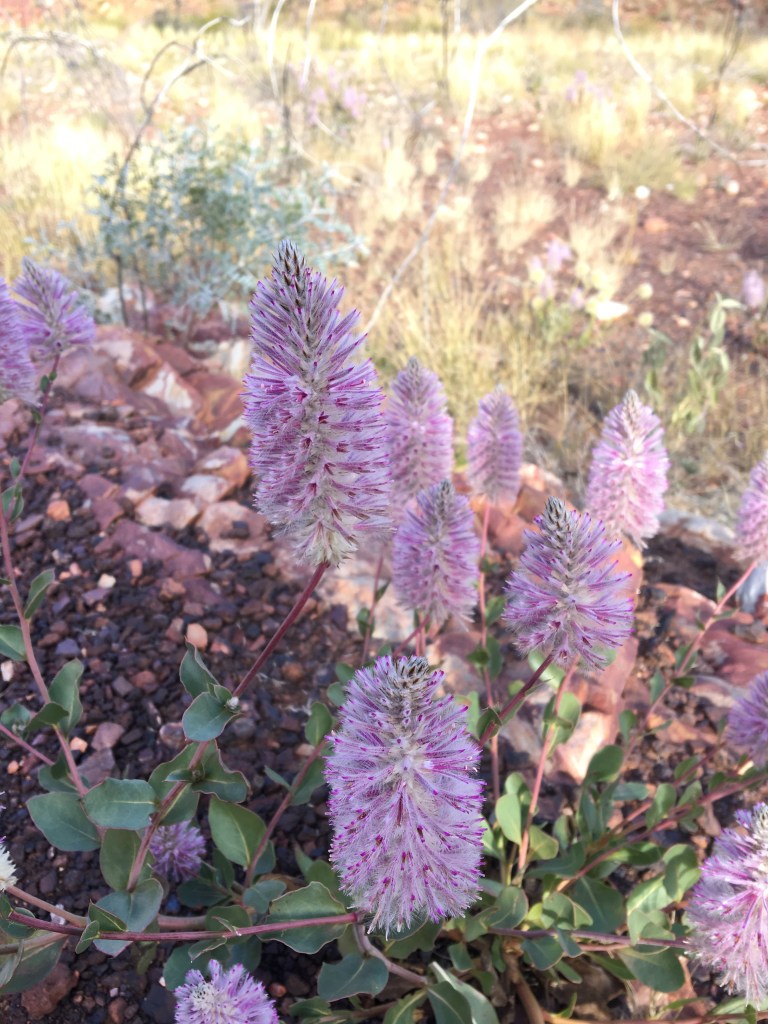
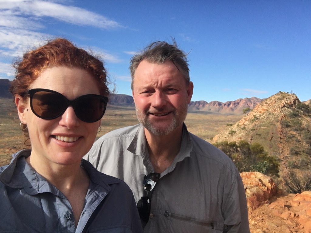
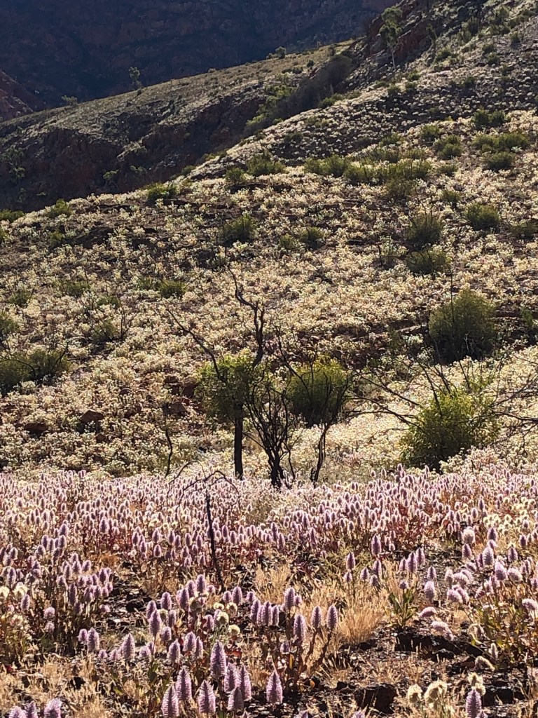
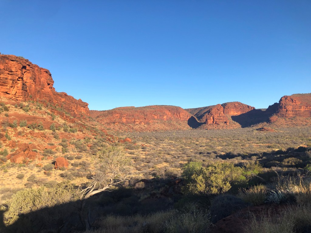
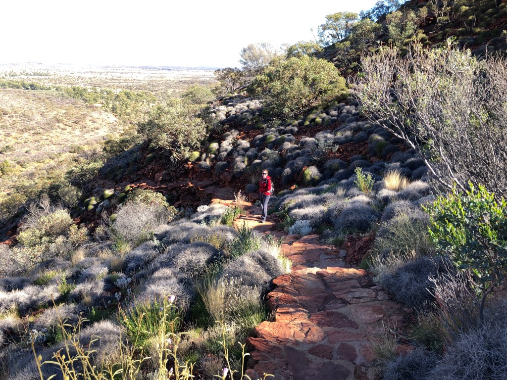
Ness powering up the track at OrmistonView towards Glen Helen ( SW) Mulga! an amazing Acacia…The ‘Budgie Tree’ – Full of nesting budgies in every nook and cranny Holly Grevillea Some of the amazing wildflowers enroute Top of Ormiston Pound lookout Enjoying the Majestical 😉
Plan is to check out the Eastern MacDonnells tomorrow!
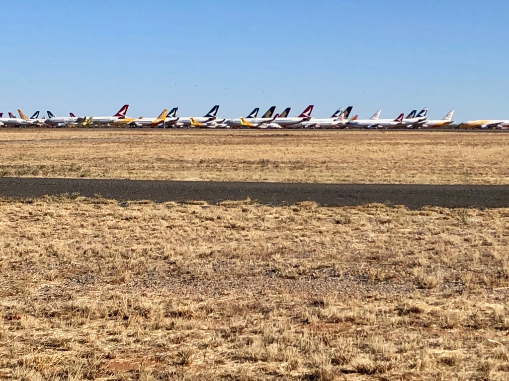
A phenomenon of the pandemic has been a massive reduction in international air travel – leading to the requirement to have somewhere to park the aircraft not in use. The answer for some Asian based carriers has been to mothball aircraft in Australia’s central desert. Which creates the strange sight of seeing more aircraft across from the runway in Alice Spring’s airport than you would normally see taxiing to the gate in Heathrow or Changi. Counted over 5 dozen from the roadside – and pretty sure the actual number is higher than that .
Thanks to the ongoing debacle that is Australia’s COVID Quarantine system, the Northern Territory has been reclassified by the Western Australian Government as ‘low risk’. This is up from ‘very low risk’ a day ago.
The net result: we cannot proceed into WA / the Kimberley as planned . We would be required to isolate for a mandatory 14 days upon arrival- something that is physically impossible given the infrastructure of the North West.
Denied entry to WA, for a while at least, we have done some ‘branch planning’.
Bottom line up front : much more time in NT than originally anticipated. And fingers crossed for a timely resolution and a dash across the border when allowed and prudent.
At this stage we look like losing much or all of the Gibb River Road part of our journey. Purnululu might still work, with some juggling, depending upon what happens with the border.
In the mean time – new adventures to find in the Centre ! 😀
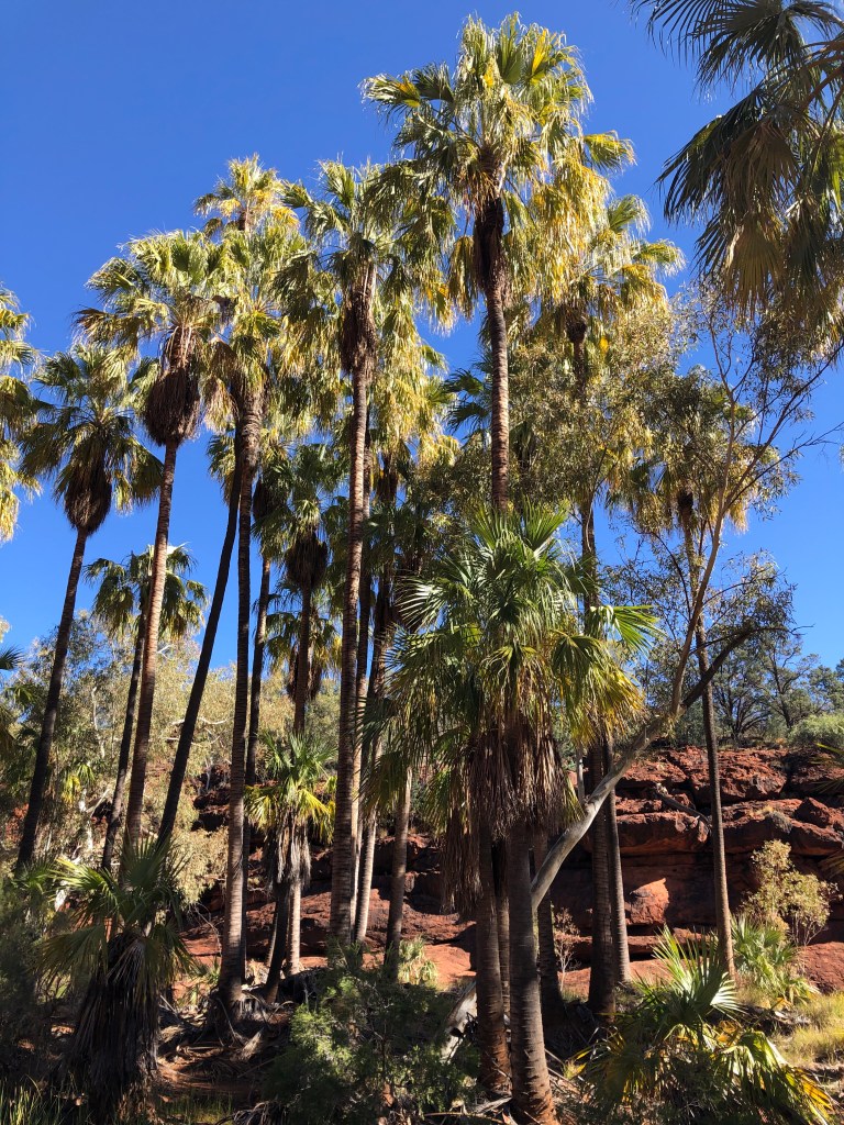
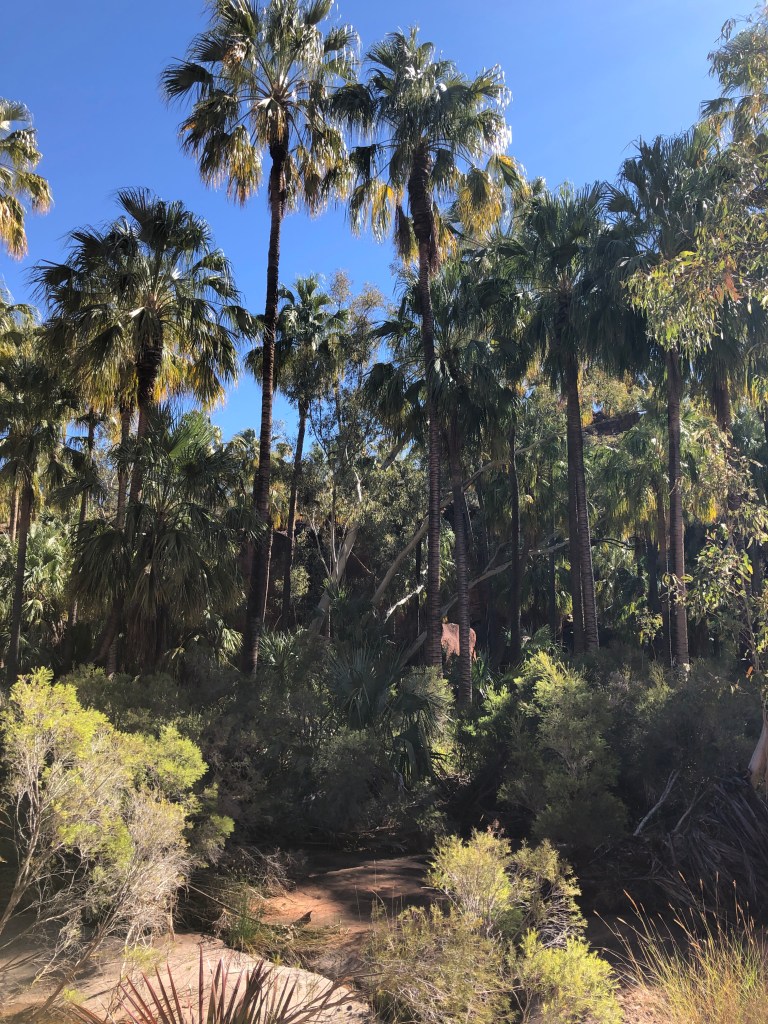
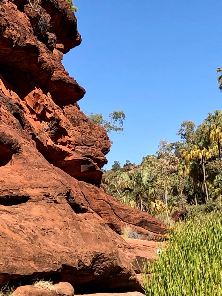
Today was all about the cabbage. The Red Cabbage Palm (Livistona Mariae) that thrives in Palm Valley, NT. The weird thing about these palms is the nearest other cluster is over 1,000 km away. Various theories , none definitive, abound about how this happened. Favourable conditions remaining in the valley after wider climate change ( discredited), Indigenous cultivation ( possible, but unlikely) and Pelican transmission ( a strong contender) are all mooted.
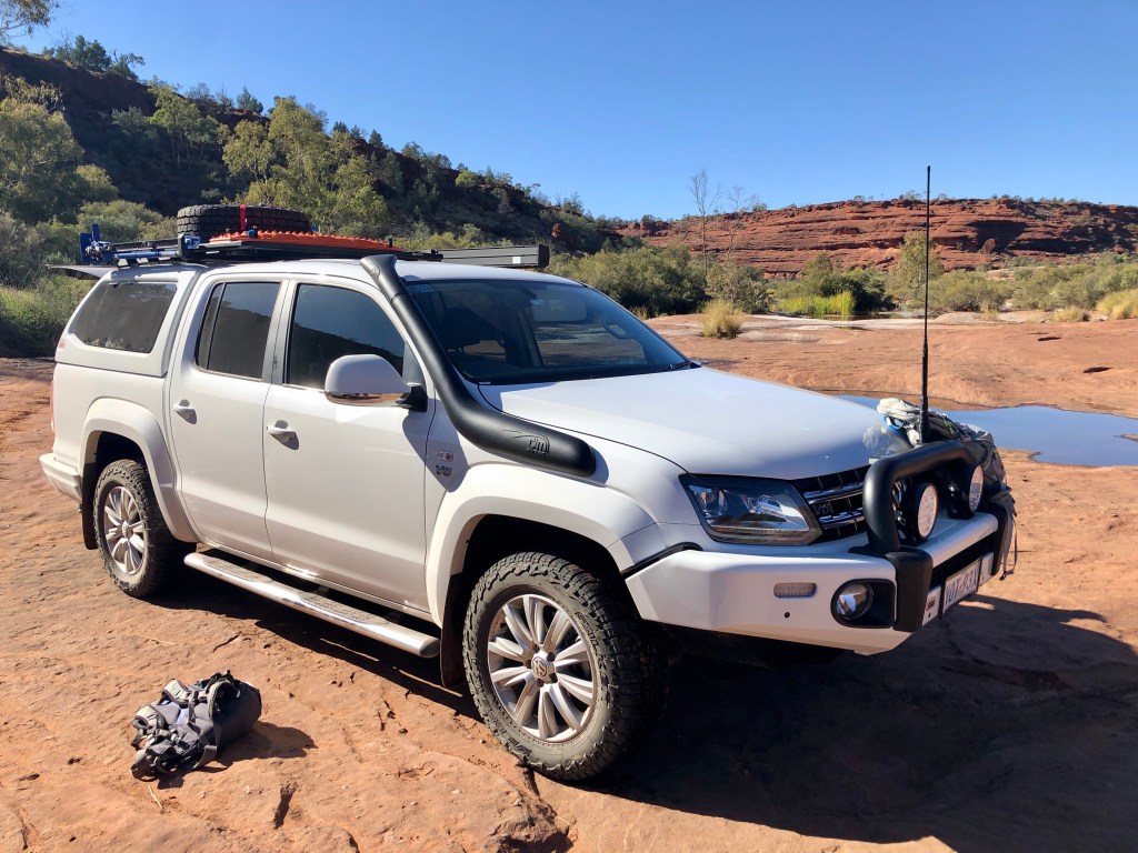
We had a ‘sleep in’ until 7, coffee and a muesli bar, then packed up Bernie. Left the camper behind because it was a 45 minute 4WD crawl to the start of the Mpulyungkinya walk we planned to do at Palm Valley proper . The Amarok scraped a few times on a few rock jump ups , but nothing to worry about . At least it was being used as a 4WD, unlike many of its type … though it did have Mark boring Ness with musing about a 2 inch lift … for the truck.
The ‘rok having proven its 4WD cred
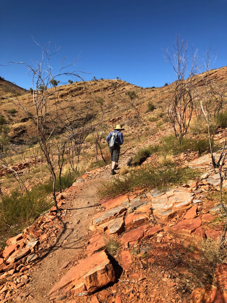
The walk itself was stunning. Up a ridge , across a dry plateau, then back along the ancient riverbed through the gorge with all the palms.
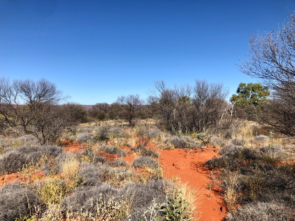
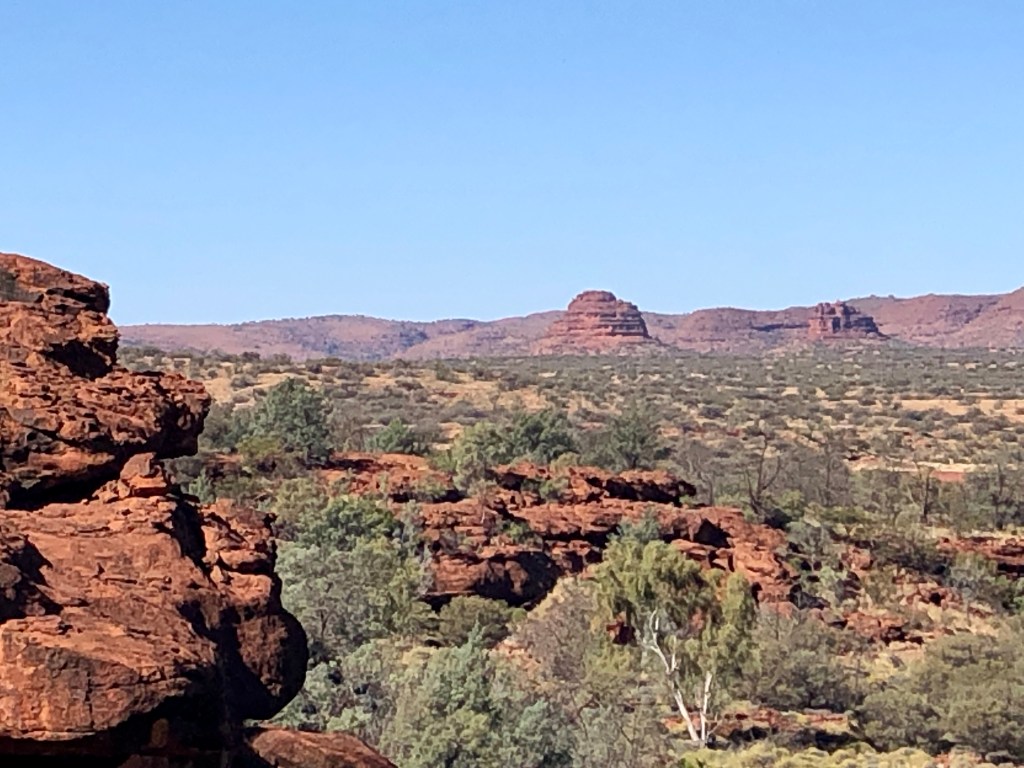
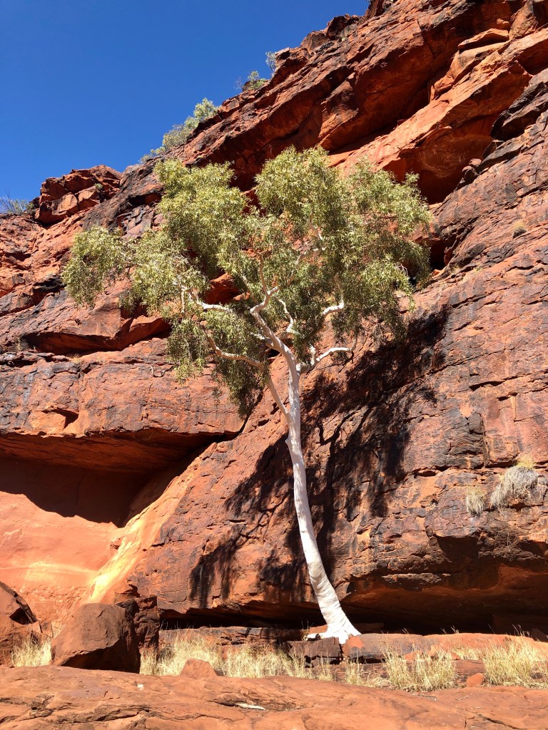
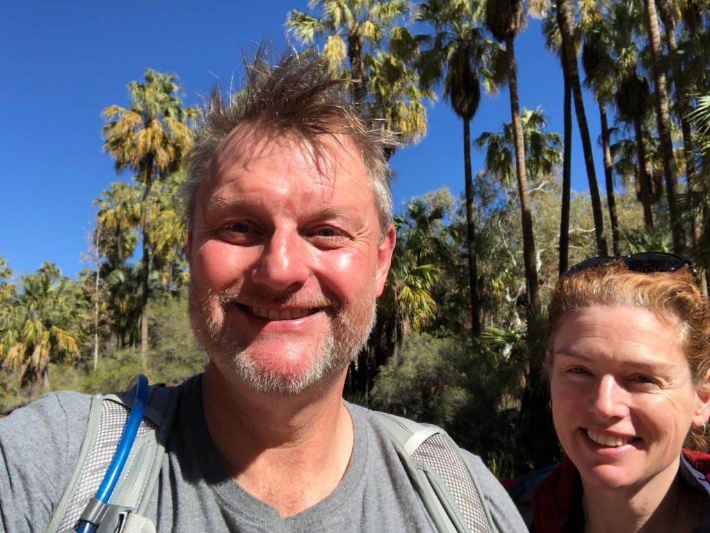
Spinifex country across the plateau The view south of the plateau prior to dropping into the valley In the valley #1In the valley #2It’s not all palms – a ghost gum growing against the valley’s southern red sandstone wall Happy, sun tinged hikers
After the hike it was another 4wd rock crawl back to the campsite, hitched up Bernie and headed out . Once clear of the Finke it was a lovely 90 minute drive into Alice Springs via the Larapinta Drive and Namatjira Drive ( great views of the Western MacDonnell range to the north).
Setting up tonight we found the Anderson plug powering the BMS / Battery in the camper was ripped out on the Finke. Repair task ( among a few others) tomorrow!
Broke camp, refuelled at a boggling 208 cents a litre for Diesel. Headed off around the Mereenie Loop Road towards Hermannsburg. Would have to be one of the worst maintained roads in Australia – and you get to pay for the privilege of using it🤔!
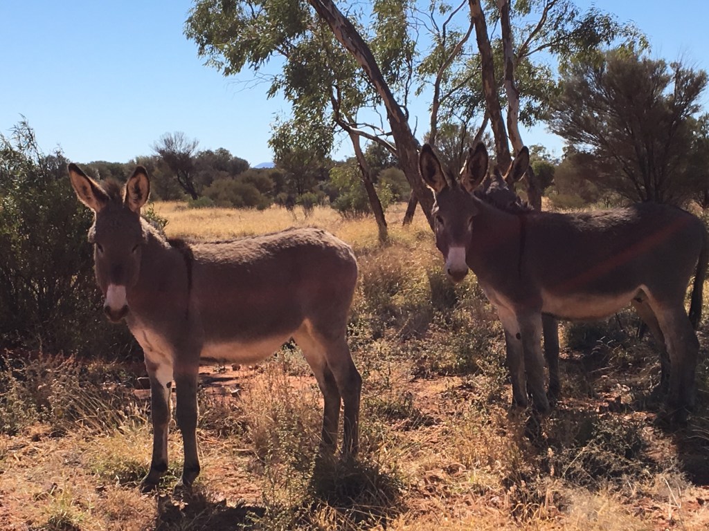
Enroute we caught glimpses of Tnorala Bluff (caused by a big meteorite a long time ago), the Western MacDonnell Range and several horses and mules.
Some Ass on the Mereenie Loop
3 hours of bad corrugations , and a windscreen star later from a rock thrown up by someone driving too fast for the conditions , we pulled into Hermannsburg for a quick bite and a stretch.
Hermannsburg sits on Arrente Land. One of its most famous people is Albert Namitjara , renown for his impressive water colour landscapes of the region. We acknowledge the Arrente’s traditional custodianship of these lands and pay our respects to their elders past, present and emerging.
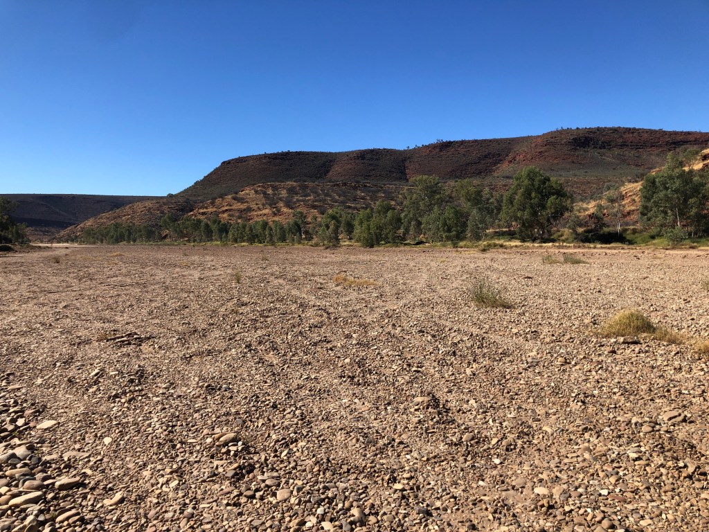
A quick check of the road conditions with SGT Rosie at the Hermannsburg cop shop , then onto the Palm Valley Road towards the Finke River National Park. The road follows the normally dry bed of the Finke River, whose claim to fame in geological and riverine system fame is being ‘the oldest river in the world’.
The Finke is unlike most other rivers – it rises in desert mountains ( the Western MacDonnells) and then essentially disappears and dissipates into the Simpson Desert several hundred kilometres to the South East. It never meets the sea, nor does it contribute to any other river system. The closest similar thing is perhaps the Okavango Delta in Botswana. But with vastly less reliable and regular flow – the river can go years without any serious water / flood.
The Finke
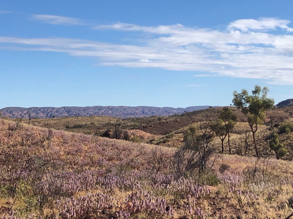
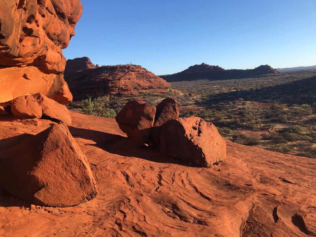
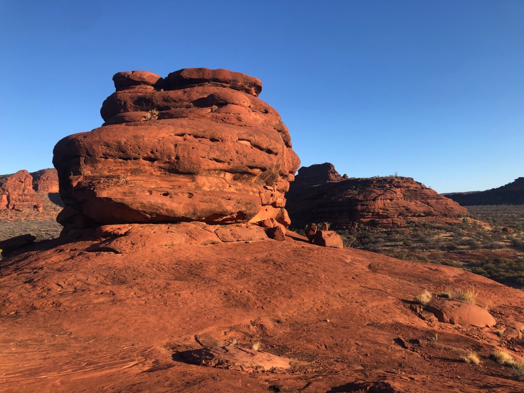
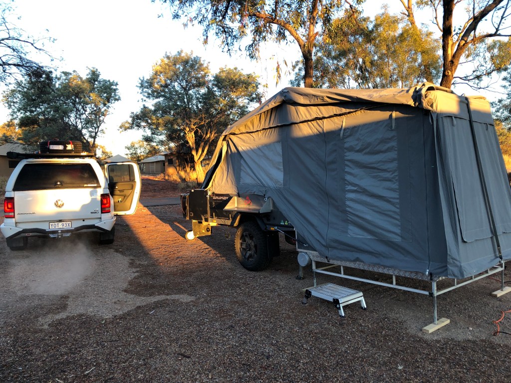
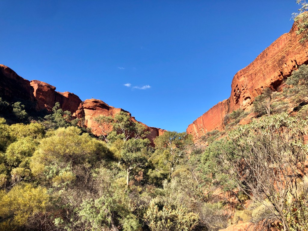
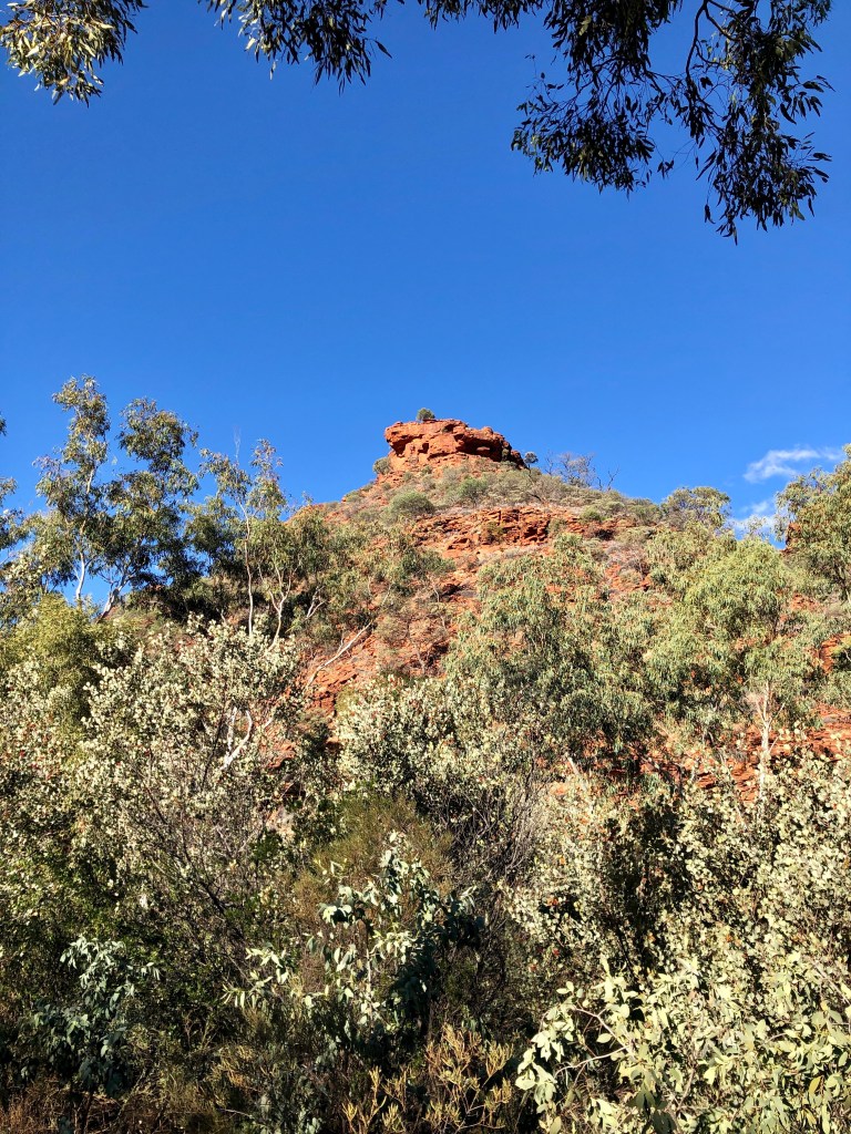
We set up camp and headed out for a walk up the Kalarranga Lookout. Not only a nice stretch out after the day’s corrugations, the views in the late afternoon light were stunning.
Ness lurking Pretty pleased with both the walk and the view
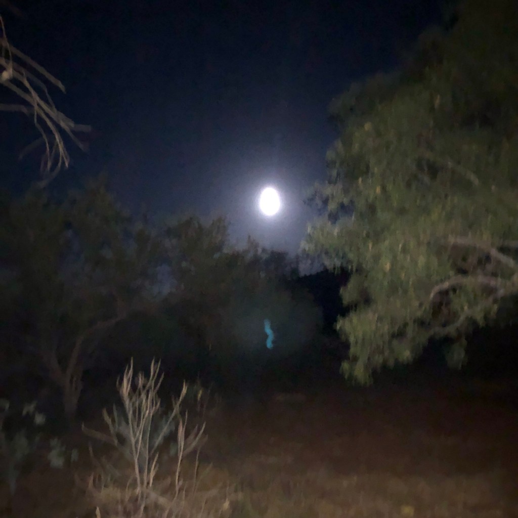
Back to camp to knock up a Thai Green curry, we ate as the even fuller moon rose in the East and the horizon to the West glowered purple and red with the setting sun.
We checked the road conditions into WA prior to leaving Kings Canyon. The Tanami Track is currently closed due to flooding at the Western end. It might open in time – or it might not. And the road wouldn’t be that flash when it does. So a new route to Purnululu is necessary.
We will now go up the Stuart Highway and do the left turn at Katherine , west to Kununurra and down to Purnululu. 500 -ish km further , but possibly days quicker given the flooding and road conditions. And over 1000 km less dirt !
Footnote: turns out that one of the gold mines at the western end of the Tanami is now a major covid exposure site😳…definitely happy with our change of plan !
Our second day on Luritja Land – we recognise their traditional custodianship of these lands and acknowledge their elders past, present and emerging.
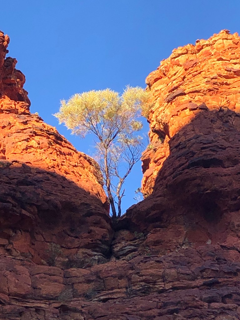
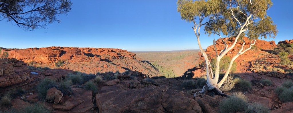
Up early in the chill (1 Degree Celsius) and dark to make coffee before heading out for the King’s Canyon Rim Walk. It took about 10 minutes to clear the ice off the Amarok’s windscreen.❄️
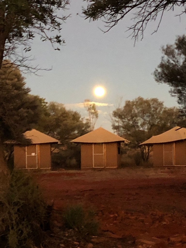
Campsite at Sunrise
We were early enough that we scored the closest carpark spot to the start of the walk, on a normally overflowing carpark. This set the pattern for the entire walk – we only saw two other groups the entire time. The chill and the early hour seemed to be a deterrent for many, so serenity followed! We have both done the walk several times before, previously in the afternoon- it took on a different perspective in the morning light. Of note was a lot more bird life – it seems to be a great season for Budgerigars in particular, they are everywhere in great numbers.
Ness on the path down from the Southern Rim
Back to camp for late breakfast / early lunch. Afternoon spent doing ‘make and mend’ on various bits and pieces. Plan for tomorrow is into Palm Valley via Hermannsburg.
Bit of a sleep in this morning to allow the canvas to dry prior to packing up – plan failed due to a thick fog that rolled in from 6 until 9, making everything even more drippy and wet .
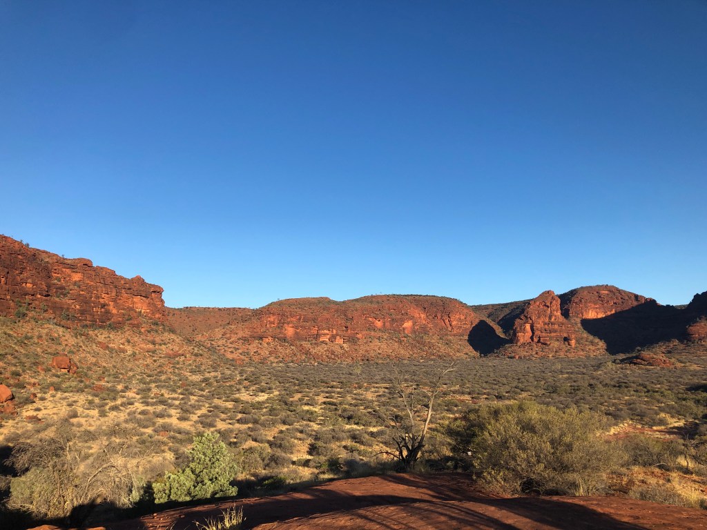
Nice 3 hour -ish drive to Watarrka National Park , set up Bernie and then headed out to King’s Canyon. Arrived just too late to do the Canyon Rim walk ( 4pm cut off ) so that’s tomorrow morning’s fun. Nice little walk up the centre of the canyon instead – massive amounts of bird life ( lots of budgies) , ghost gums , red rock and and deep blue sky.
Back to watch an amazing sunset over the range and a full-ish moon rising.
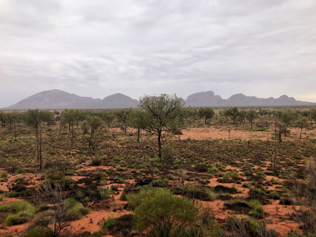
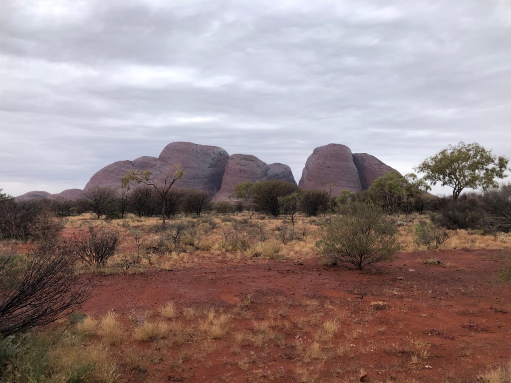
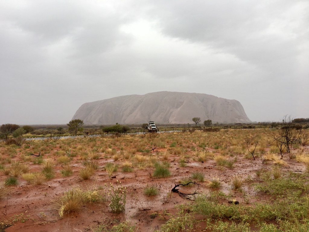
Kata Tjuta in the AM … before the rain was consistent!
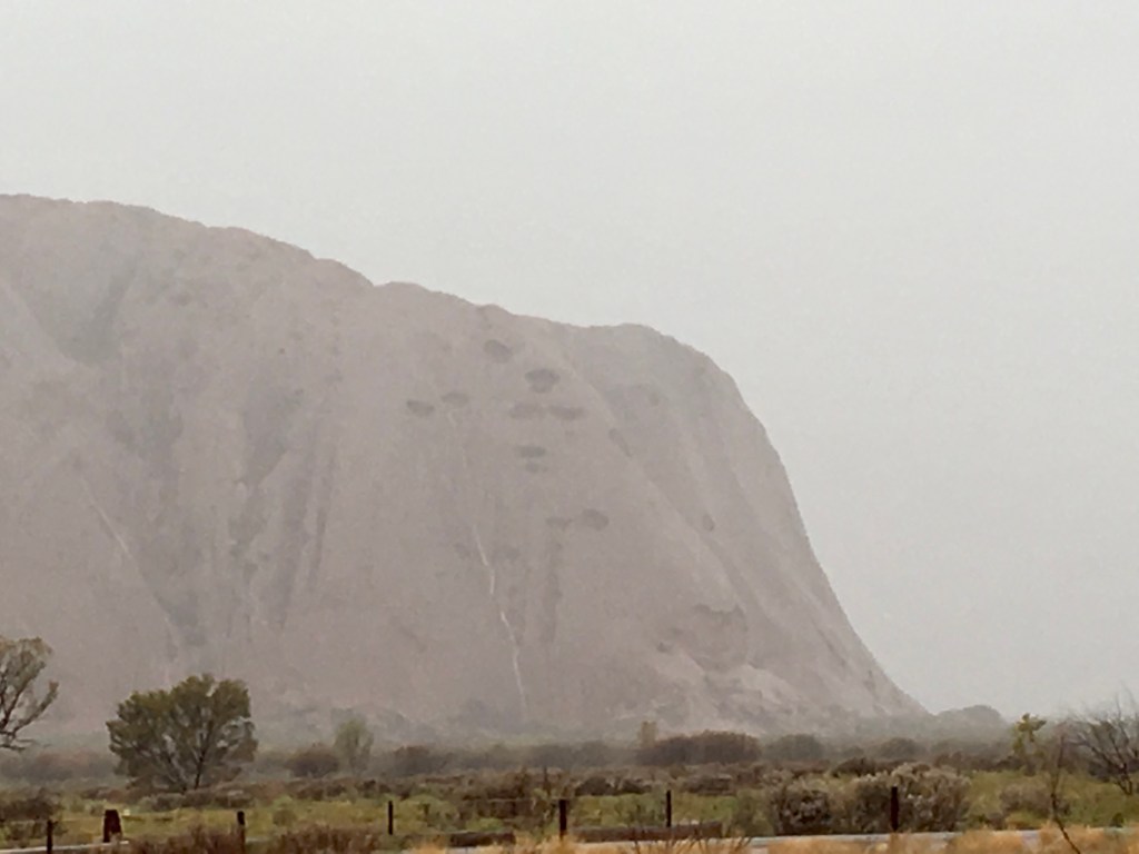
It is a really pleasant feeling to awaken during the night, snug under a down doona, to hear rain failing on the Camper’s roof. The local Anangu people might be grateful that Mark has maintained his batting average – of four trips to the Rock it has rained heavily three times.🙁 The so-called attraction of ‘rain on the rock’ pales somewhat when it is the default experience!
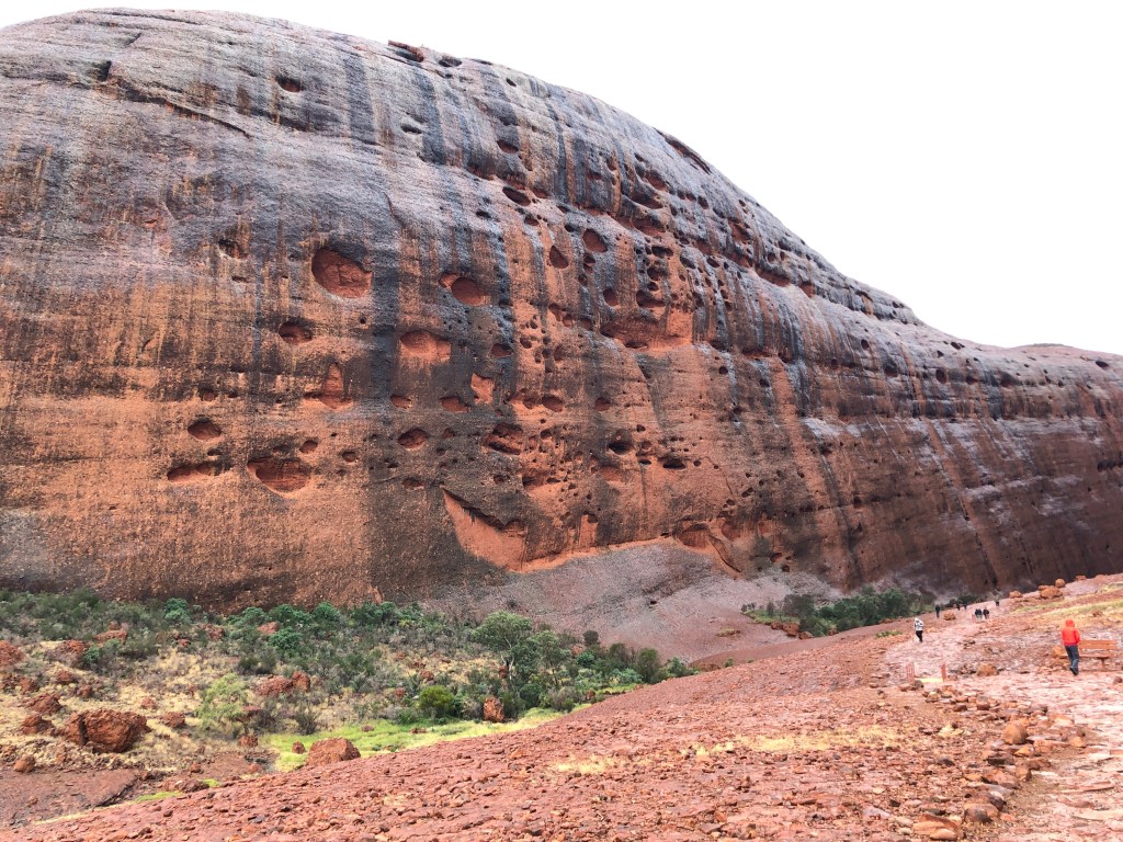
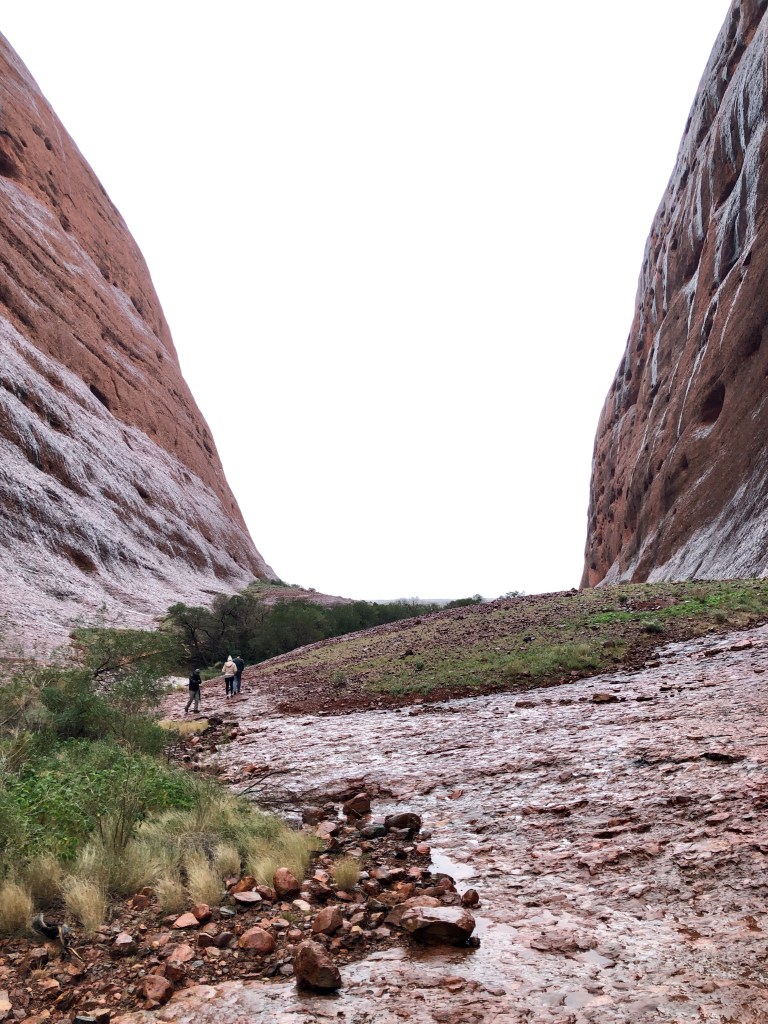
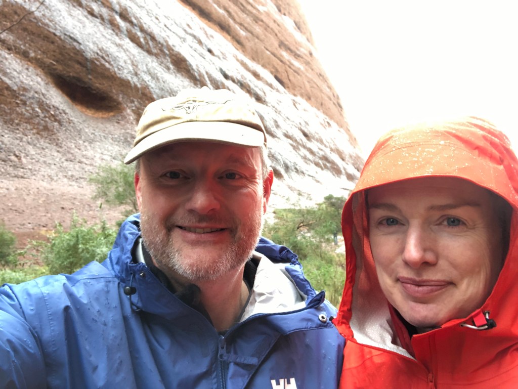
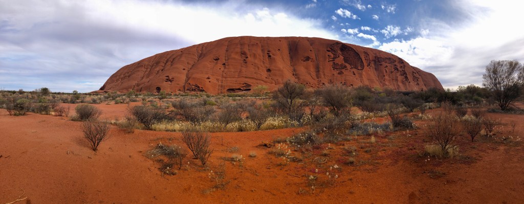
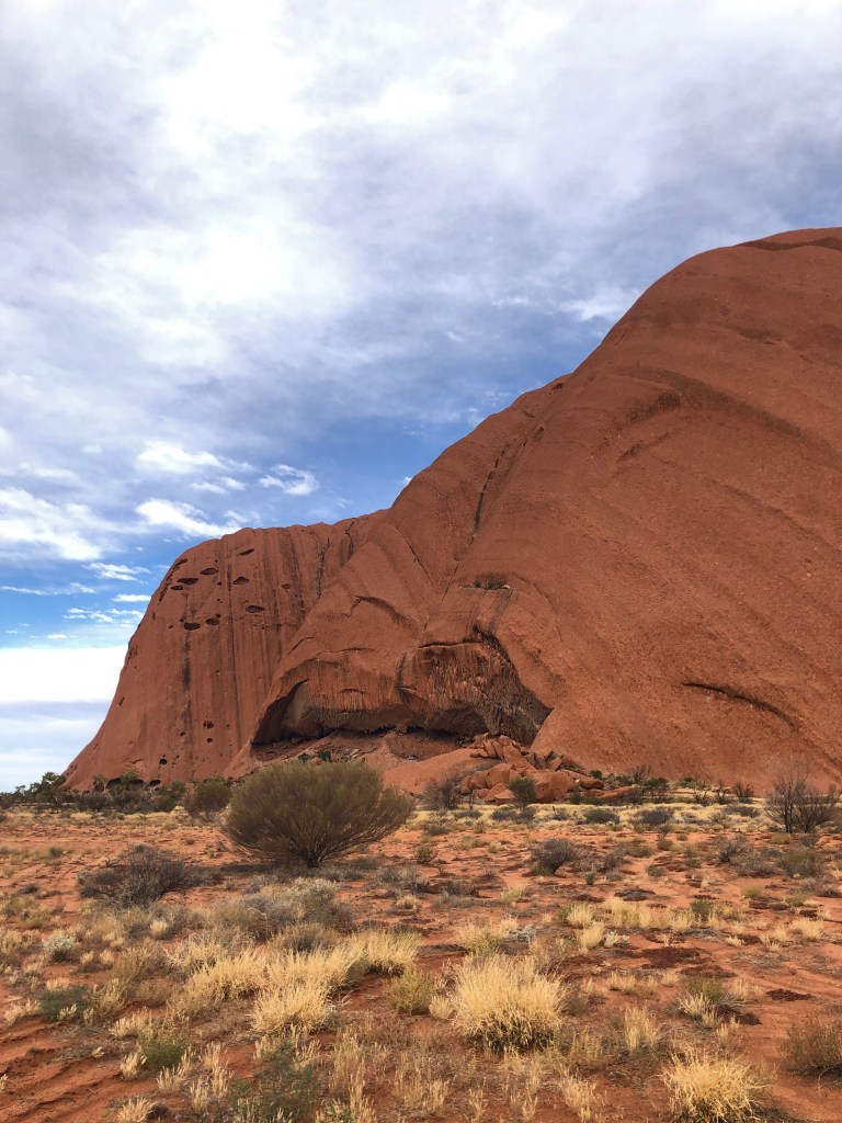
This morning we went out to Kata Tjuta, whose monoliths give the Rock decent competition for the ‘amazing scenery in the middle of the desert’ award.
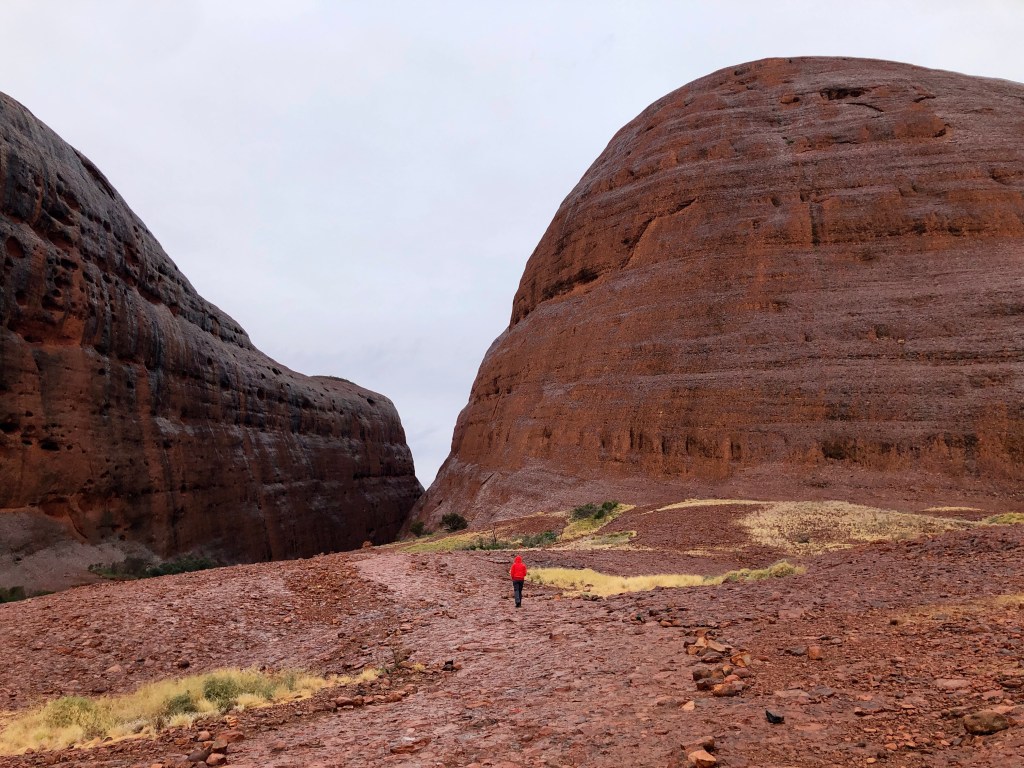
We took the relatively short ‘Walpa Gorge’ walk through a small valley between two of the monoliths. Spectacular.
Ness on the Walpa Gorge walk
By the time we got back to the car the rain had really set in. The weather was now cool to cold. We only had lightweight wet weather gear with us, so we decided to pass on the longer (albeit more spectacular) ‘Valley of the Winds’ walk, having done it several times before in more clement weather ( that is, bloody hot!).
Damp enough for today
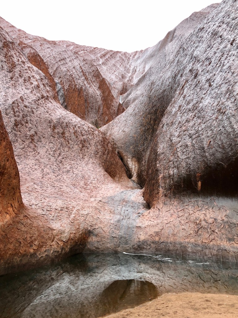
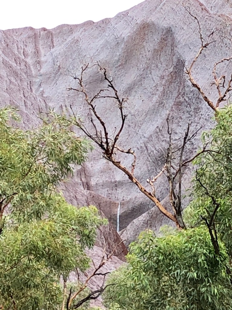
Back via Uluru to check out if any of the rivulets were flowing off the rock. They were!
Water running into the Mutujulu waterhole at the base of the RockA Landcruiser photo bombing our view of the wet Rock
We leave for Wattarka National Park tomorrow, fingers crossed for a dry spell to break camp.
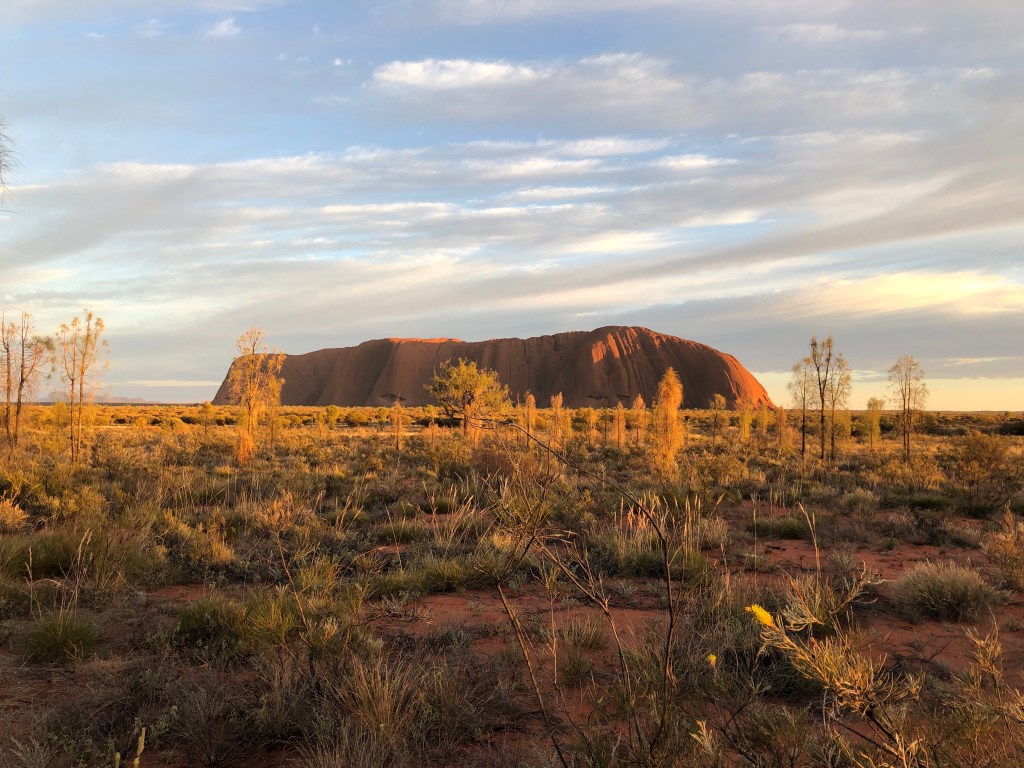
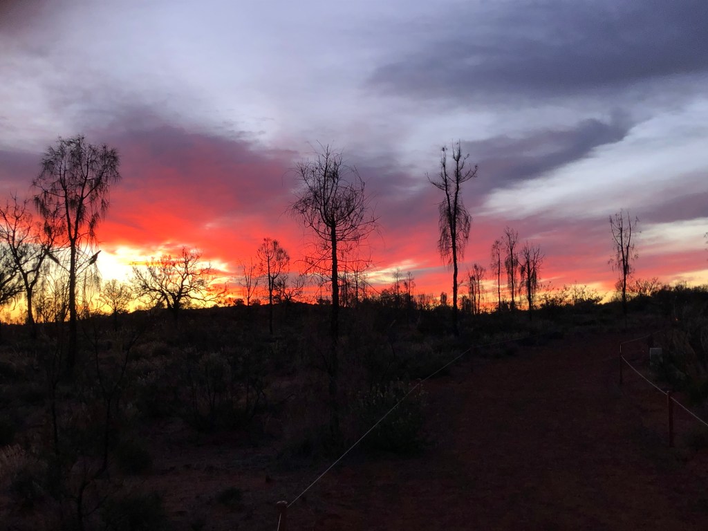
Up pre-dawn to head to the Uluru sunrise viewing area. Watching the sun’s rays hit the eastern face of the Rock never loses its impact. But the highlight was probably the actual sunrise interacting with the clouds on the eastern horizon, framed by the Desert Oaks.
Dawn in the centre
The rest of the morning was nicely leisurely- it’s also a holiday after all! A bit of admin from back home and catching up on some corro included.
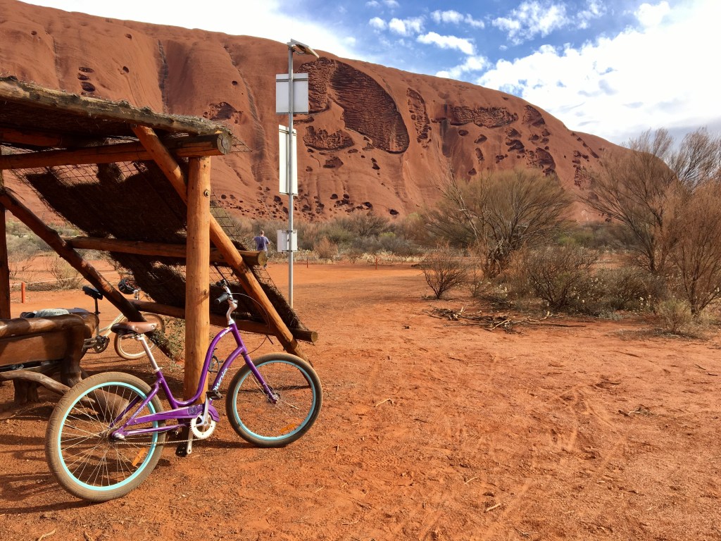
In the afternoon we acquired a couple of bikes and did counter-clockwise lap of Uluru. A great way to see the sights, albeit the hire bikes were even dodgier than Mark’s riding technique. Ness’ remark was that the bikes were made for neither comfort or speed. Mark’s assessment was they had nailed that brief!
Neither comfort or speed…Northern side on our bike lapHeading around towards the Mala Walk
In the evening Jane (Ness’ friend and housemate from Nepal), her husband JP and kids ‘came over’ and we had a BBQ under Bernie’s awning.
A day driving north along the Stuart Highway through Marla and into the Northern Territory. Special shout out to the Moron driving the 70 series Landcruiser with NSW plates who doesn’t need to slow down and obey road works signs.
After the border, past Kulgera, a whistle stop for fuel at Erldunda, then West along the Lasseter Highway to Yulara in time to set up camp in daylight 😀.
Proving it is a small world , as we check into the Campground we run into Ness’ friend Jane from Queensland . Jane and Ness lived together in Nepal when working on an AusAID thing a few years back.


You must be logged in to post a comment.