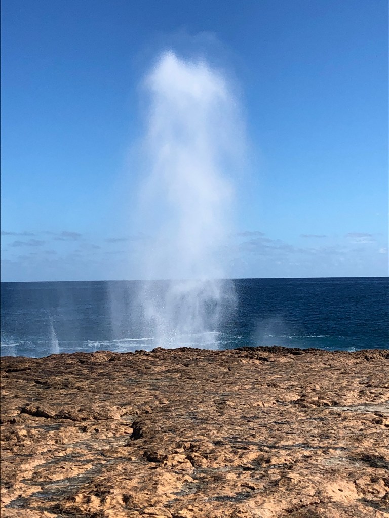
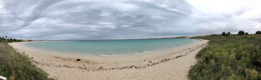
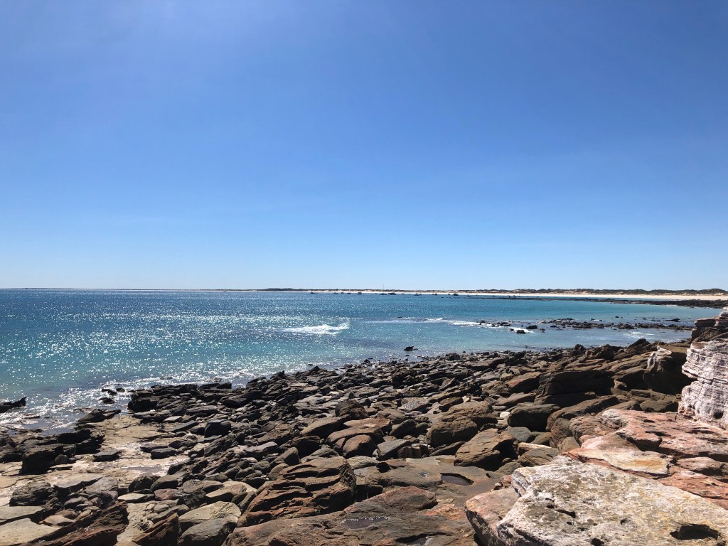
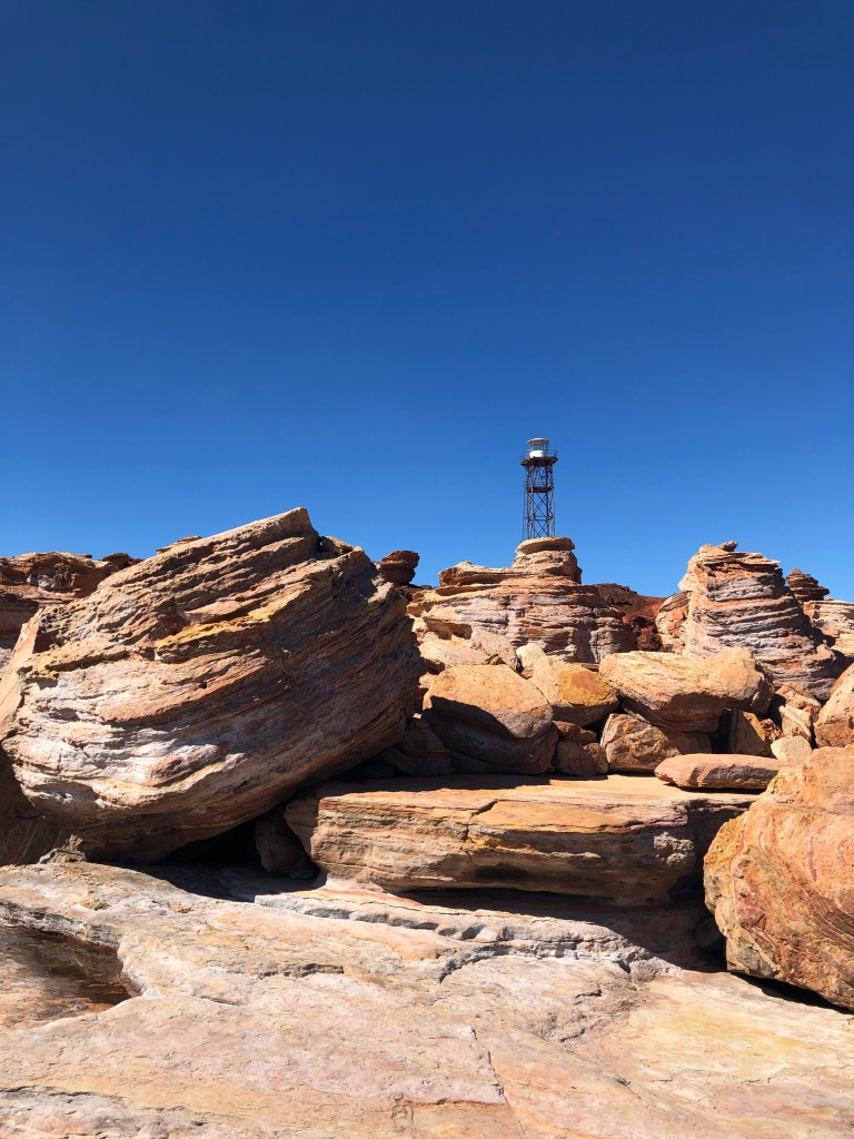
Sunday Morning, good long walk around the delta of the Gascoyne River Mouth, followed by a good Brekkie at the end of the old ( now decrepit) railway pier. Then headed back north, past the ‘blowholes’ , through Quobba Station to Gnaraloo Station and their 3 Mile Camp on a lagoon adjacent to both the Southen end of the Ningaloo Reef and the somewhat famous ‘Tombstones’ break.
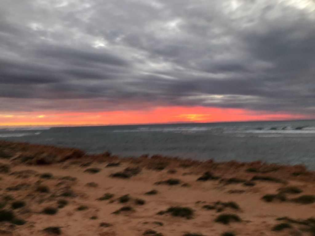
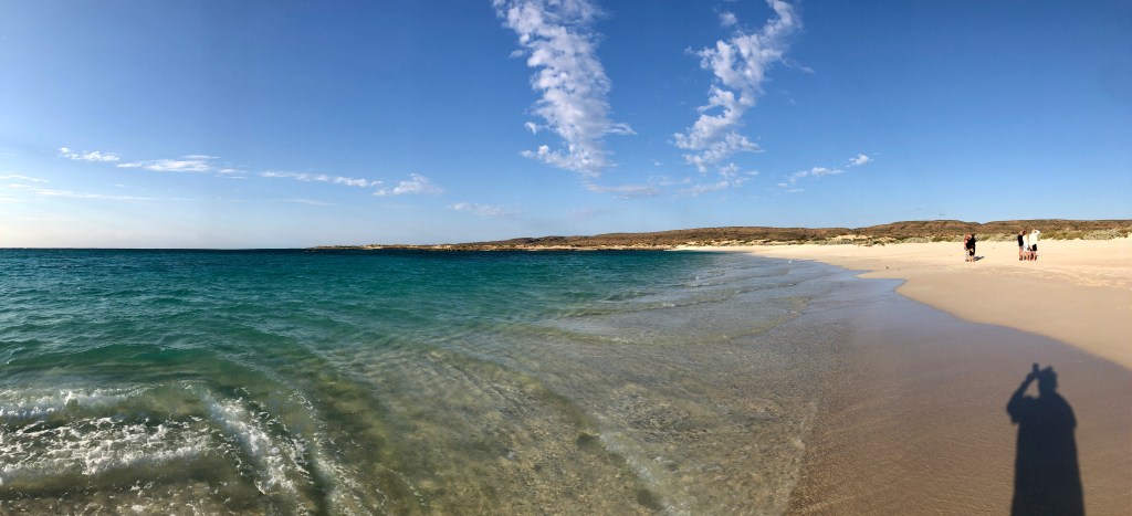
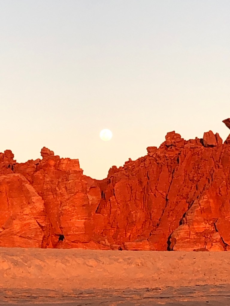
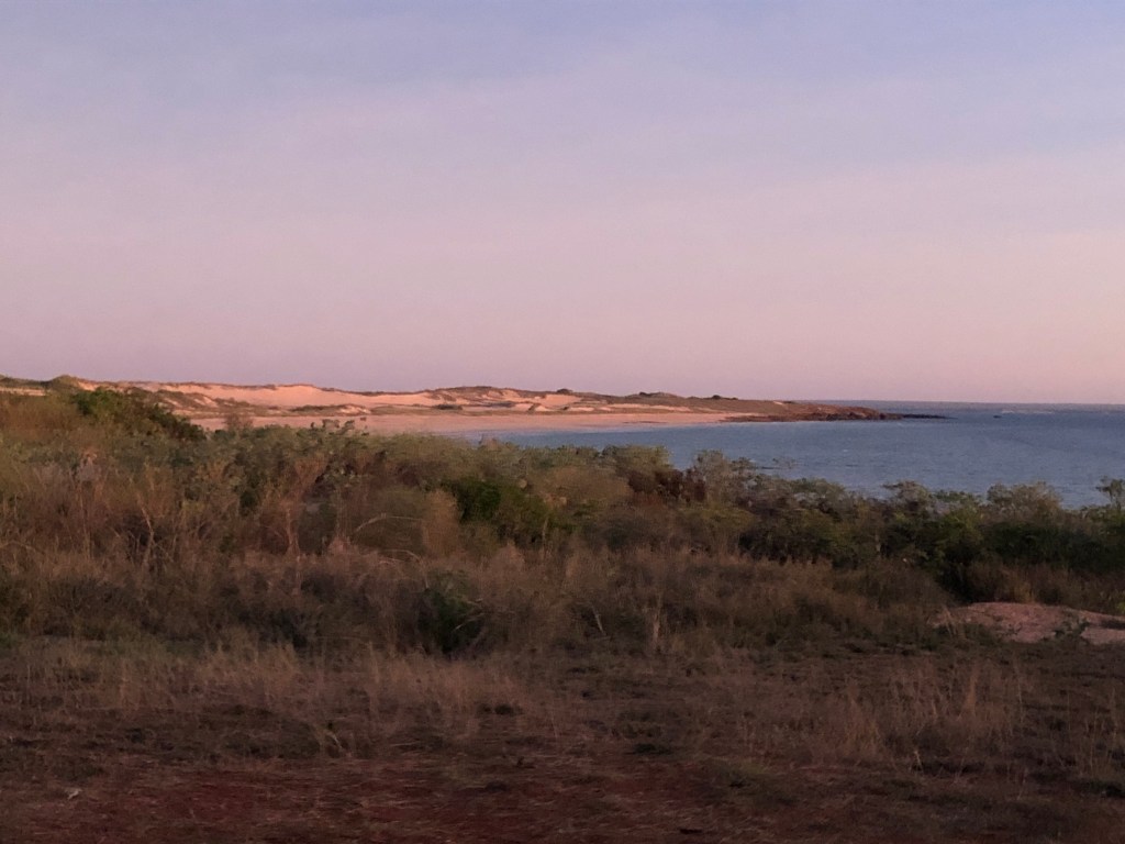
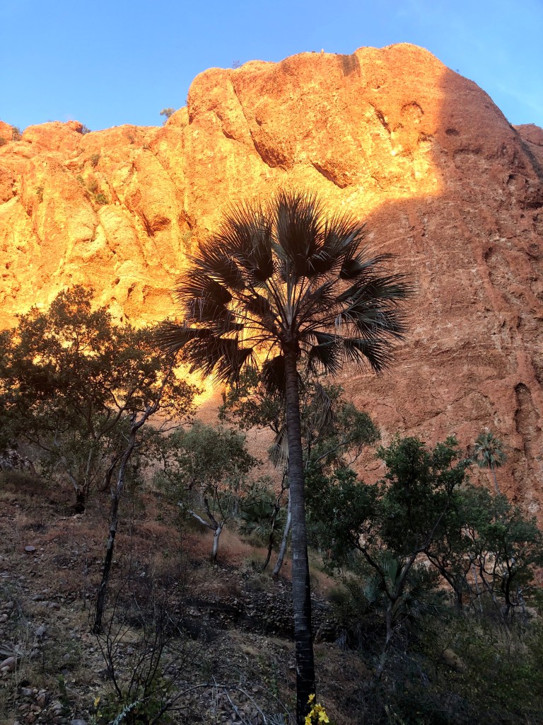
Looking South at 3 Mile in the direction of Tombstones
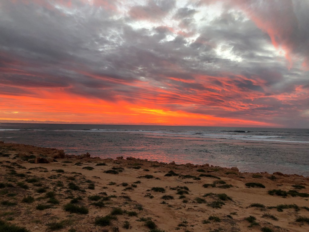
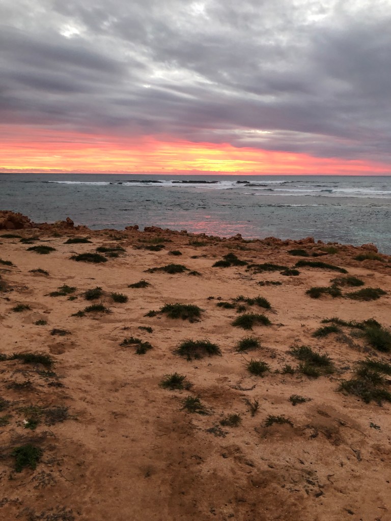
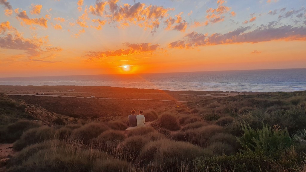
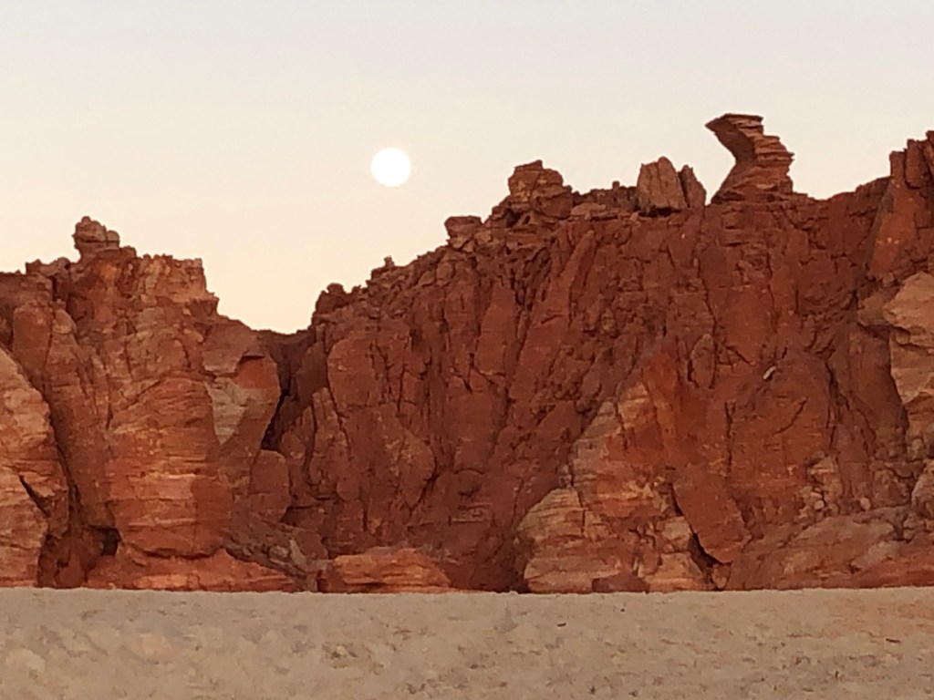
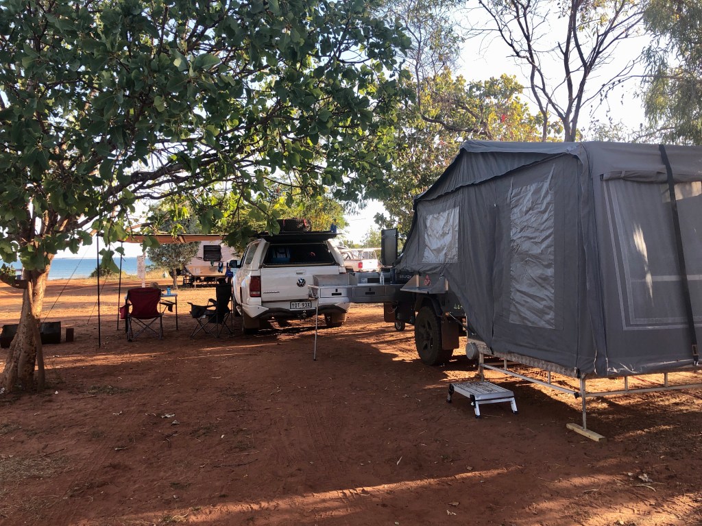
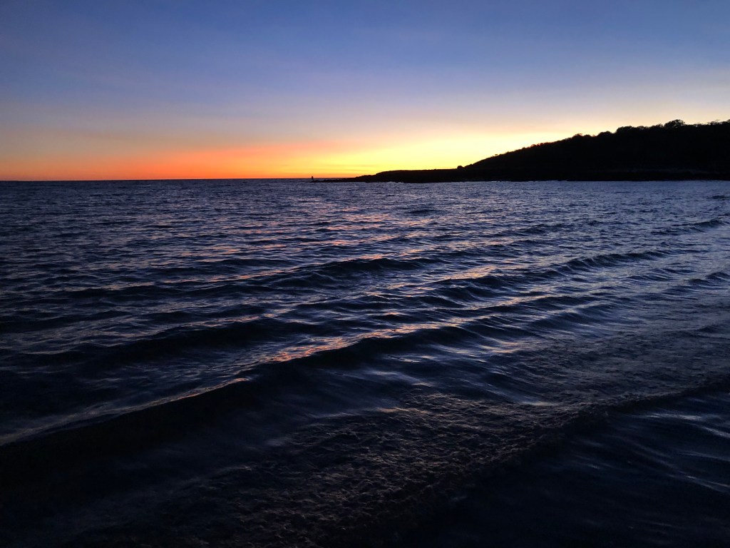
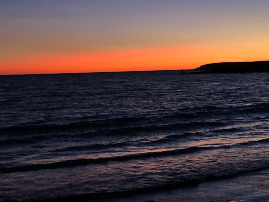
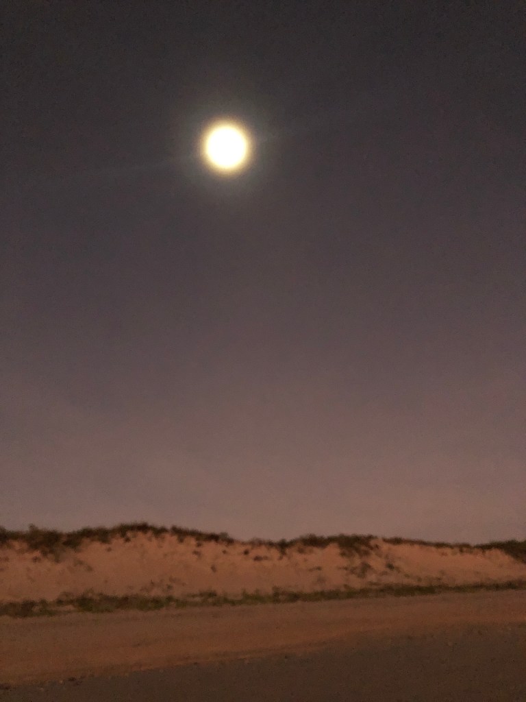
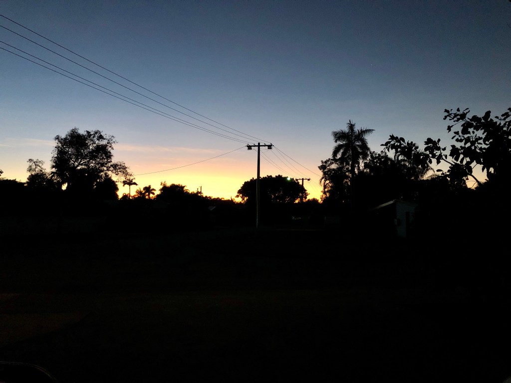
A great campsite , around 100 metres from the beach with awesome views and a stiff breeze to keep the flies down . After setting up it was time for a walk and swim. Sunset that evening was probably the best one yet – that is saying something as WA has really turned it on.
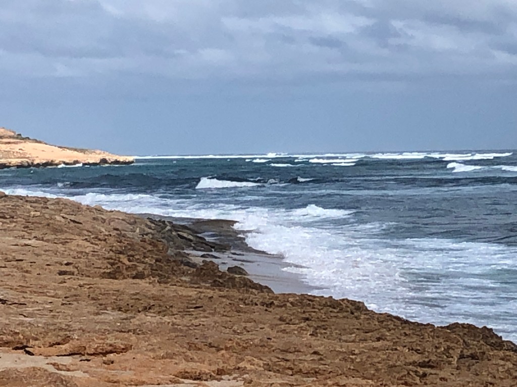
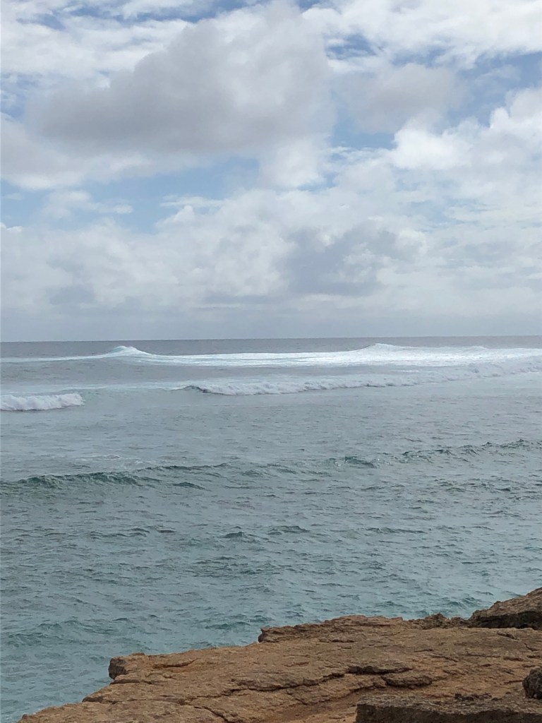
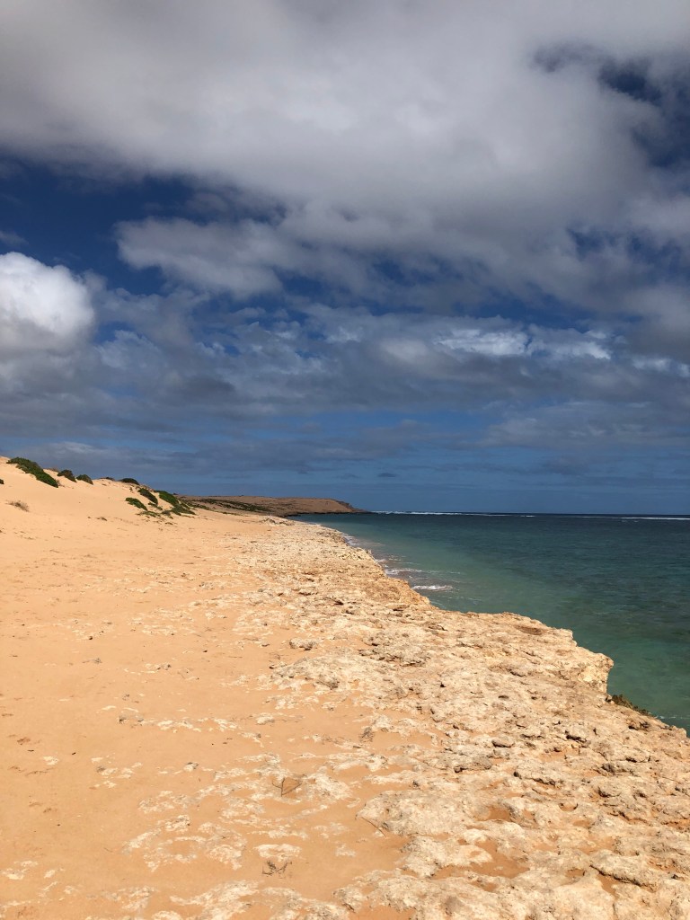
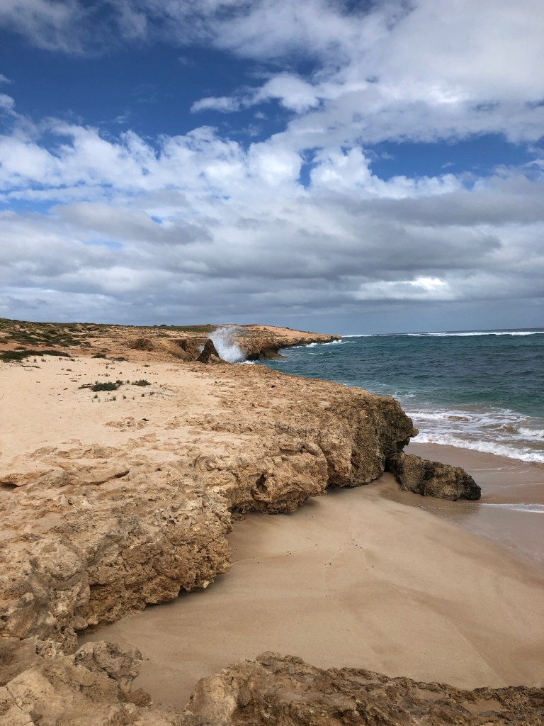
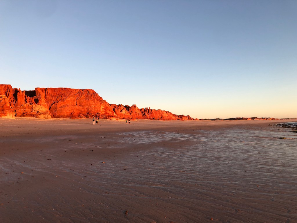
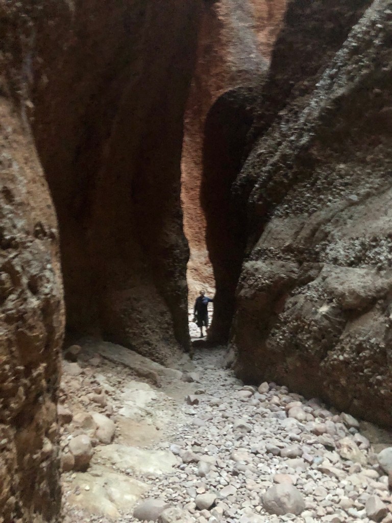
Next day spent walking , exploring and beaching ( yes, that’s a word). Having neither a surfboard or much ability we gave Tombstones a miss from the water side- maybe a future project 🤔. Those out on the break seemed to be having a good time of it .
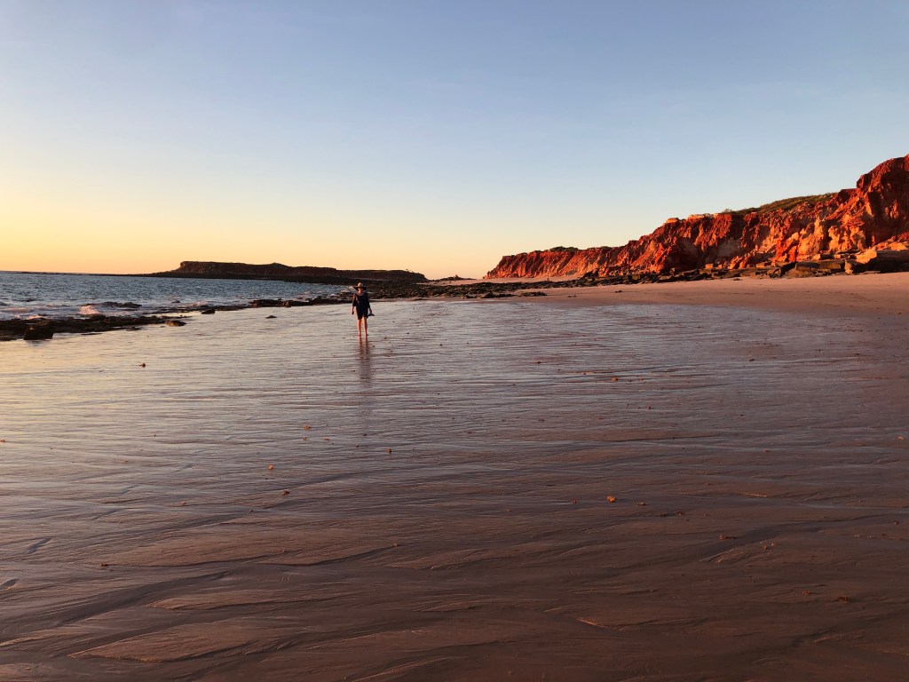
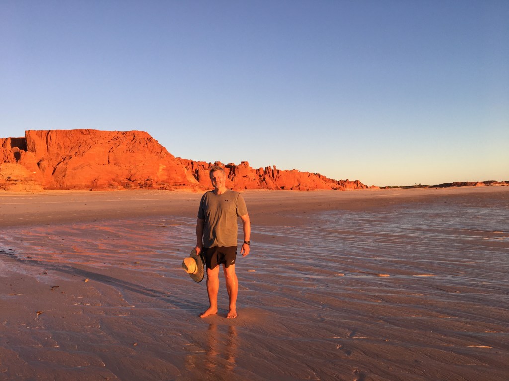
Leisurely pack up on Tuesday morning, then a quick walk on the beach prior to heading south again. Plan is for two nights at Wooramel Station in the Gascoyne Region prior to more coastal activities at Monkey Mia.
Leaving the Pilbara, we had a relatively uneventful drive ( less broken windscreen 🙄) to in Exmouth mid-afternoon on Wednesday. It is peak season and the town was full to the gills… there was even overflow camping occurring on the town’s sports oval. But Exmouth is less about the town and more about the natural wonders around it – most specifically the Cape Range National Park and the adjacent World Heritage listed Ningaloo reef ( apparently the world’s largest fringing reef). The area has a long human history too. We acknowledge the traditional owners , the Jinigudera people and pay our respects to their elders, past, present and emerging. European contact with the area began with the Dutch around the 1600s.
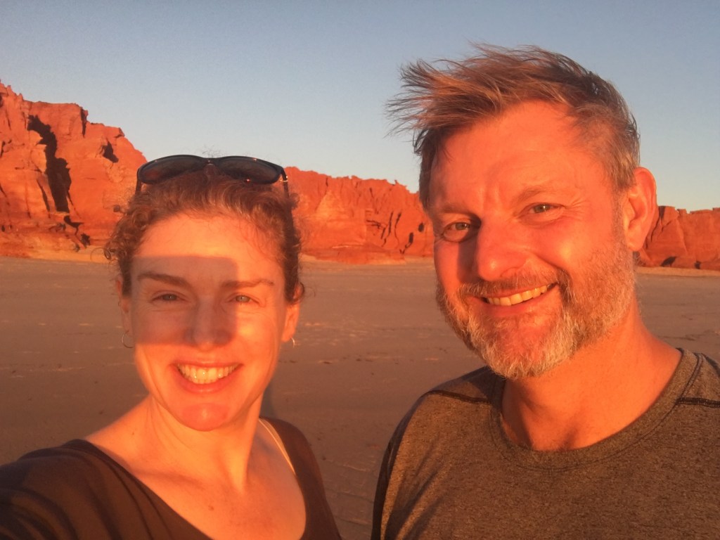
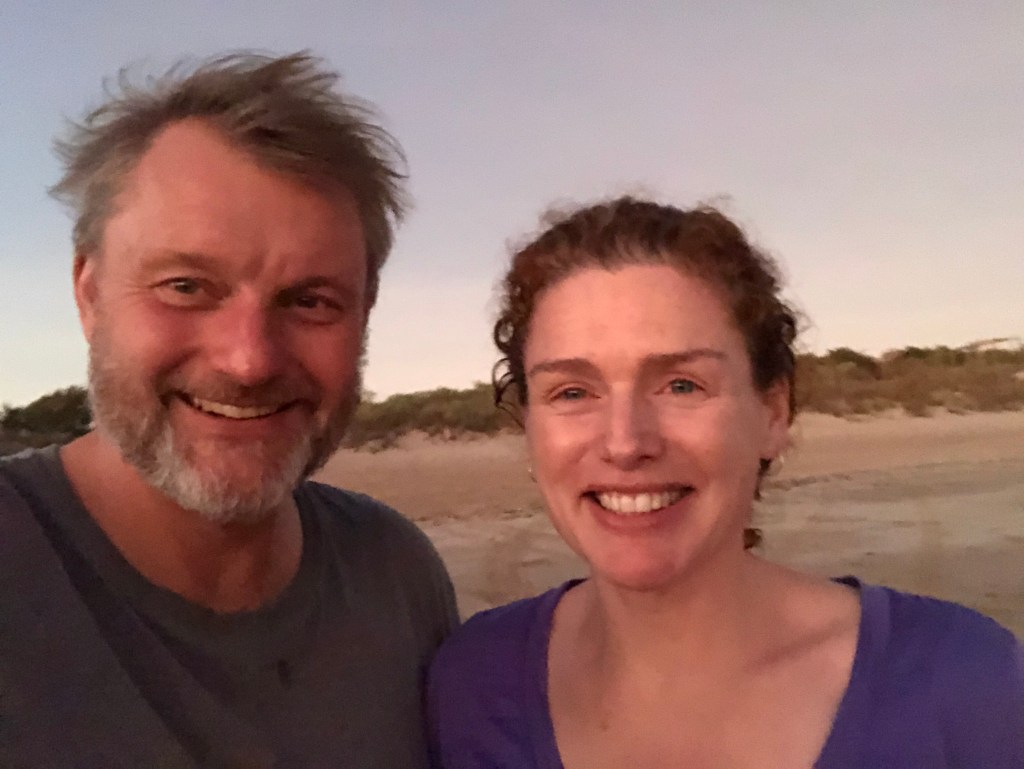
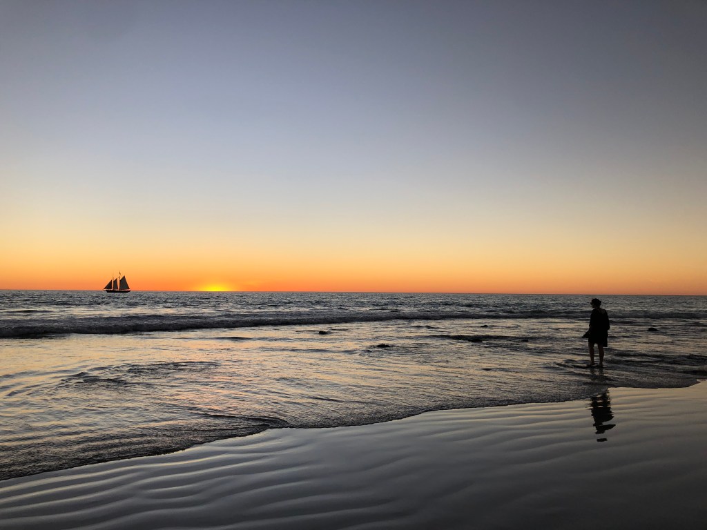
Sunset from Vadmingh Head Lighthouse , Ness and Mark in the foreground
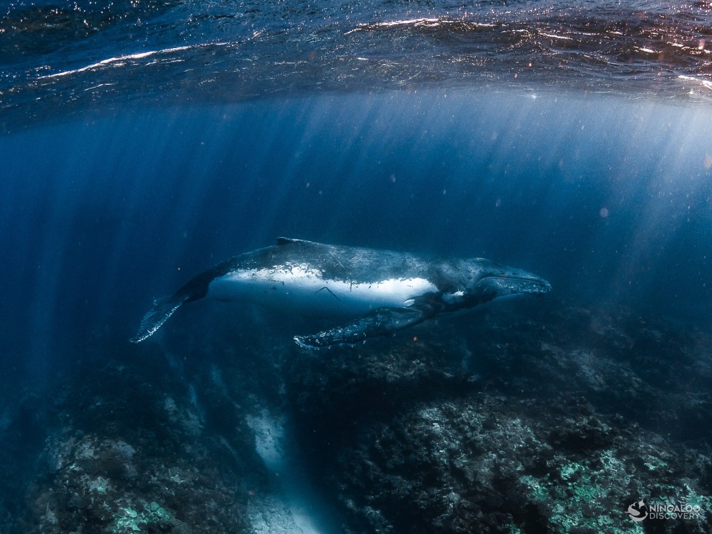
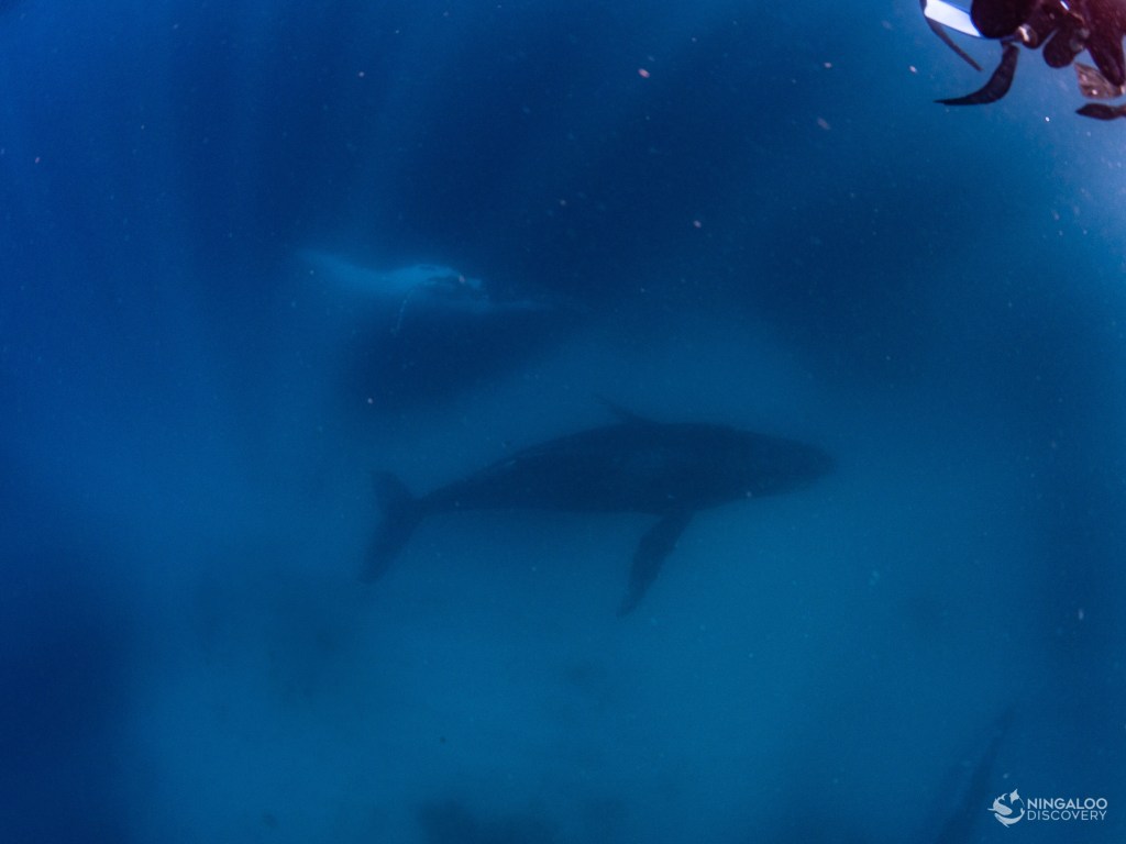
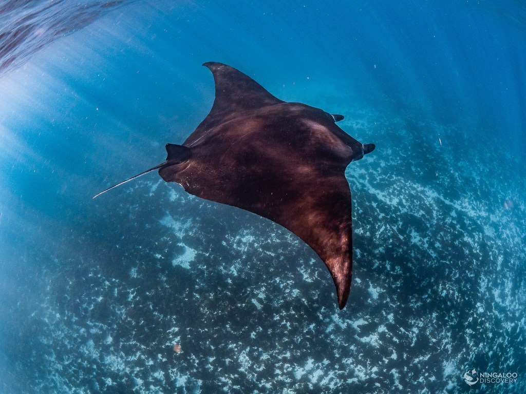
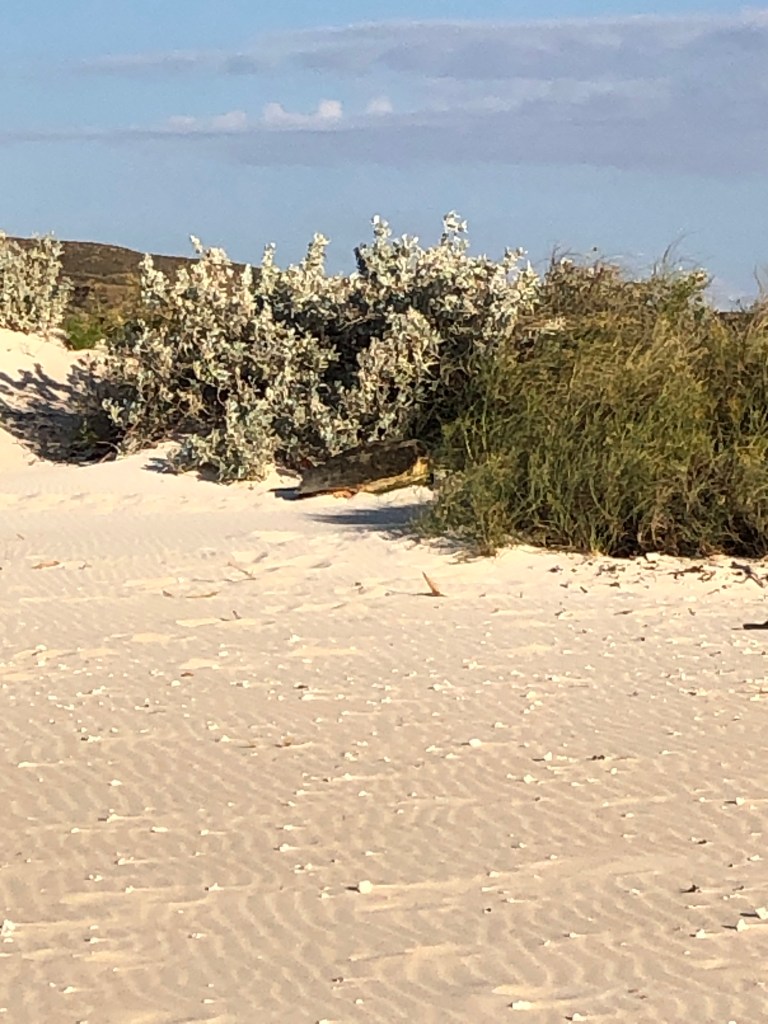
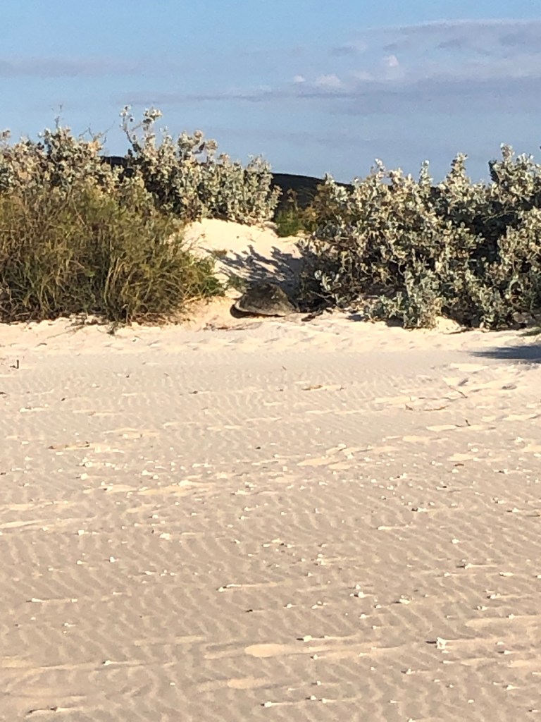
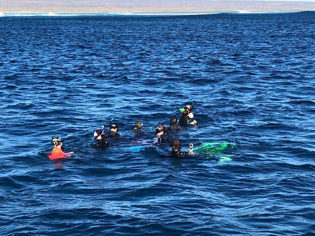
As well as being physically beautiful, the marine park and coast is teeming with life . We saw more Humpback Whales than you could count ( the WA migration population is now estimated at around 45,000 , up from around 500 when commercial whaling in WA ended). We also saw bird life , sea turtles ( including one nesting) and more tropical fish on the reef than you could take in.
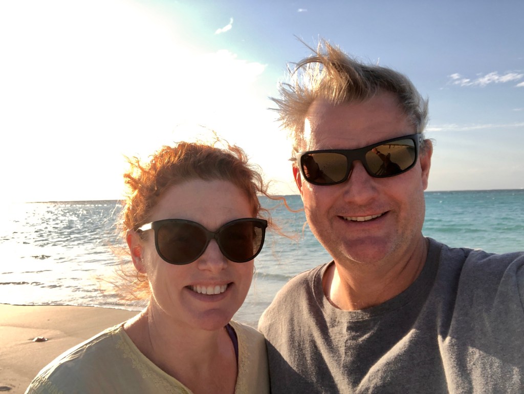
Went swimming with Humpbacks – this one and others !More humpbacksManta Ray, Ningaloo ReefTurquoise Bay, Cape Range National ParkTurtle Nesting Turquoise Bay #1Turtle nesting Turquoise Bay#2Obligatory beach selfieThe life aquatic, outside the reef, hanging around and waiting for some HumpbacksBreakfast on the beach at the ‘Beach Shack’, Saturday morning.
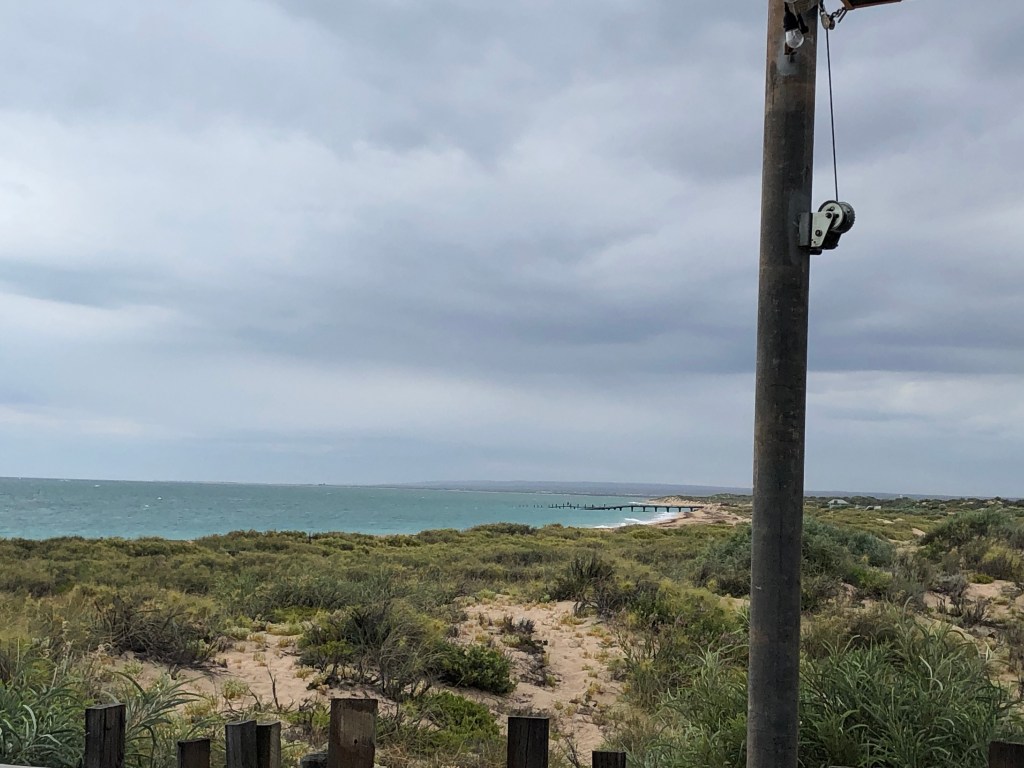
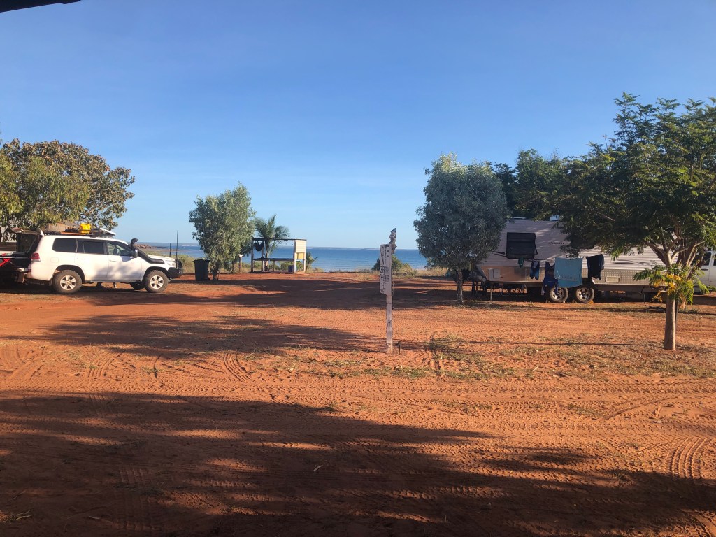
We (sadly) left Exmouth on Saturday and drove via Coral Bay ( for a look) to Carnarvon. Today (Sunday) we are heading up the coast to Gnaraloo for a few days.
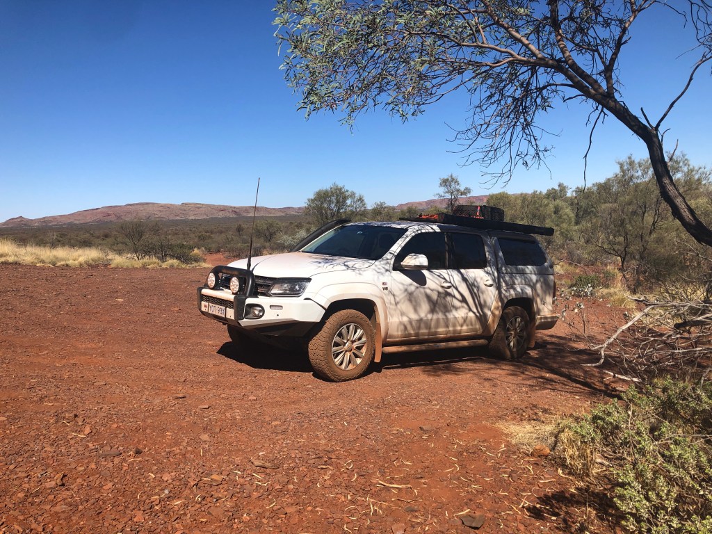
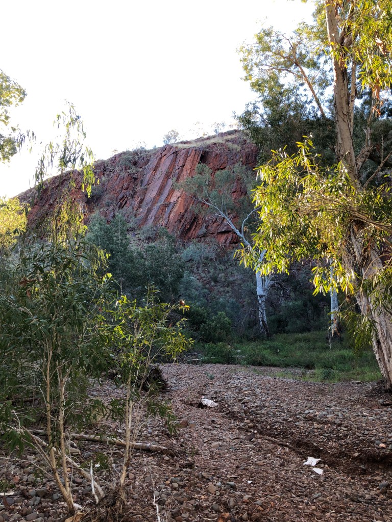
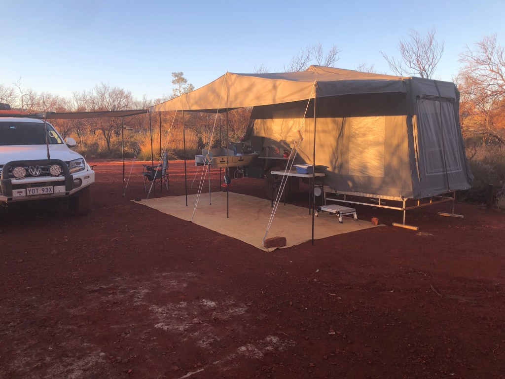
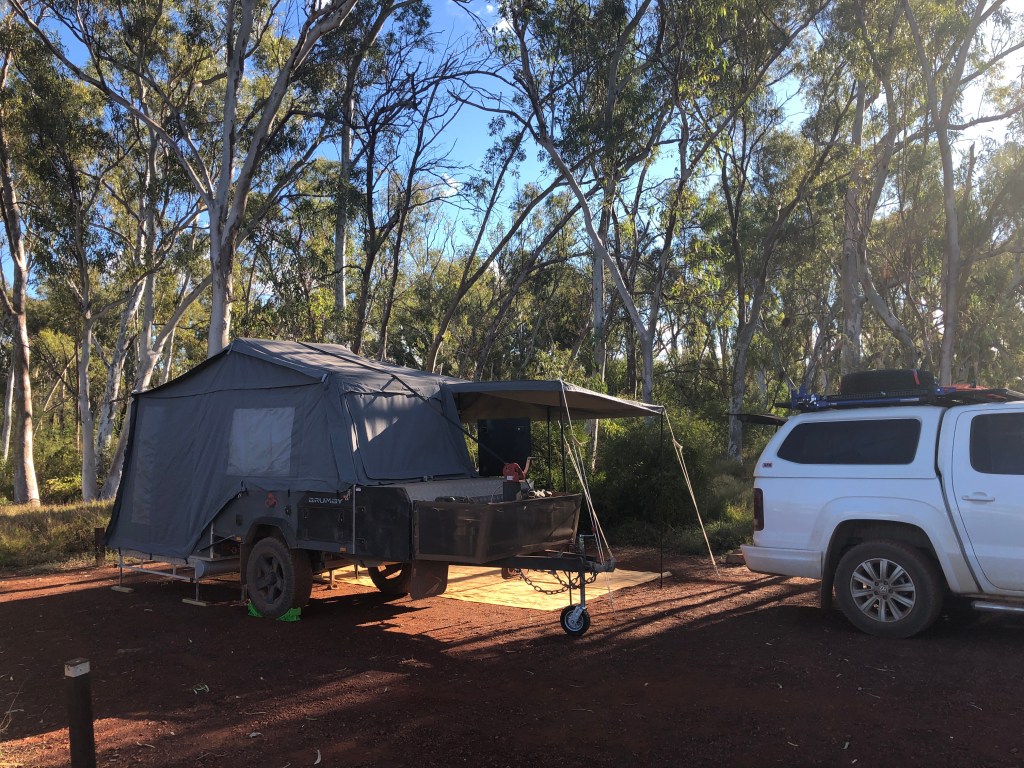
Leaving Tom Price , driving West, and dropping around 200 metres we went to a station stay in a private site in a Gorge. Cheela Plains Station is a large cattle run that has a side business in tourism as it covers some remarkable terrain in the Pilbara. We spent two nights camped alongside the ‘Mussel Pool’ in a gorge on the Beasley River .
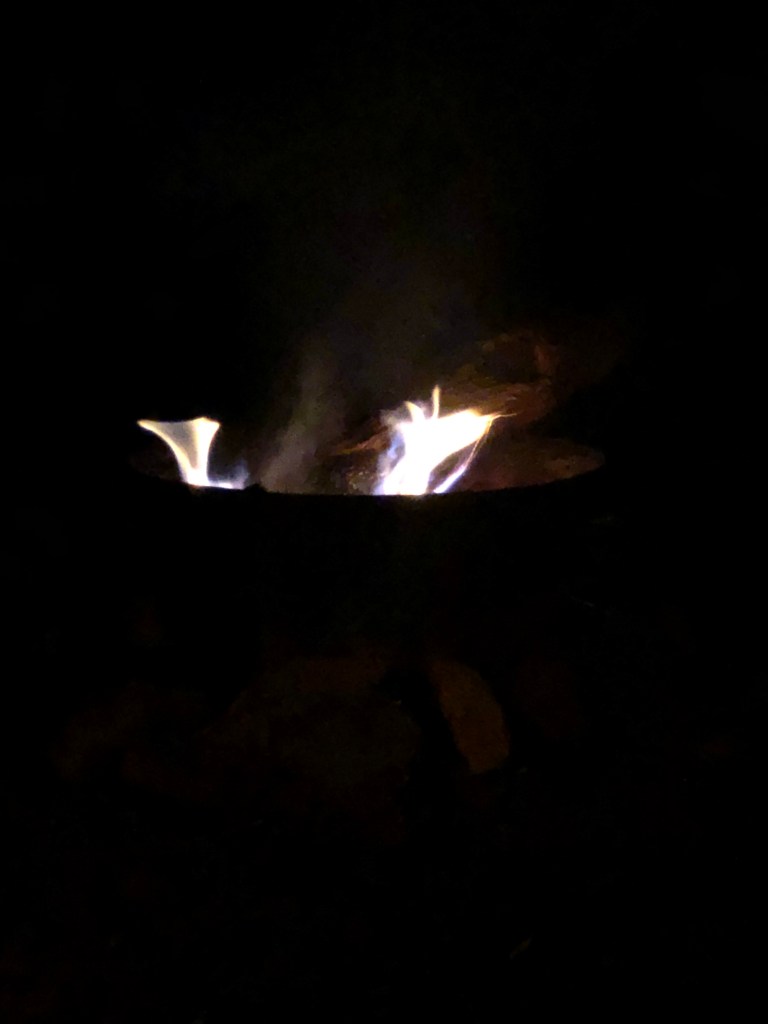
The ‘rok near the ‘wall’Approaching the ‘Wall’ on the walking path , Cheela Plains Station Ness on the walk inThe ‘Wall’The ‘Mussel Pool’, Cheela Plains Station Percentie Falls ( dry 🙄)Above Perentie FallEvening walk down the Beasley River bedMonday night campfire – grilled rump steak and broccolini done right !
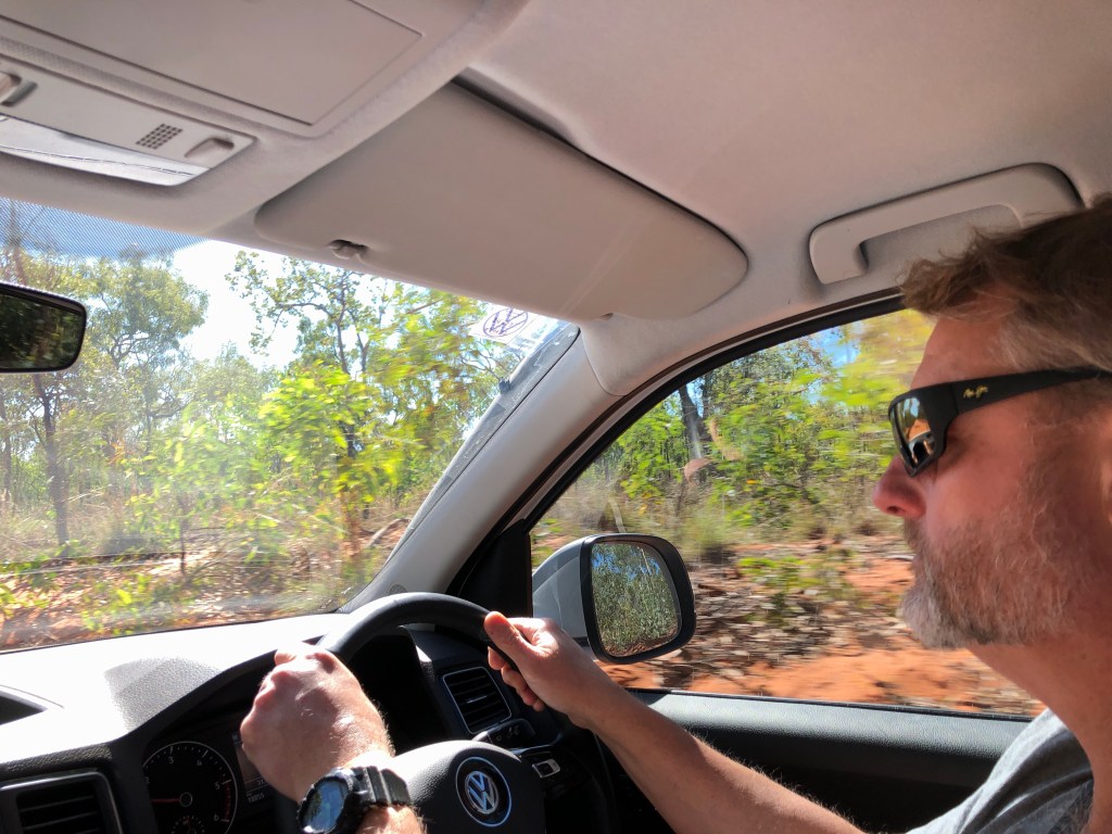
Wednesday morning an early pack up and drive to Exmouth . Copped a rock on the Amarok windscreen on Highway 136 about 50 Km short of the North West Highway ( National 1) @ Nanutarra . Star spread into a crack across the driver’s side windscreen by the time we arrived in Exmouth . Will try and risk manage it until a planned service in Perth later this month.
Plan for tomorrow is a humpback whale swim tour for Mark and a Snorkelling tour on Ningaloo Reef for Ness. Reason for the divergent itineraries is one is inside the fringing reef and one on the open ocean …and one of us gets quite seasick on occasion…
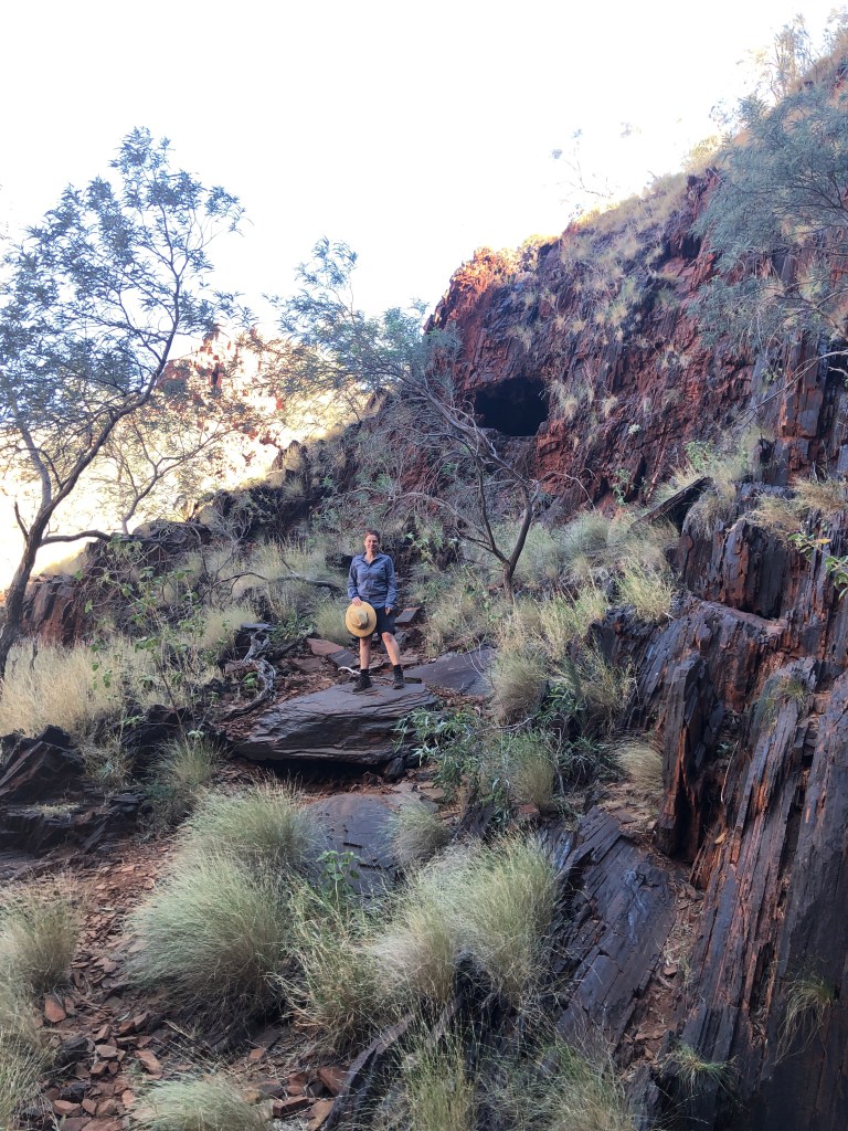
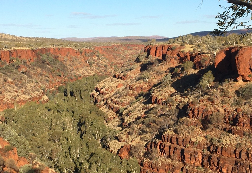
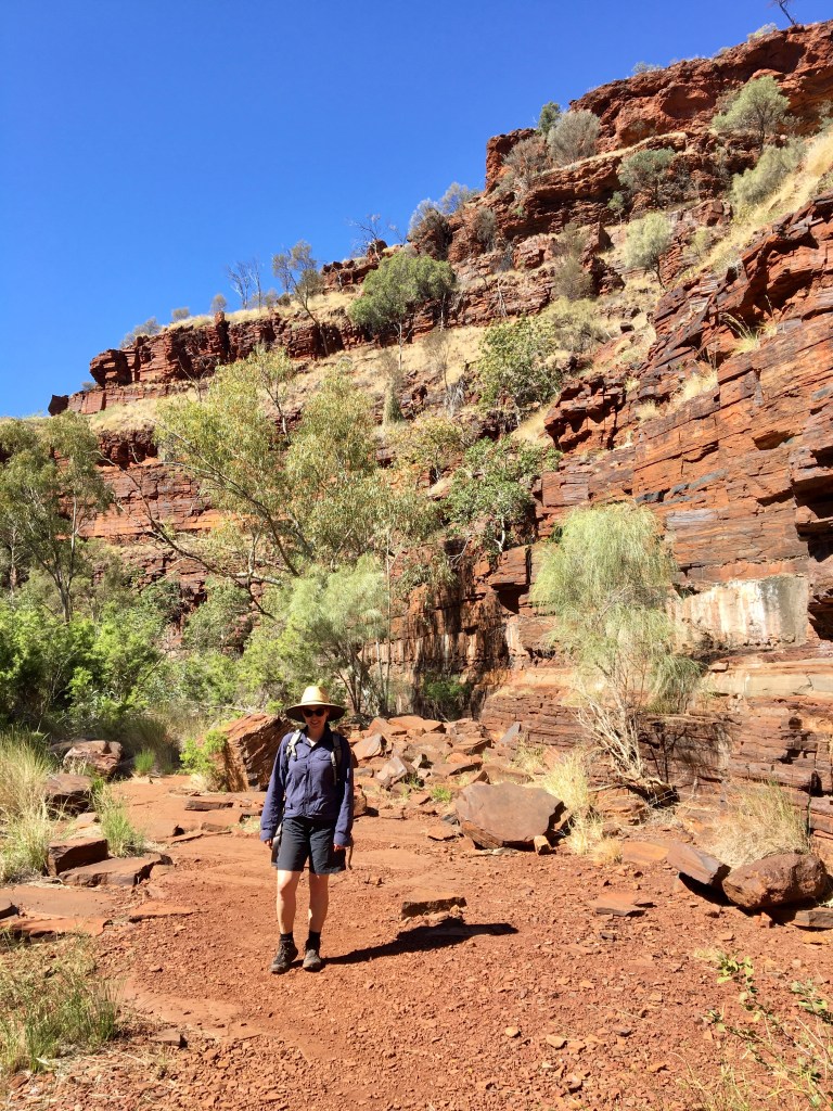
Departing Tom Price ( a nice enough looking place for a company mining town) we spent four days in Karijini National Park. The Park sits astride the lands of the Kurrama, Martijda Banyjima, Miliyuranpa Banyjima and Yinhawanka peoples. We acknowledge their traditional custodianship and pay our respects to their elders, past, present and emerging.
Karijini is a big place , we spent two nights in the Western Section, staying in the Campground at the Karijini Eco Resort, followed by two nights at Dales Campground in the Eastern Section of the park.
Campsite at DalesMark’s beard fell off at Karijini one night …
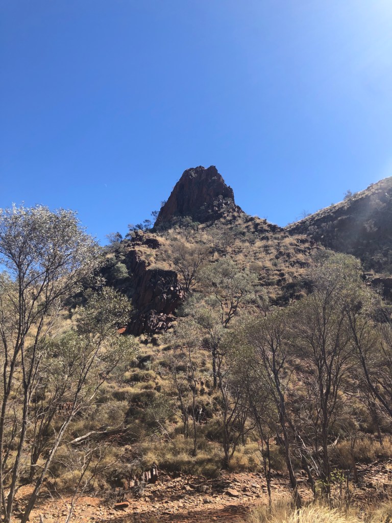
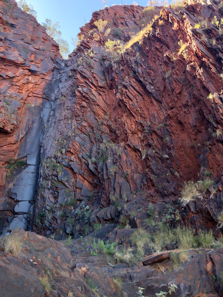
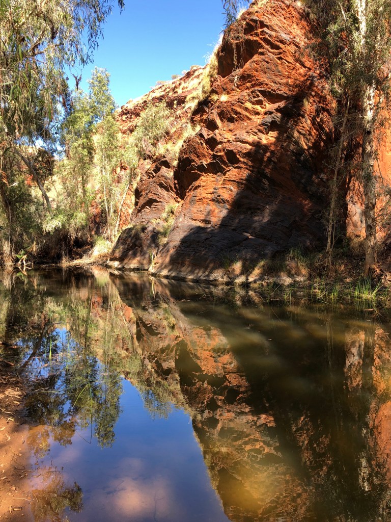
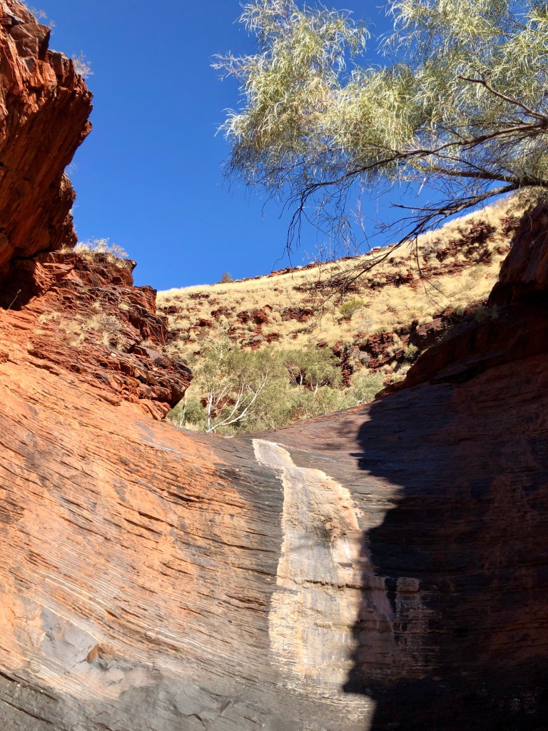
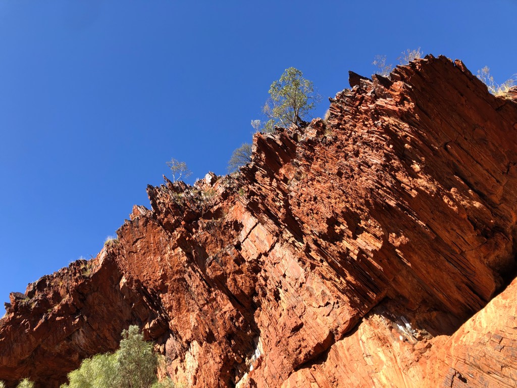
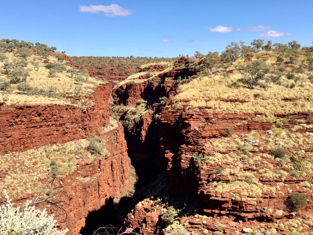
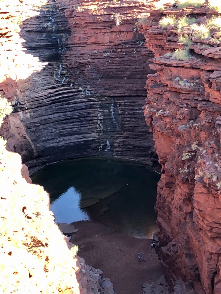
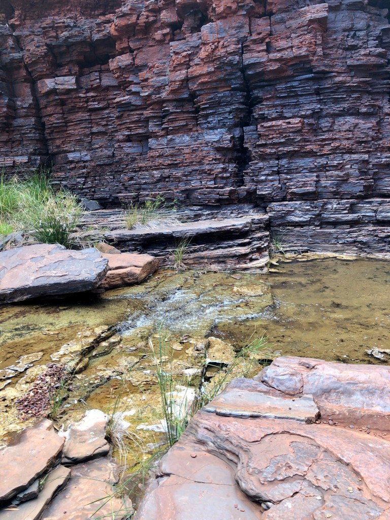
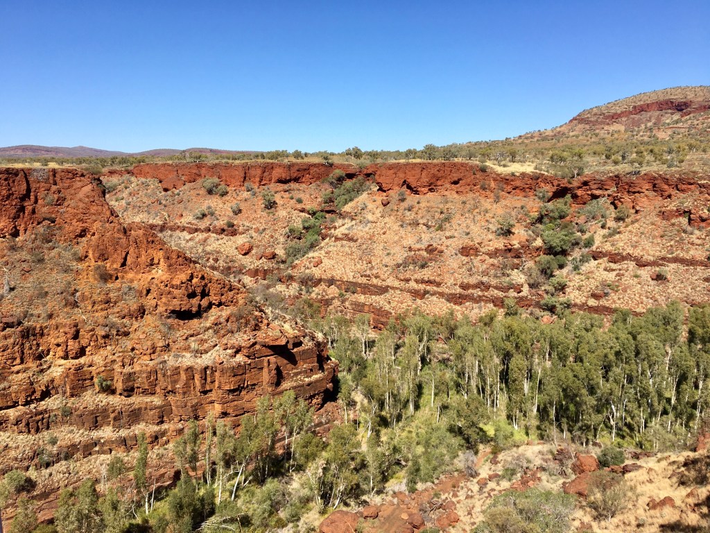
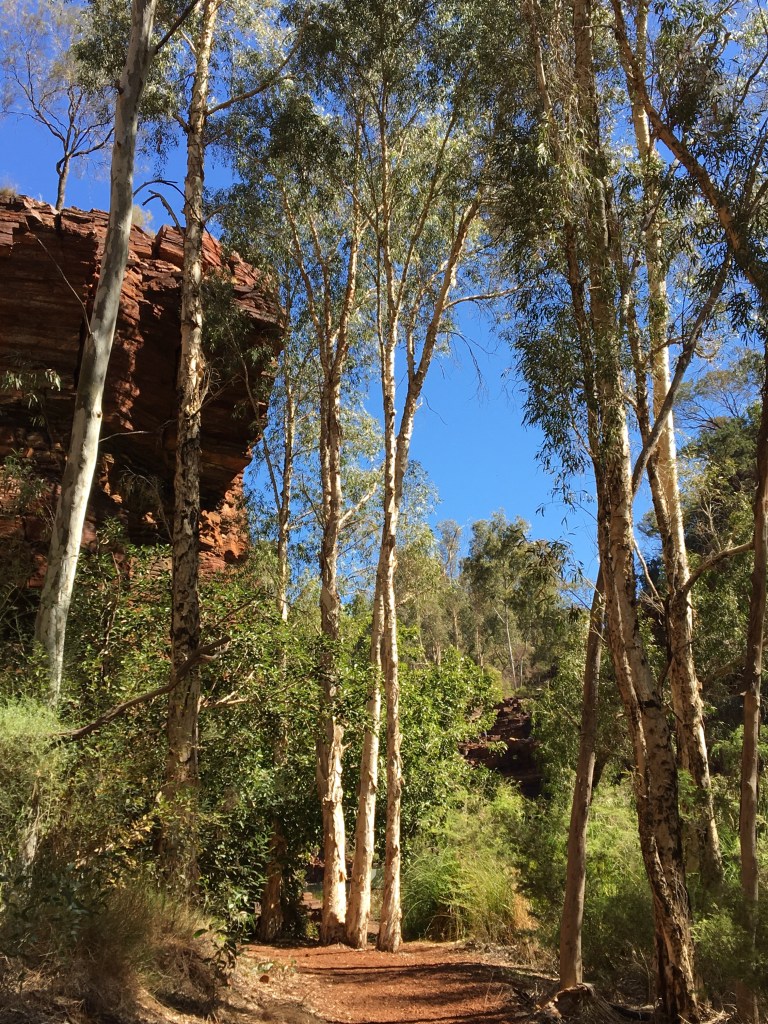
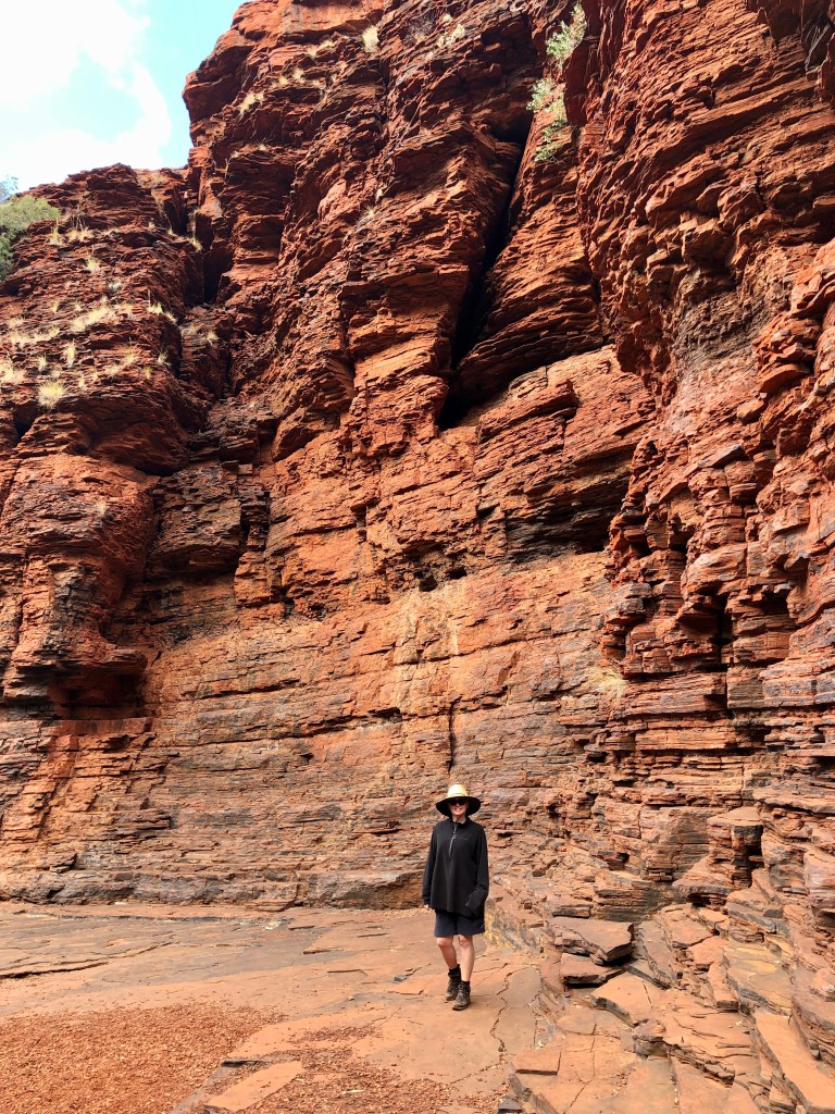
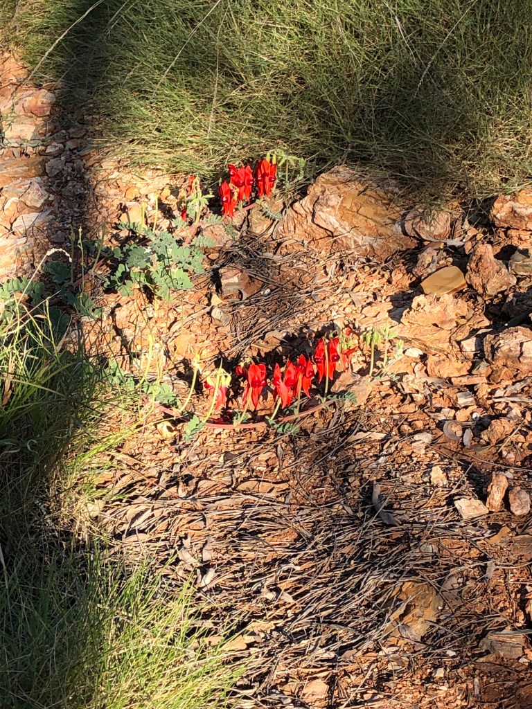
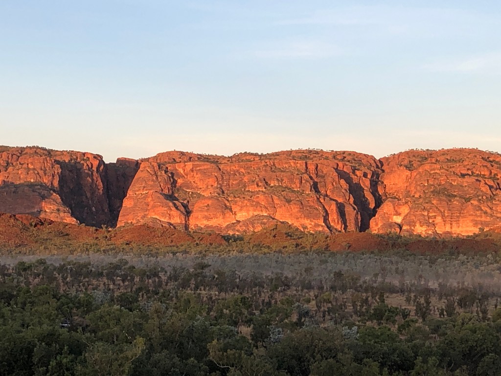
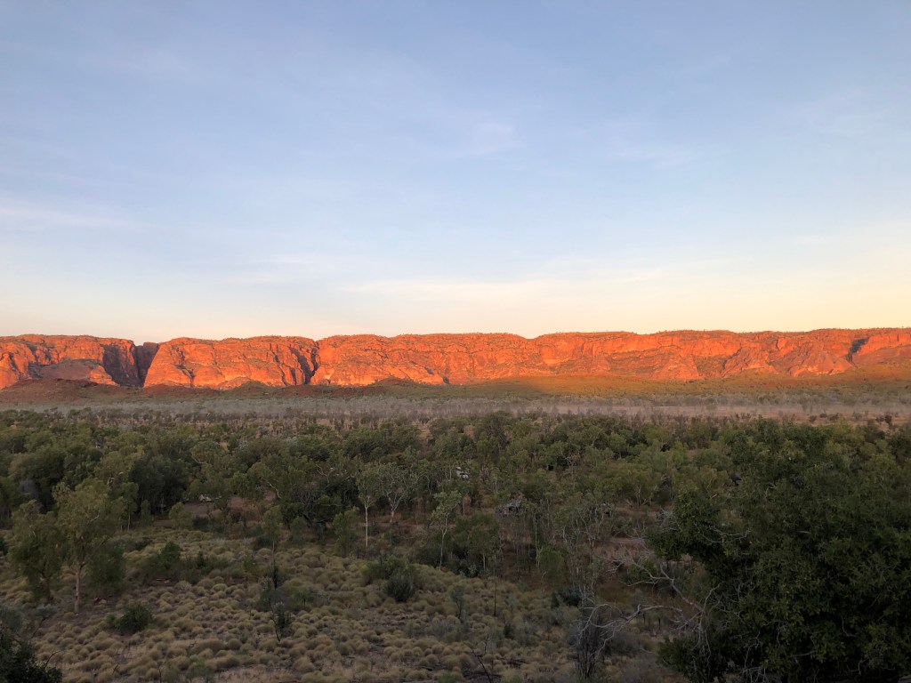
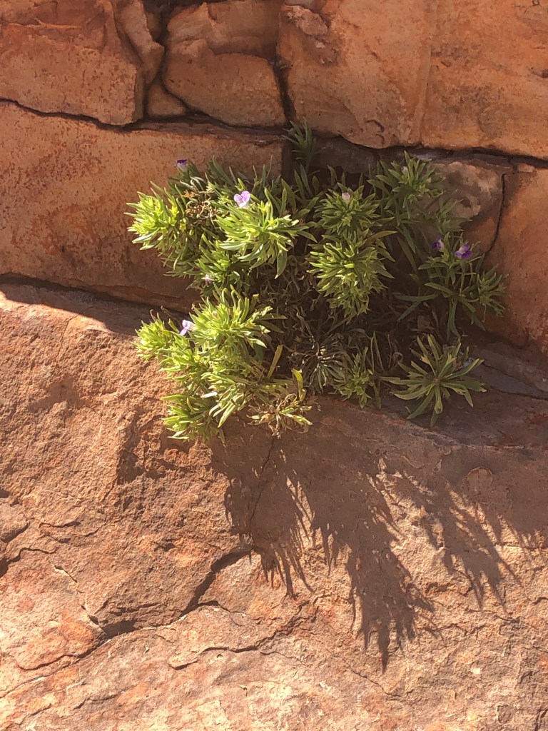
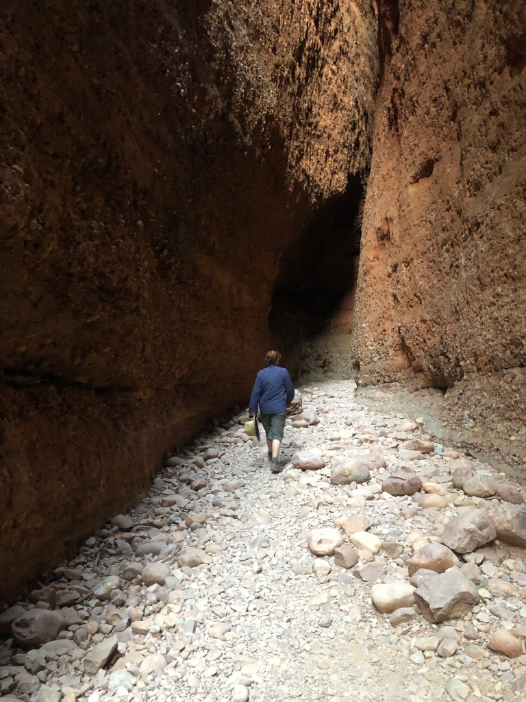
Karijini is the land of red rocks, green/ grey spinifex and stupendous gorges. The gorges aren’t always apparent until you are on them or in them. They host waterfalls, stunning red cliffs , delightful waterholes, great vegetation and good bird life. It is also a bit cooler than the coast at between 600 and 80 metres in places . We even had a sprinkle of rain on our second night.
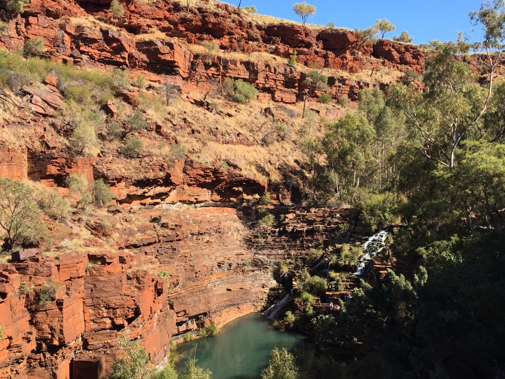
Path down to Joffre FallsJoffre Falls , just before a very brisk swim, AM day #2Oxer lookoutLooking down on Joffre later that day from the Eastern edge
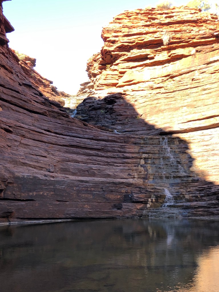
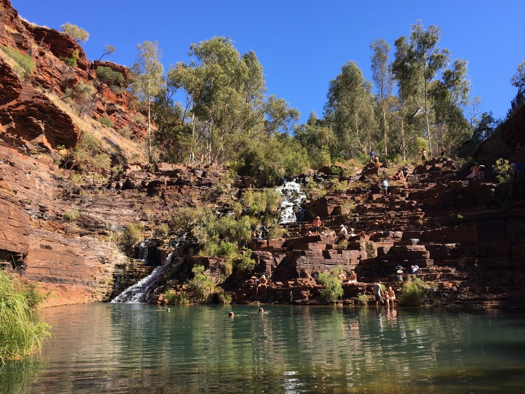
Highlights included the scramble and wade into Joffre , freezing morning swim below the waterfall in Joffre, Knox Gorge, all of Kalamina Gorge and the walk through Dales and swimming at Fortescue ( we were ‘swimmed out ‘ by the time we got to Fern Pool). Slight disappointment in that Mark had a touch of gastro 🤢 the afternoon we were to do Hancock Gorge , so we waved that off. And the Circular Pool is now only visible from the lookout – the walk in is closed do to the threat of falling rocks from unstable cliffs either side.
Kalamina GorgeKalamina Gorge #2Three way lookout @ DalesLooking West down DalesNess in Dales GorgeFortescue Falls #1Fortescue Falls#2
In all, a great park and a very special place. It was worrying to hear that there are mining tenements over part of the park . Given how much ore there is in the North West it beggars belief that anyone should mine in this park .
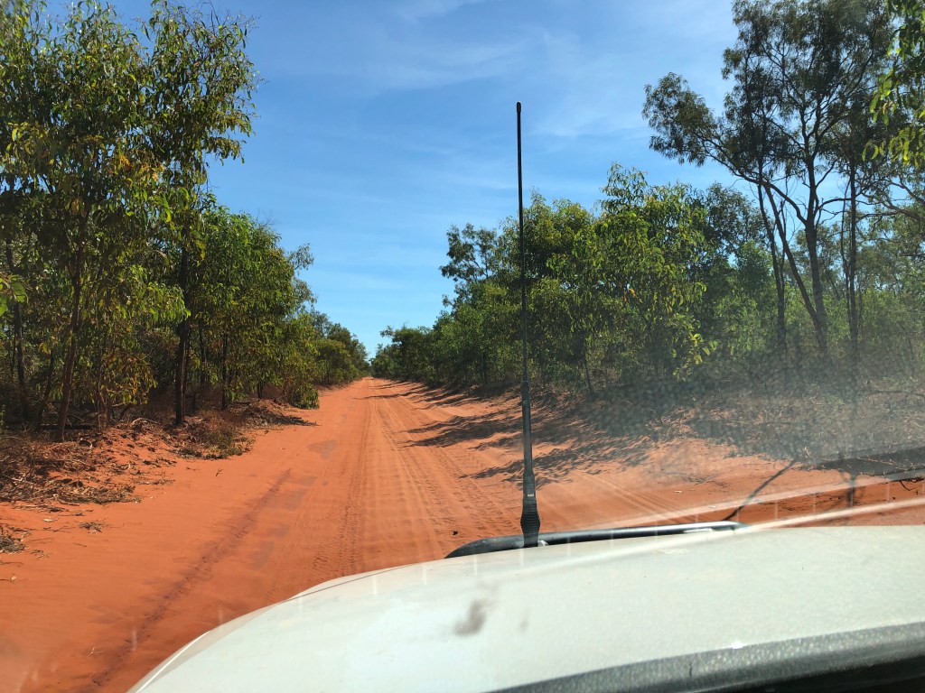
Day 45 was a long and tedious day driving from Broome to Karratha along the Great Northern Highway. We have left the ‘Kimberley’and are now in the ‘Pilbara’.
On Tuesday we stocked up on fresh stuff for a week inland. We left Karratha via a side trip to the Burrup Peninsula to look at petroglyphs up to 40,000 years old . Awesome. It was humbling to think that over a thousand generations of humanity have been going to the one site to either create or see art and stories. We didn’t take any photos of the petroglyphs themselves as the traditional owners have requested people don’t.
The site of the ancient petroglyphs on the Burrup Peninsula, near Dampier.
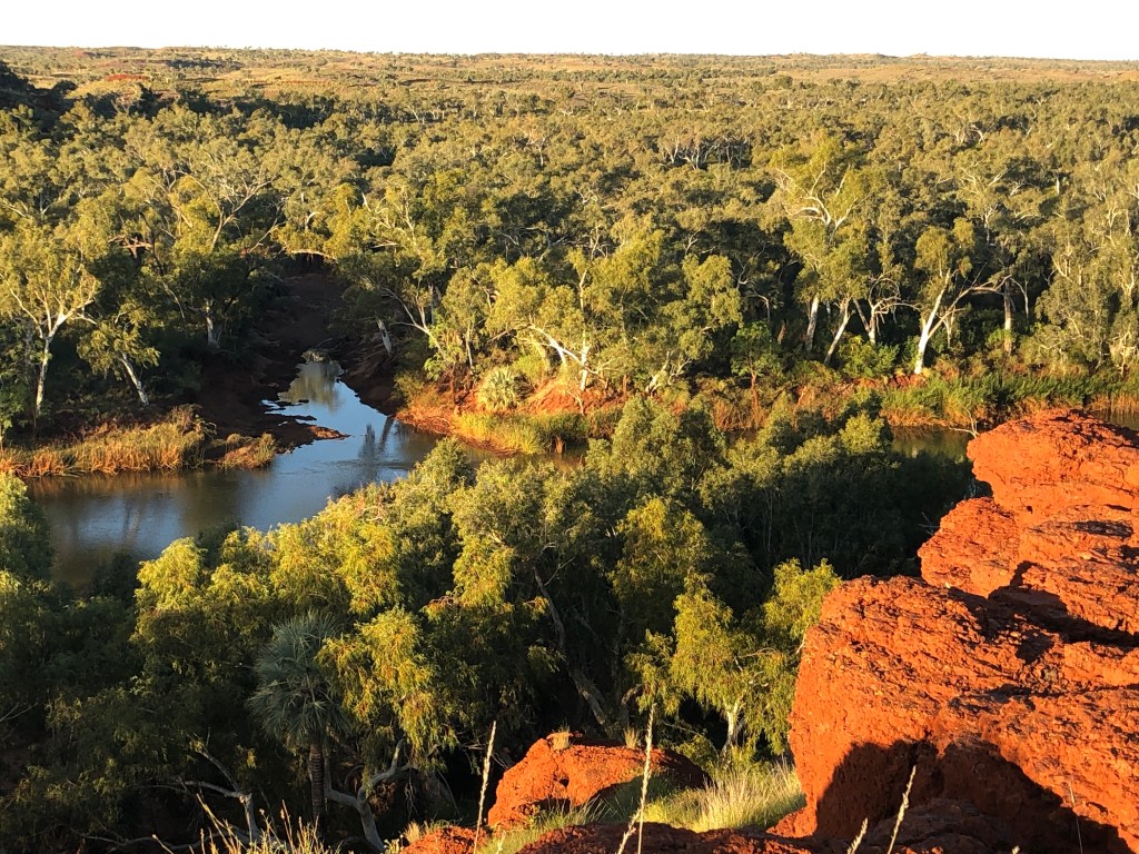
It was then a scenic and interesting drive south and east into the Millstream- Chichester National Park. We set up camp at the lovely Miliyanha Campground and went for a sunset walk. Miliyanha is a beaut spot on the traditional country of the Yindjibarndi people, alongside the Fortescue River . We acknowledge the Yindjibarndi’scustodianship of the land and pay our respects to their elders past, present and emerging.
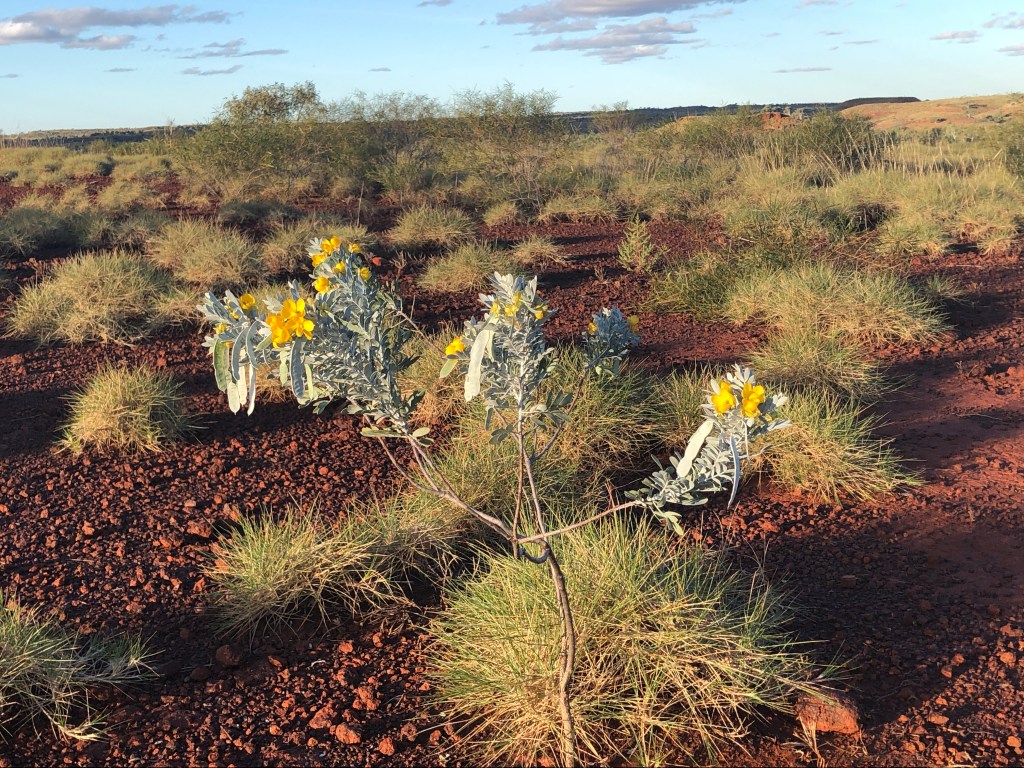
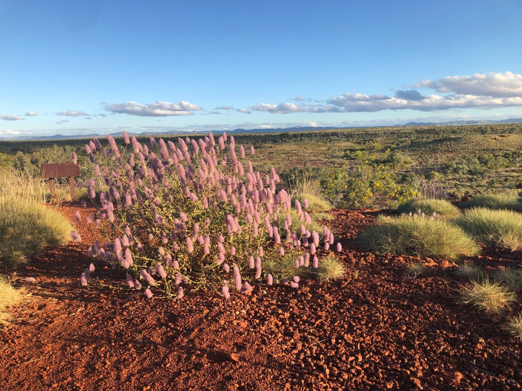
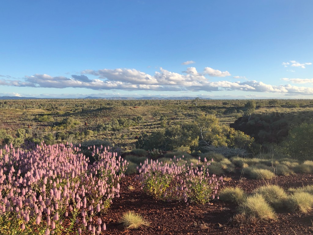
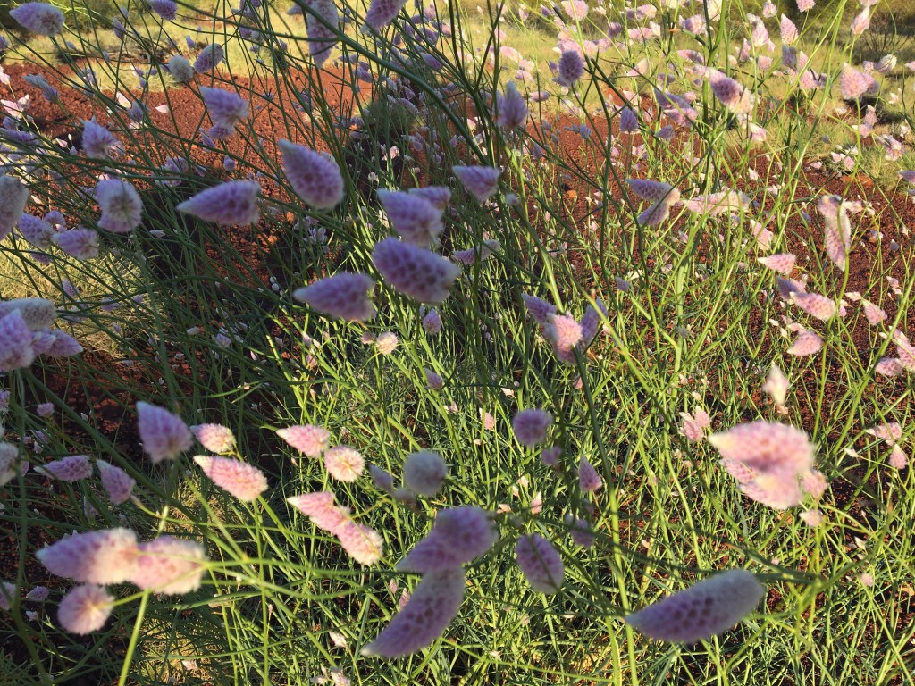
Our campsite at MiliyanhaSunset cliff top walkAmazing wildflowers everywhere View to the South East with the Hammersly Range on the horizon
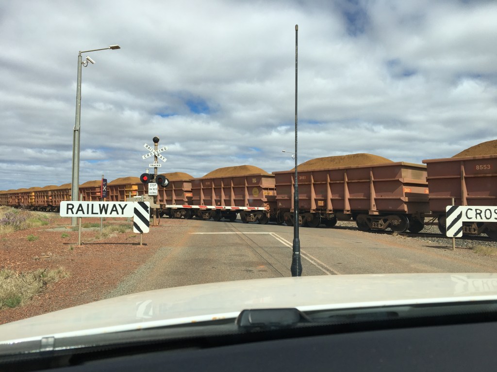
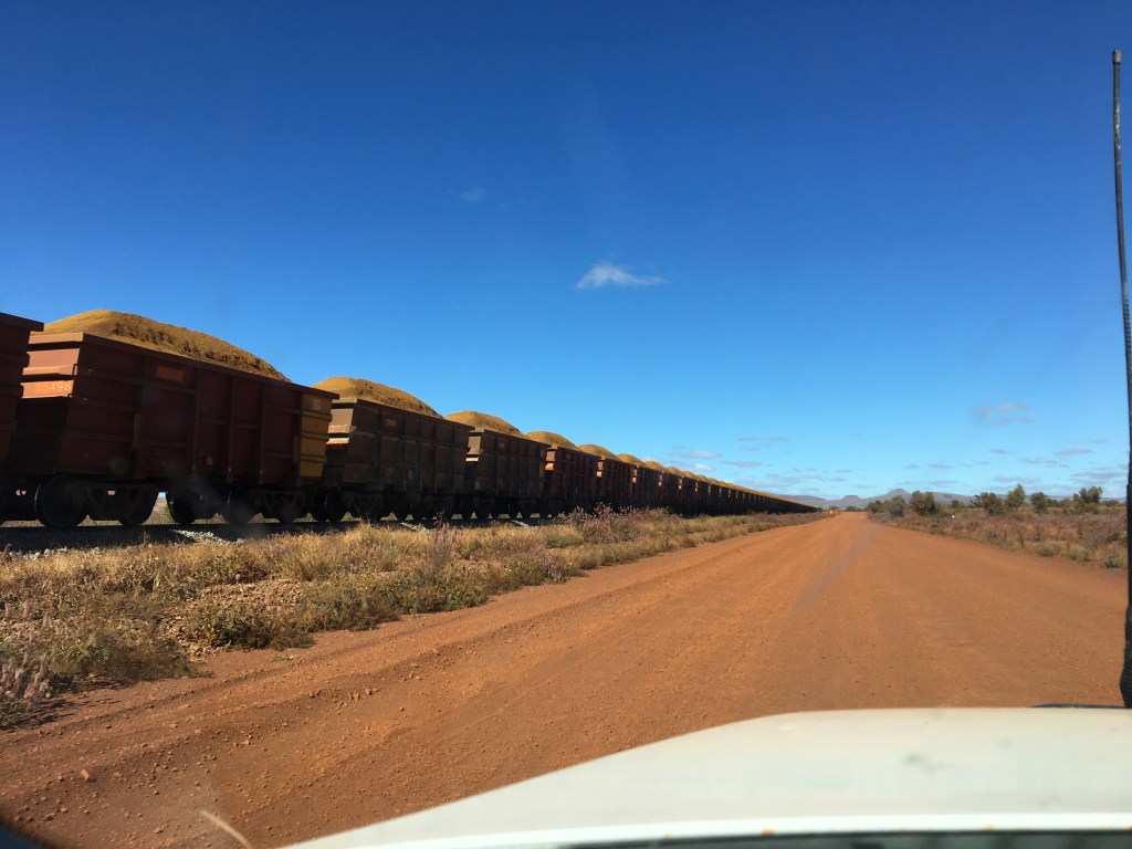
A bit of a sleep in on Wednesday morning ( 7am)… although dawn is also arriving a little later as we have come a fair way further south and west from the last few weeks. Plan was to double back to the northern end of the park , do some walking and then have a dip in the Python Pool waterhole. Plan came unstuck when we reached the Roebourne – Wittenoom road to see a ‘road closed’ sign . A one hour return drive to that point for naught. We did get to see a massive ore train heading from Tom Price to Dampier as we waited nearly 15 minutes for it to pass across the highway. These are seriously long trains!
No Python Pool…. But a seriously long train !
Afternoon spent on a walk along the Fortescue River, then a lovely swim at a place called the ‘Deep Reach’. A late moon rise saw a spectacular star show above our heads at dinner time – the Milky Way out on a great display,
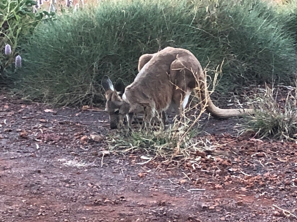
Day 48, Thursday 29 July dawned quite chilly compared to previous days and weeks. We had a Roo with a Joey join us fir breakfast.
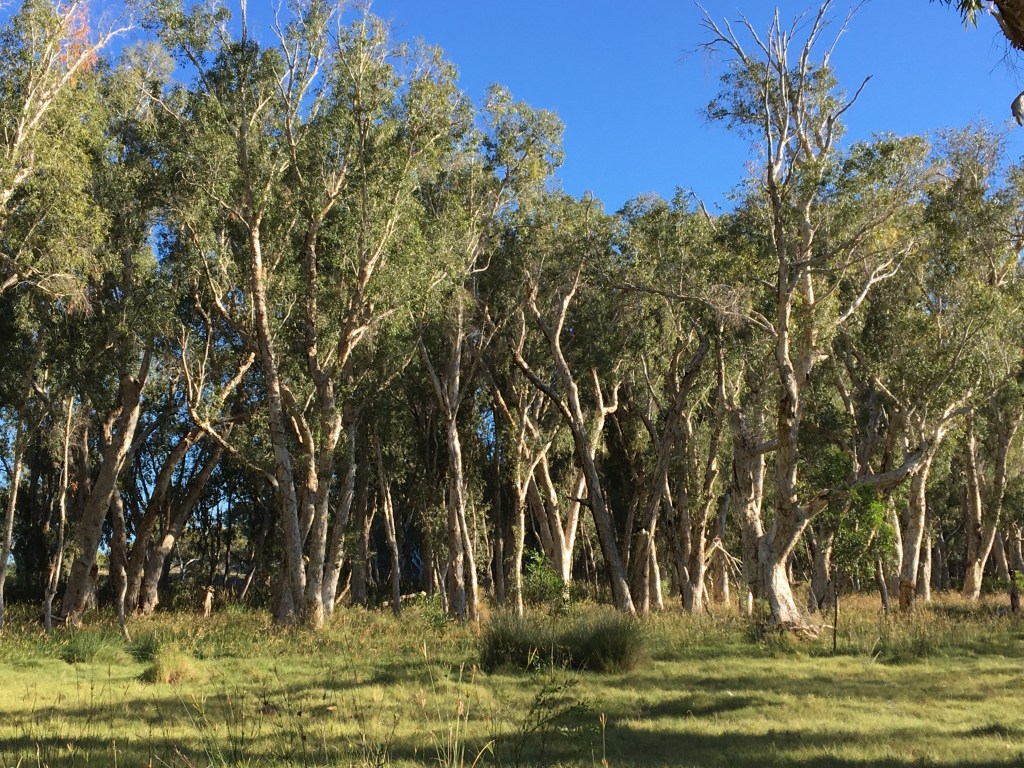
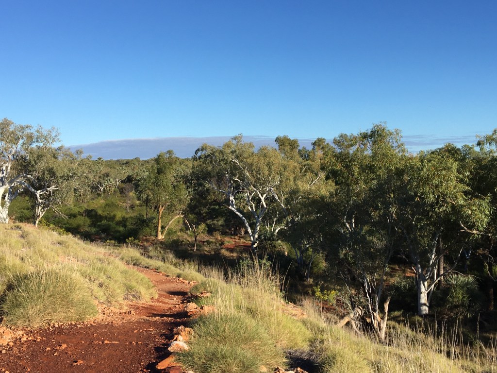
Ness did another lap of the river and wetlands, then it was off towards Tom Price via the Rio Tinto private road
Paperbarks on Ness’ morning walk Morning view over the riverOne of many ore trains on the Rio Tinto private road side to Tom Price
Plan this afternoon is to head out to Karijini National Park … we may not have comma for a few days .
Pleasant and quick drive back down the Peninsula to Broome. We had an early lunch / late breakfast at the Dragonfly cafe in the Chinatown area, followed by an afternoon of admin ( clothes washing and drying). In between admin we lazed in and by the pool.
In the evening we went to see the phenomenon known as the ‘Stairway to the Moon’. This occurs on a few nights during the dry season ( no clouds) if the full moon rising over Roebuck Bay coincides with a suitably low tide. The resultant reflections across the mud flat creates the impression implied by the title. So we joined a few thousand others out front of the Mangrove Hotel to check it out. It was actually pretty cool to see – as described in the guides.
The Stairway
Dinner was a rarity on this trip – takeaway pizza in our Air BnB room while watching Netflix. Nice change from camping!
Today we drive south and west to Karratha. We will ‘bomb up’ for a week in the Pilbara while there and check out the indigenous petroglyphs on the Burrup Peninsula.
Three days spent on Bardi land at the top of the Dampier Peninsula at Cape Leveque. We acknowledge their traditional custodianship of this land and pay our respects to their elders past , present and emerging .
In summary: Red cliffs, white sands, blue water, swimming , more Humpback whales than you can count …and relentless South West then South East Winds.
Coast at KooljamanNess on the obligatory sunset beach walk
We stayed on the ‘cliff top’ site overlooking the western beach. Great views for whale watching, but about 100% too many sites crammed (and cramped) in – and not an ounce of shade. ☀️☀️☀️☀️ The campground confirming the strange phenomenon we have noted: in a continent filled with remote and wild areas, when you get to some places the living density per square metre is higher than downtown Hong Kong . It’s perverse and a bit strange.
Red cliffs and sunset selfie
The number of whales seen were high – big breaches , tail slaps etc . All from our ‘front door’ . No photos unfortunately as the I-phone wasn’t up for it .
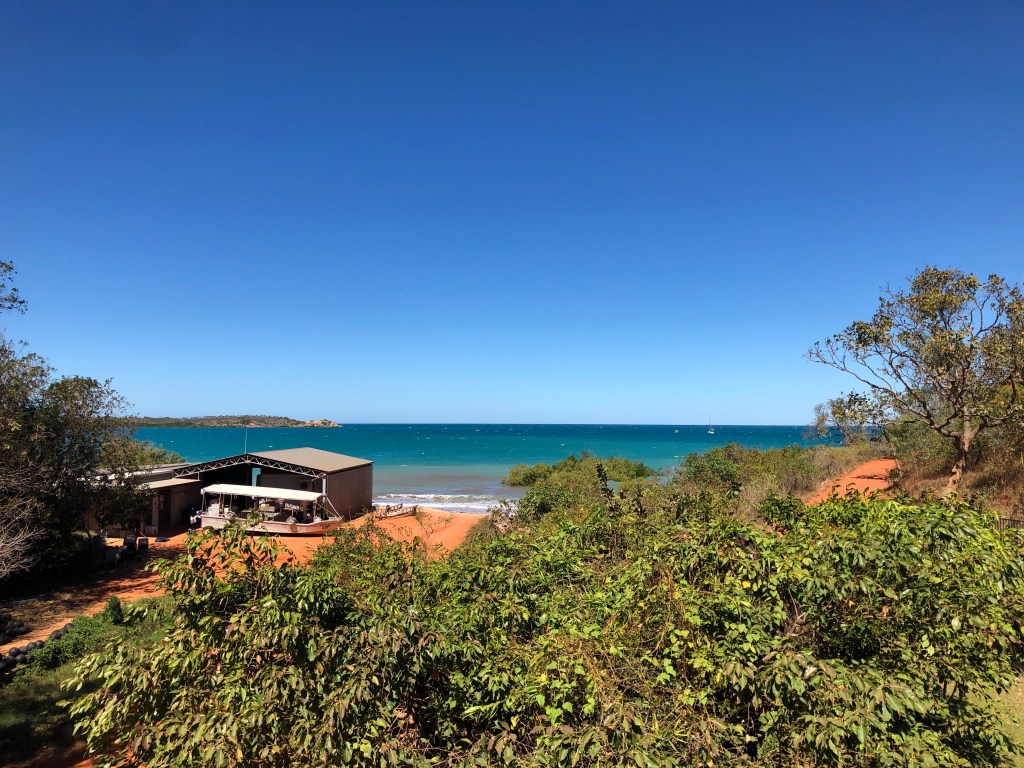
Saturday lunch we ventured out to Cygnet Bay. We had a nice meal on the deck overlooking the bay as a South Easterly whizzed through and past us .
Cygnet BayMoonrise on Friday night
This morning we drove back to Broome. Plan is to try and see the ‘staircase to the Moon’ over Roebuck Bay this evening. Then tomorrow morning up early for a big drive down into the Pilbara.
We left Broome after a gentle pack up and leisurely brunch / coffee downtown ( after obligatory dawn walk on the beach). Humidity was high, as was the dew point , so there was a very damp sea mist hanging over Cable Beach. It burned off by about 8.30am.
Heading into Gnylmarung #1
We were heading for the Dampier Peninsula and a small campsite called Gnylmarung on traditional indigenous lands. They provide a few sites overlooking a beautiful bay as a bit of an enterprise to support the community.
Getting to Gnylmarung #2
The road in is 4WD only , but it’s not too arduous. The destination is brilliant.
View from our campsite Our campsite DuskBeach at Sunset
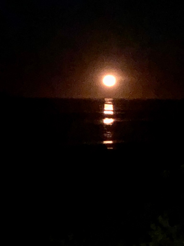
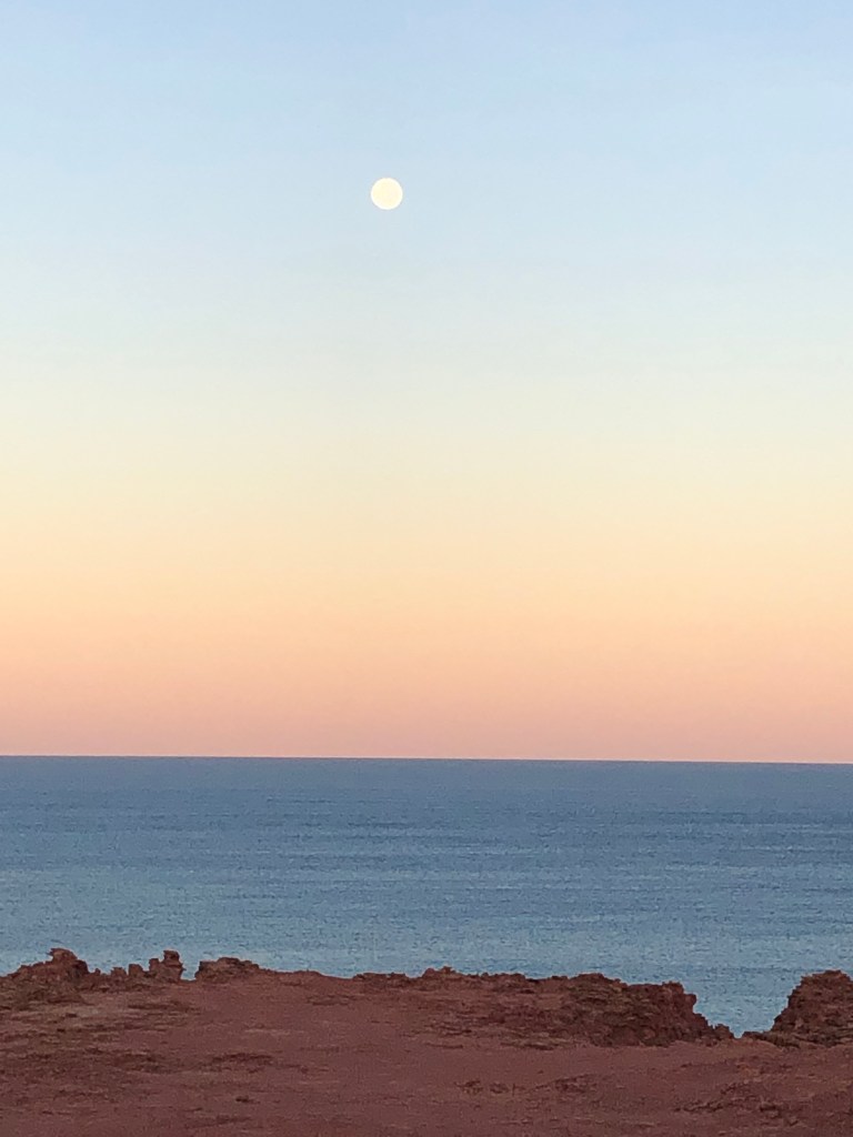
The place has a lot of keen fishing folk who set up for weeks or months. A big shout out to Mel and Glenn from Esperance who gave us a great feed of fresh Red Emperor they had caught that afternoon- legends! We had a great meal of fish tacos for dinner under the nearly full moon.
Sunset #1
After dinner a long walk on the beach , the sunset really lingering. Then a very moon lit walk back.
Sunset #2Moonlight on the Dunes
The downside of the big moon was some attenuation of the star light … high humidity over night saw a very heavy dew and another sea mist in the morning.
Leisurely departure on the morning of Thursday 22nd sees us heading for the northern tip of the peninsula, Cape Leveque, for a few days.
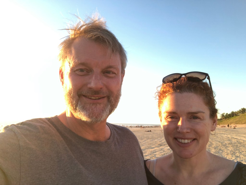
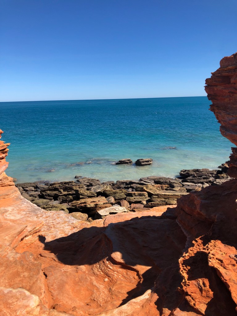
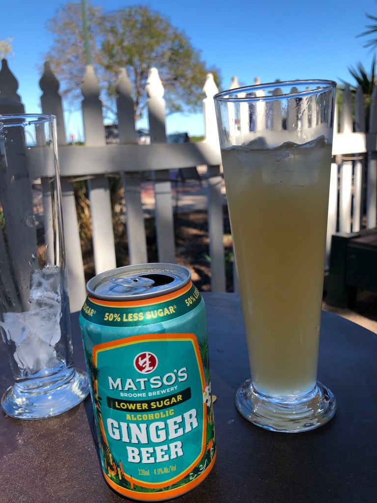
Four days checking out Broome ( takes 5 minutes actually…🙄) then just chilling. Sunset at Cable Beach , walk through ‘old’ (😂 since when is the late 2000’s old?🤔🤔🤔) Chinatown, lunch at Matso’s and a scramble over rocks to totally not see or find dinosaur footprints at Point Gantheaume . Although there was a cool Osprey occupying a nest in the lighthouse structure.
No dinosaur prints were found in the taking of this photo.
Rest of the time spent walking on the beach and lazing in and by a pool .
Cable Beach SunsetCable Beach
A bit stunned by the sheer number of retirees. This isn’t a ‘young people’s choice place ‘. The median age of folks here seems to be at least twenty years older than Mark , and he is no spring chicken!
The weather is superb , which may account for the ‘Florida effect’, but perhaps the Broome juice isn’t worth the squeeze given the costs and sheer logistics of getting here . It’s nice, but crowded.
We are heading north tomorrow for four nights beach camping on the Dampier Peninsula . 🐚
Up early from Kununurra on Tuesday morning for the drive down to Purnululu. Good run on the Northern Highway, still amazed by the number of massive caravans being hauled up and down the Highway. Quick re-fuel at Warmun , then shortly after we were heading east on the Purnululu access road. We had been told it was a bit rugged- that was an understatement, it was as rough as all get-out.
Minor drama about half way in- there was a loud thud as we exited a steep Creek crossing and the car felt anchored. Turns out it was- by Bernie. We had lost both the split pin holding the pin holding the tow ball yoke , and the actual yoke pin. The safety chains had done their job and held, but the trailer frame had done a bit of plowing.😳. Bugger. We never found the pin(s), Nessie even spent some time wading in the Creek looking for them ….Possibly an excuse to cool off 😉.
So, we chock the wheels, get the jack and jack up the trailer arm, fix the jockey wheel in place and assess. Turns out we were in a ok -ish situation. Everything muddy, but still apparently intact. Just no pin. As we were assessing the merits of using a D- Shackle , Lucas turns up on his way out of the park and offers large bolt and nut which will do the job. Legend. Then Peter and Simone turn up with a spare pin. Double legends. We were on the way again within 30 minutes of the incident. Thanks to the team who offered help!😀
Sunset from the ridge west of Kurrajong
Into the park proper- Tuesday and Wednesday night we camped under the trees at the Kurrajong Campground. Sunset view through to the main range to the east at sunset was worth the price of admission alone.
Sunset view and a pair of posersSunset view #2Sunset #3
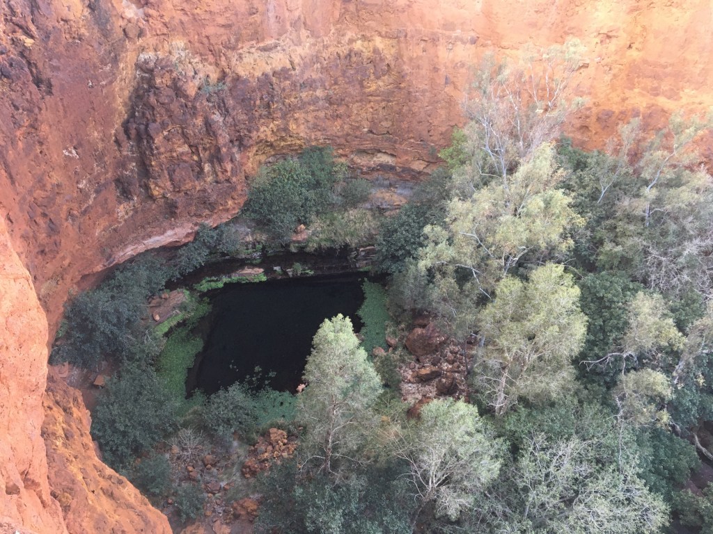
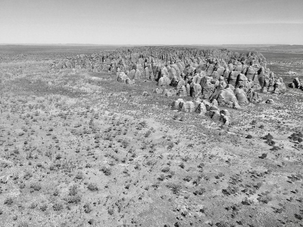
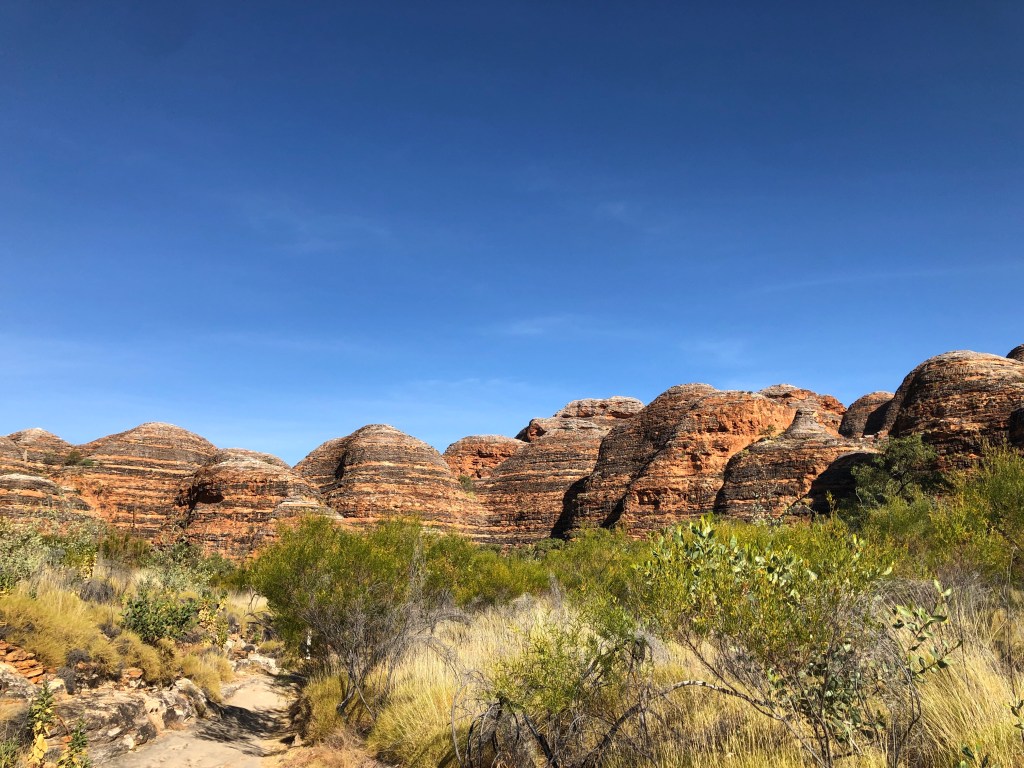
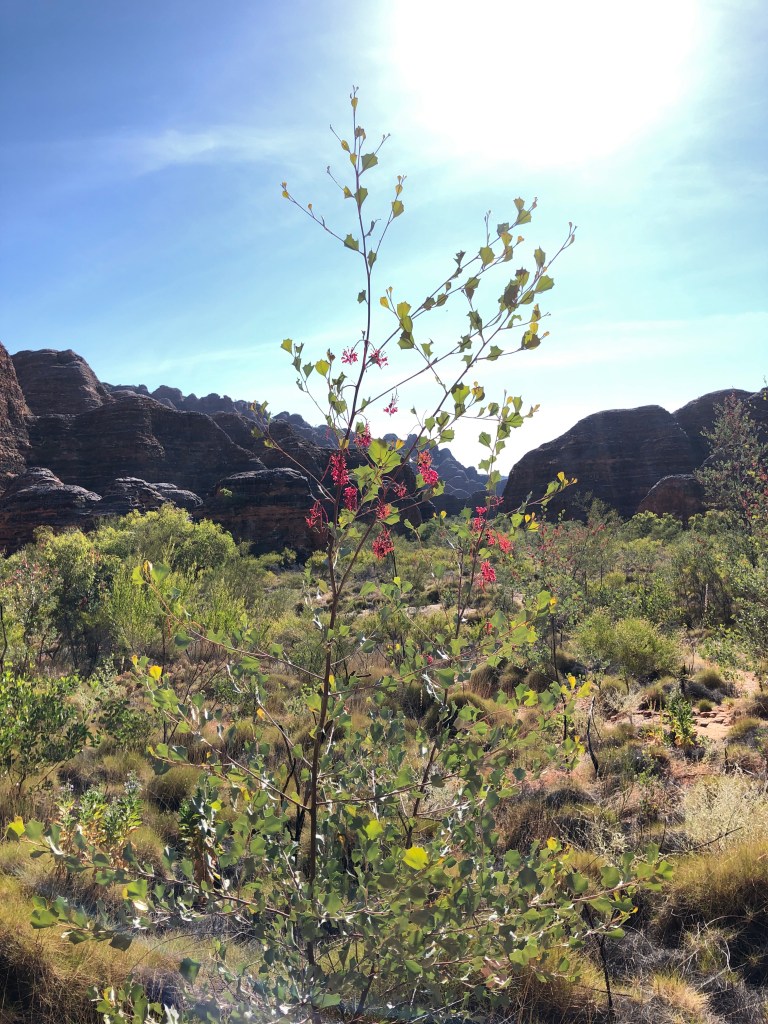
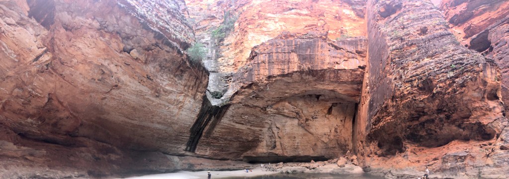
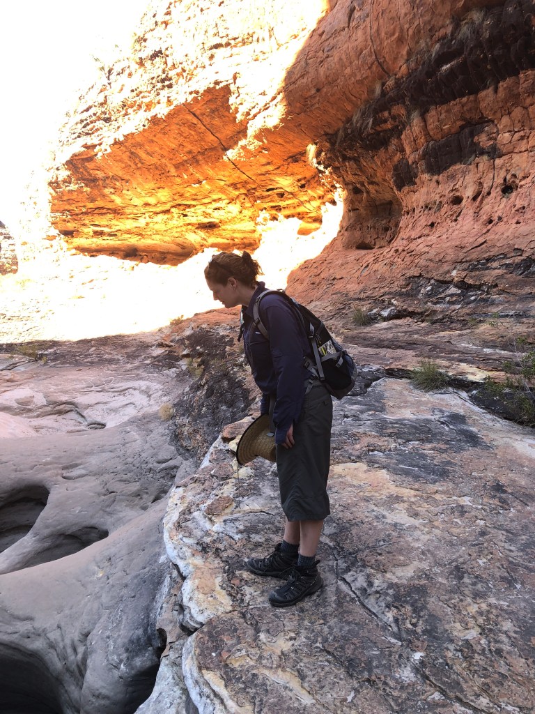
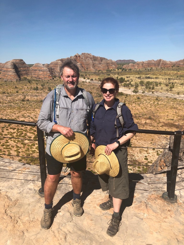
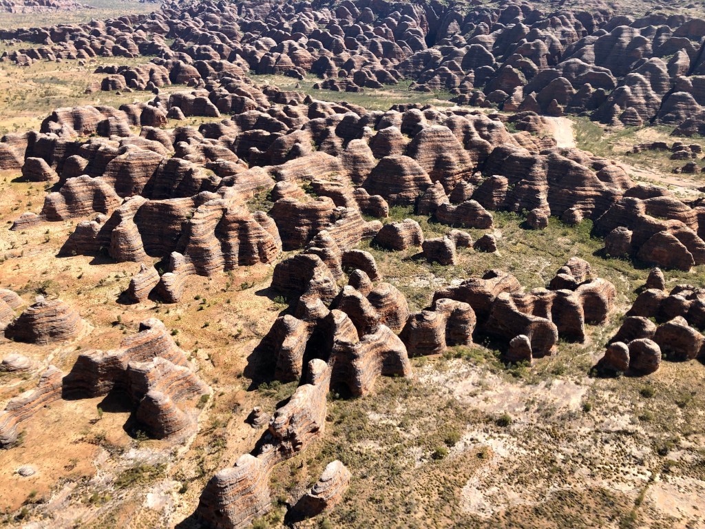
Up at sparrow’s on Wednesday,coffee and a dingo’s breakfast and heading south to the Domes. We did the Dome’s walk , Cathedral Gorge walk and then out to the Picinninny Lookout by around 1030 , before it got too hot. Spectacular.
Domes walkDomes #2Inside Cathedral GorgeNess checking out the spectacular erosion inside the Gorge Picinninny Lookout
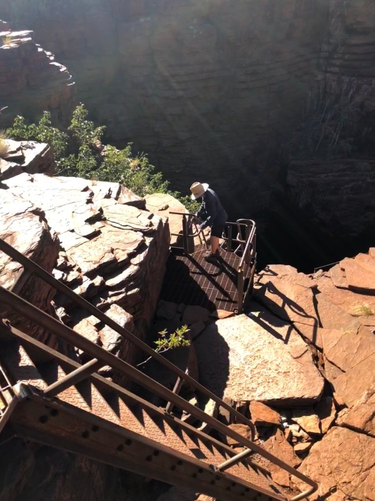
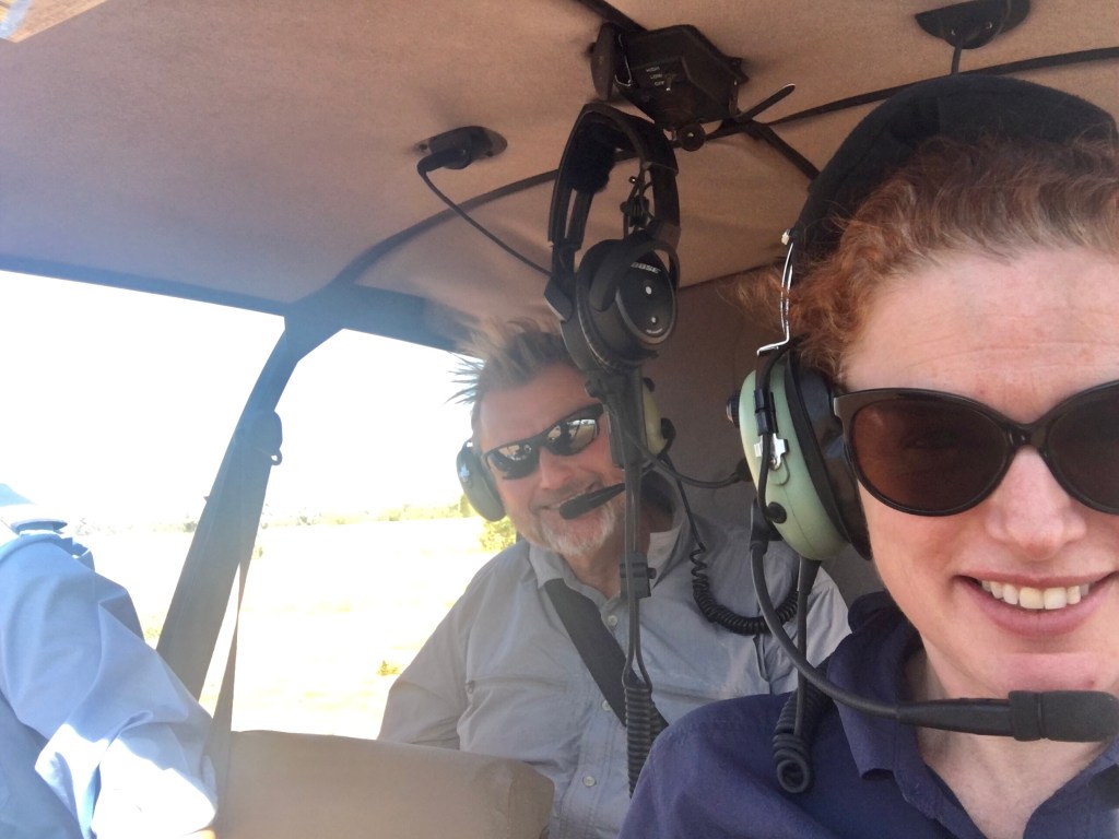
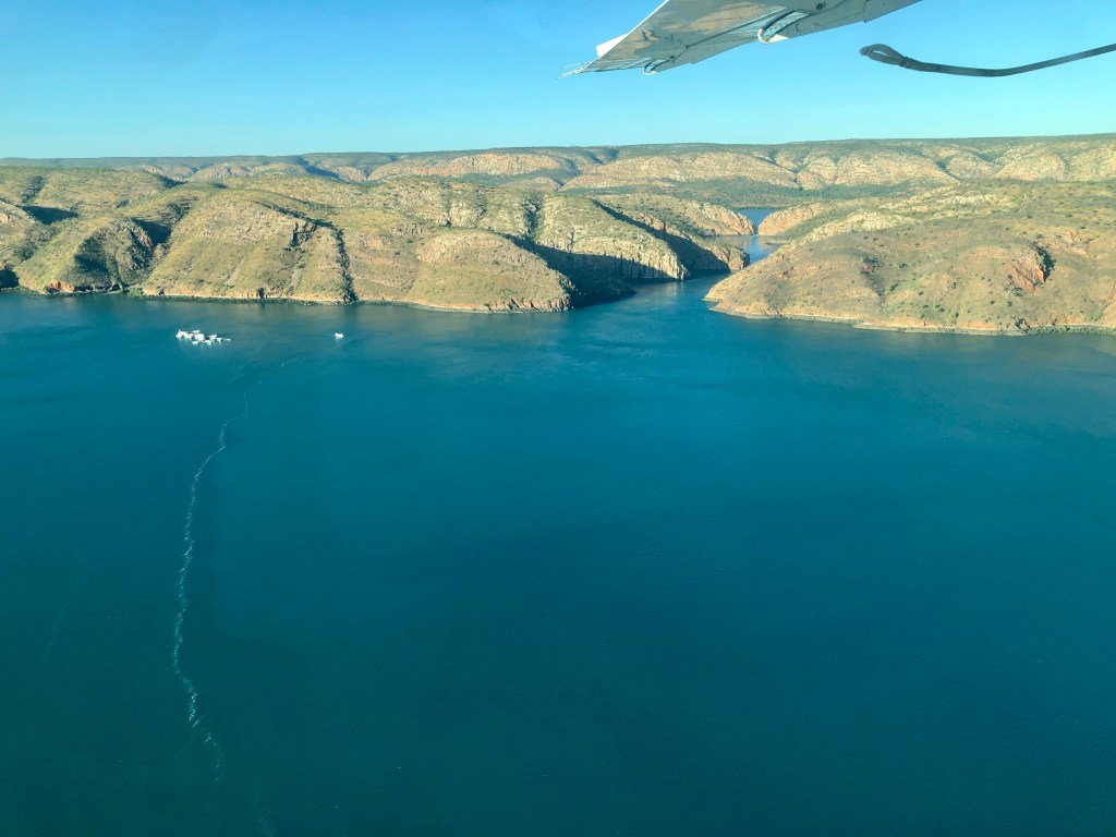
Midday and we took a Helispirit Helo trip over the Domes and Picinninny Gorge. Great – and worth doing as it offered a perspective that you couldn’t determine from ground level.
Back seat drivers🙄
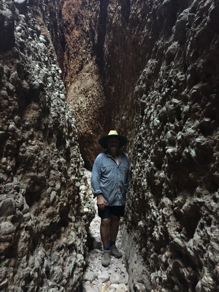
Back to warm lissitude during the heat of the day, then a really good walk into the depths of Echidna Chasm just before the he sunset
Up early Thursday for the long drive out of the park and even longer drive to Derby. Bottom line up front – Purnululu is spectacular and should be on everyone’s bucket list . We wish we had longer , but grateful we still got there despite the border closure.
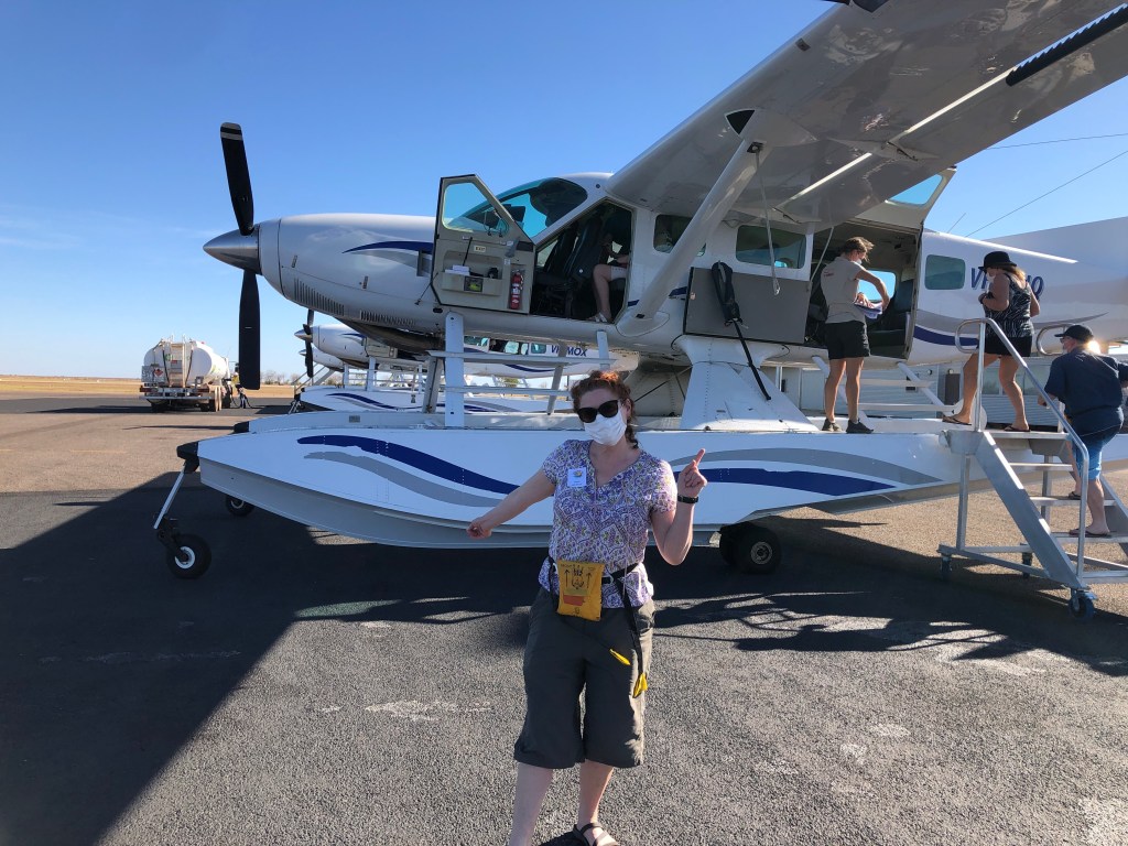
Friday morning spent doing some admin around camp then it was to the lock up for the Amarok and Bernie, and the Derby airport for us. We were heading to an overnight stop on a pontoon/ houseboat in Talbot Bay with ‘Horizontal Falls Seaplane Adventures’
Getting ready to board the Cessna Caravan Seaplane
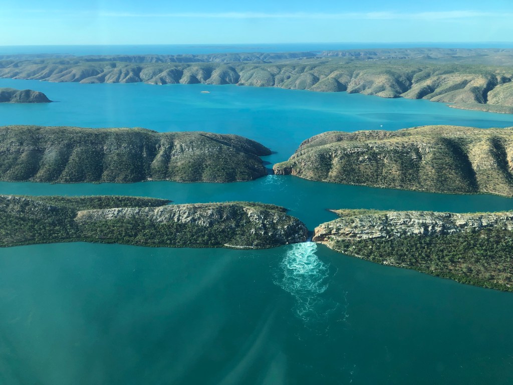
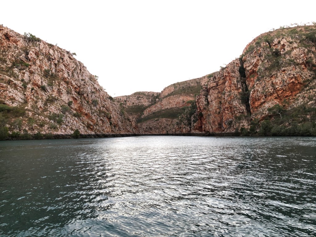
The ‘Horizontal Waterfalls’ essentially occur because of the massive tidal range in Australia’s north west / The Kimberley and two large cracks between the ranges adjacent to Talbot Bay which allow impounded water to flow between them on the various tides ( except neap tides , of course🙄). The local indigenous people , call the place ‘Lalang-garram’. We acknowledge the Dambimangari people as the traditional custodians of this special place and offer respect to their elders, past, present and emerging.
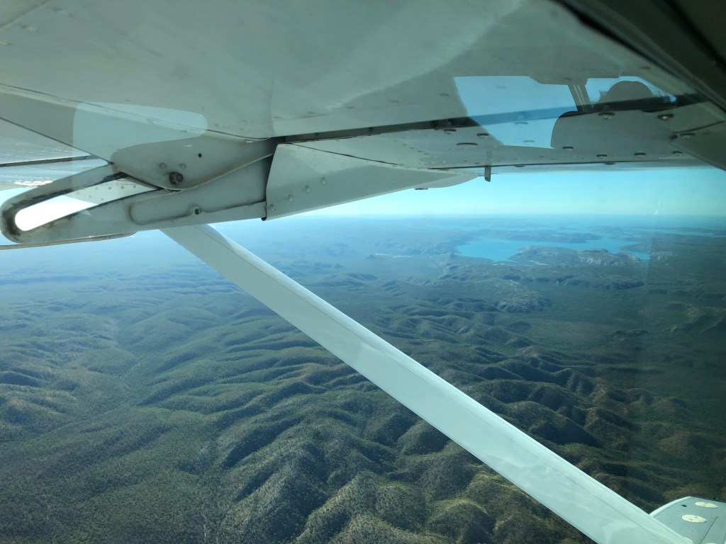
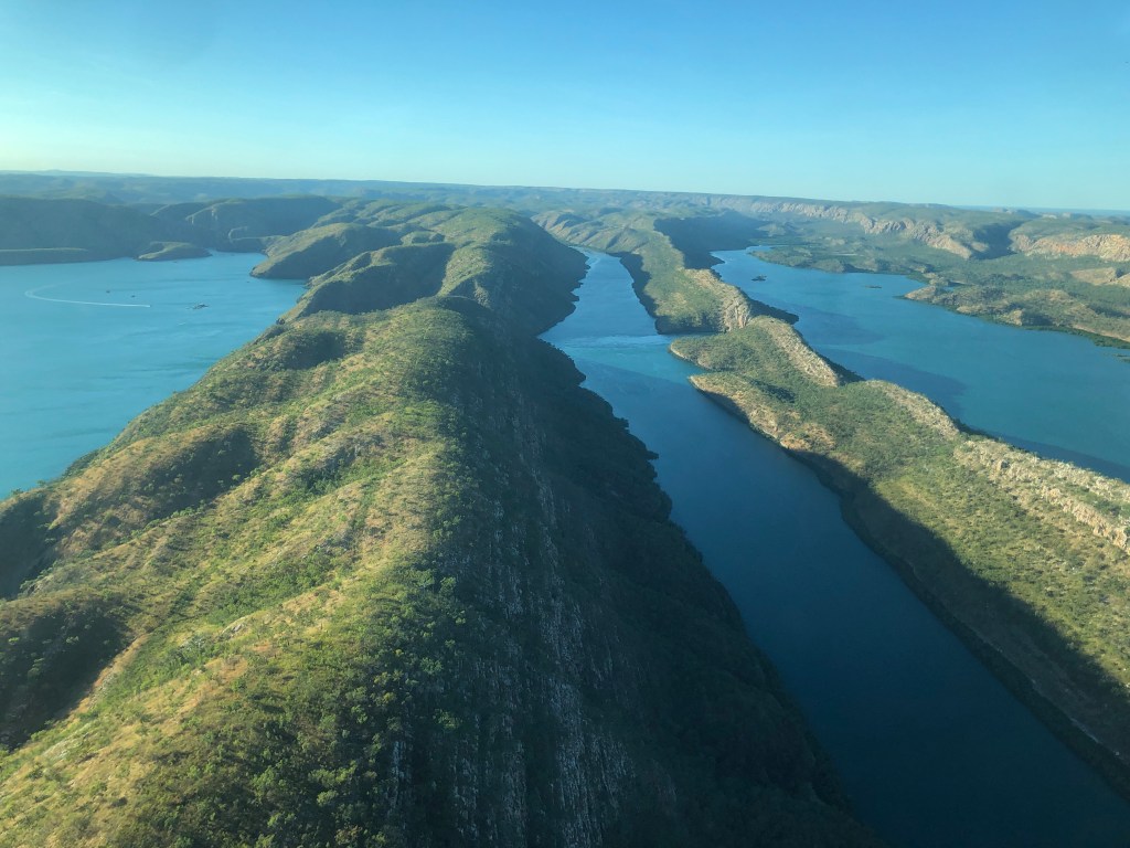
Flying North / Northeast to Talbot Bay
Typical vista over Yampi Sound Military Training area ( enroute)
The flight up took around 35 minutes, the scenery was amazing . Landing on the ocean in a seaplane was also a first for both of us.
On approach to Talbot Bay
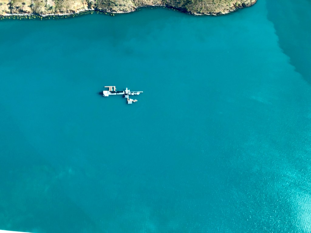
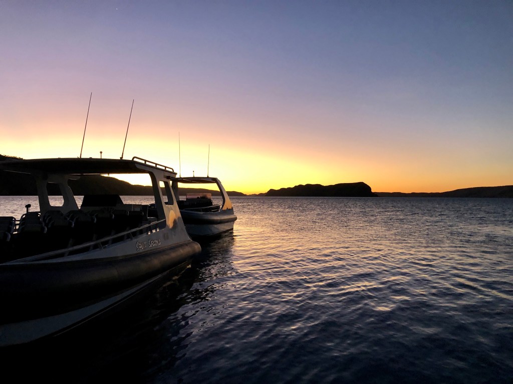
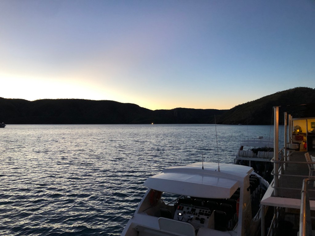
The setup in Talbot Bay was sweet. Nice cabins , big interlinked pontoons, aircraft and boat moorings and few chopper pads.
The ‘houseboat’ on our downwind circuit
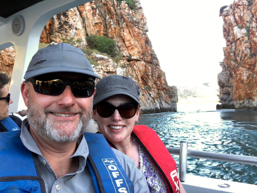
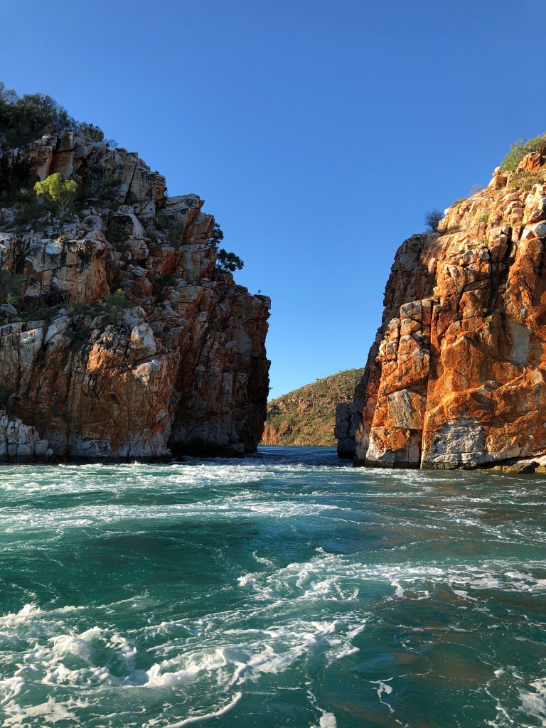
Soon after arriving , safety briefs and dropping bags, it was onto a jet boat for a run through the falls. There are two – one is about 12 metres wide , the other is narrower at 7.5 metres. The former wasn’t doing a great deal, but the smaller one started pumping while we where there. Apparently it rises / drops around an inch a minute , leaving not much time before it can become to hairy to safely navigate. It was spectacular, not sure the images we captured truly do the sight and experience justice.
On the jet boat Approaching the 7.5 m gapGoing through
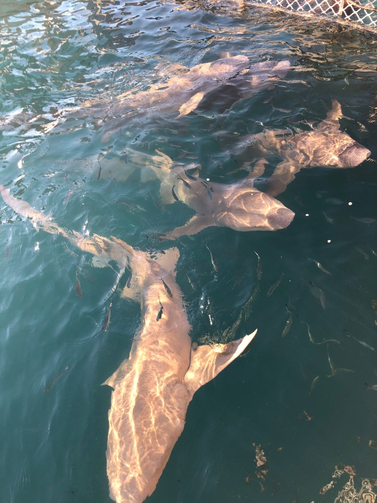
After several exhilarating runs through the gap ( and getting soaked in jet boat hijinks 😀) it as back to the houseboat. They were feeding dusk nurse sharks when we got back, that ‘fun’ stopped when a bull shark turned up…. Apparently they don’t want to associate food with human activity…( hmmm… no swimming off the pontoon!)
Dusky Nurses
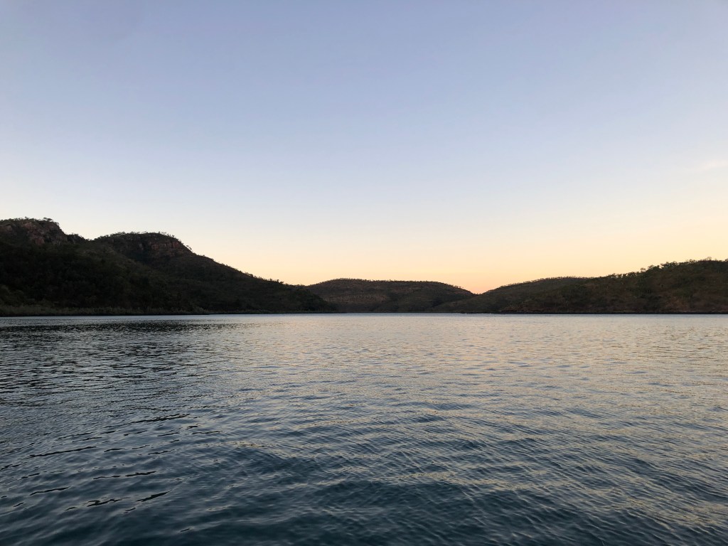
Then it was time for a quick sunset trip up ‘Cyclone Creek’ prior to a dinner of BBQ Barra on the top deck of the pontoon.
Sunset boat tripCyclone CreekSunset at the Pontoon
After a good night it was up early for brekkie and another run through the falls on the jet boat.
Dawn in Talbot Bay
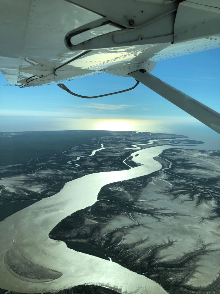
Then it was back onto the Seaplane for a different route back into Derby over Cone Bay, then tracking down King Sound.
Morning departure Looking south at the falls gaps on the climb out of Talbot Bay
We were back into Derby in time for second breakfast and coffee. We then drove to Yawaru country to spend a few nights in Broome.


You must be logged in to post a comment.