Saturday 24 – Thursday 29 January
Saturday morning saw our driver, Miguel C, arrive at 10:30 for the approximately 2 hour-ish drive to Tulum on the Caribbean coast. A smooth ride followed through the now ‘standard’ boring Yucatan roadside low jungle scenery.
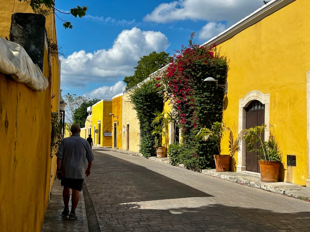
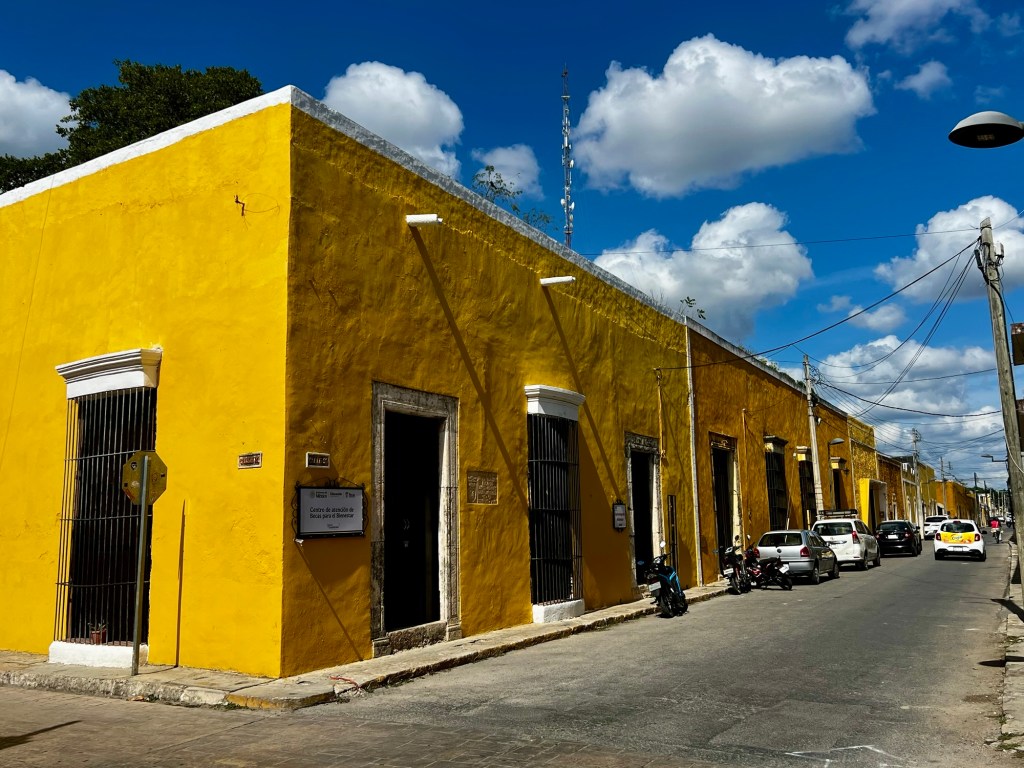
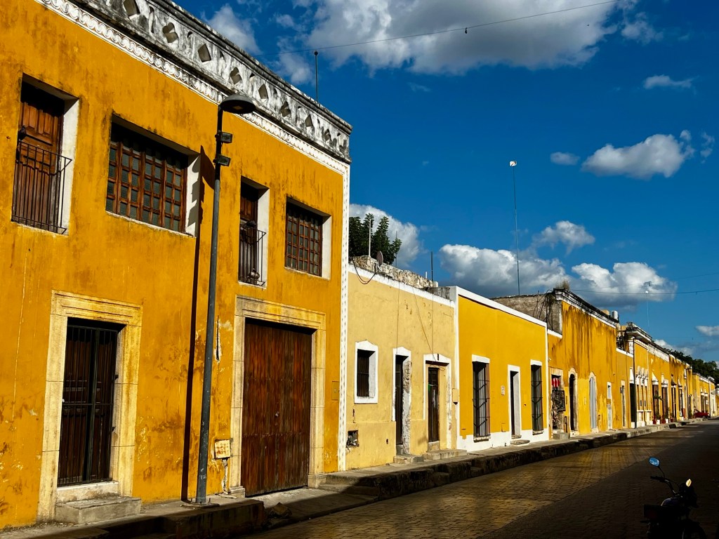
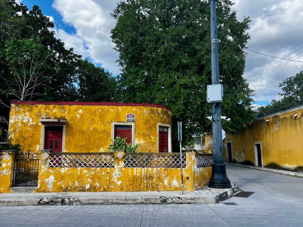
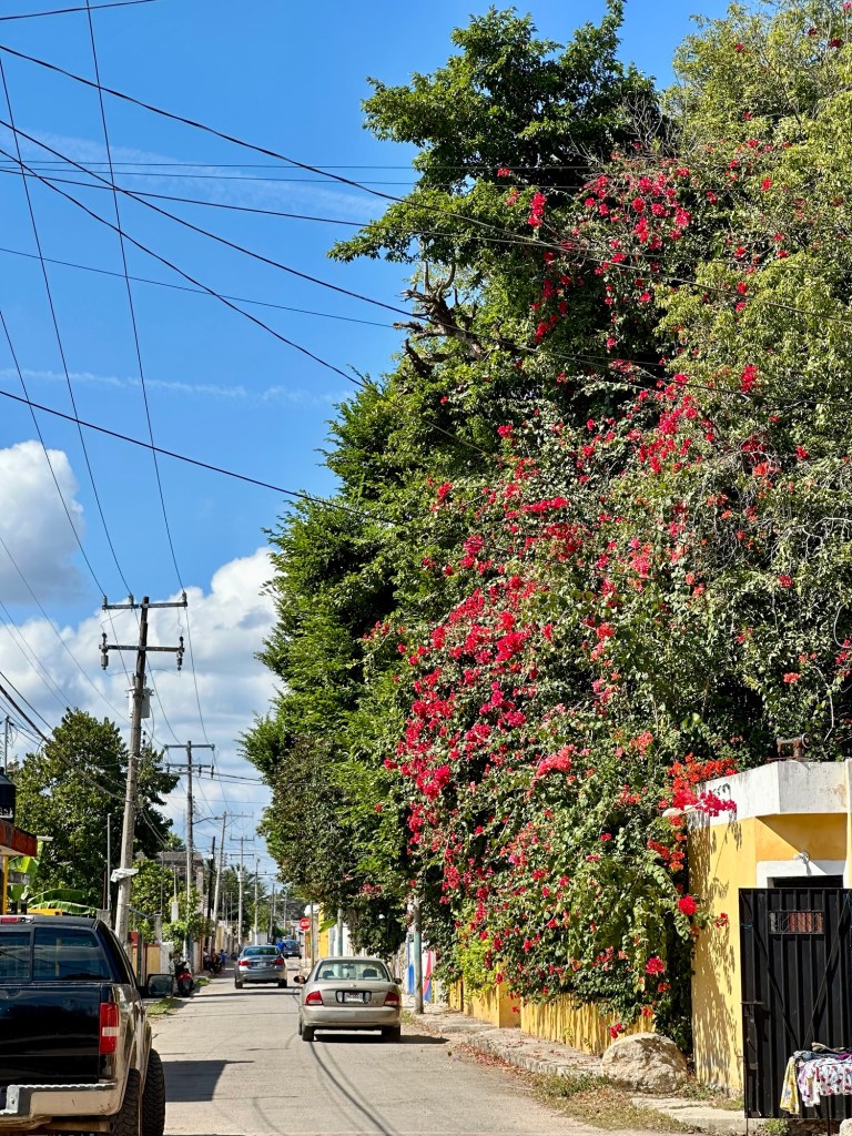
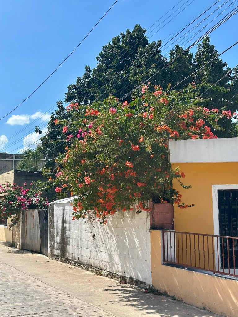
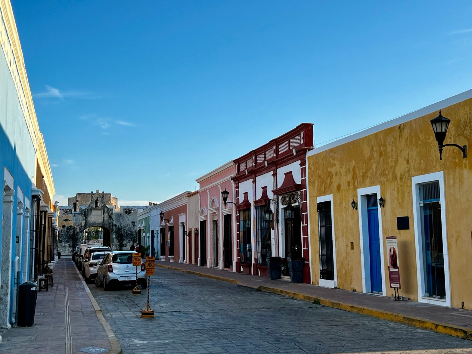
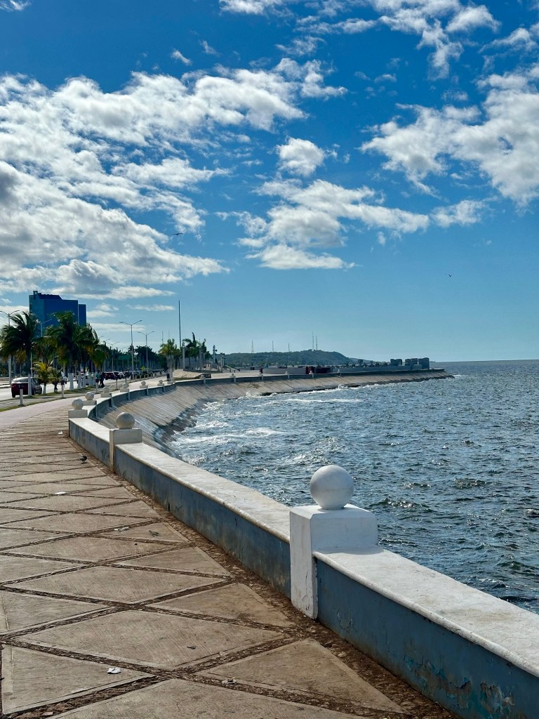
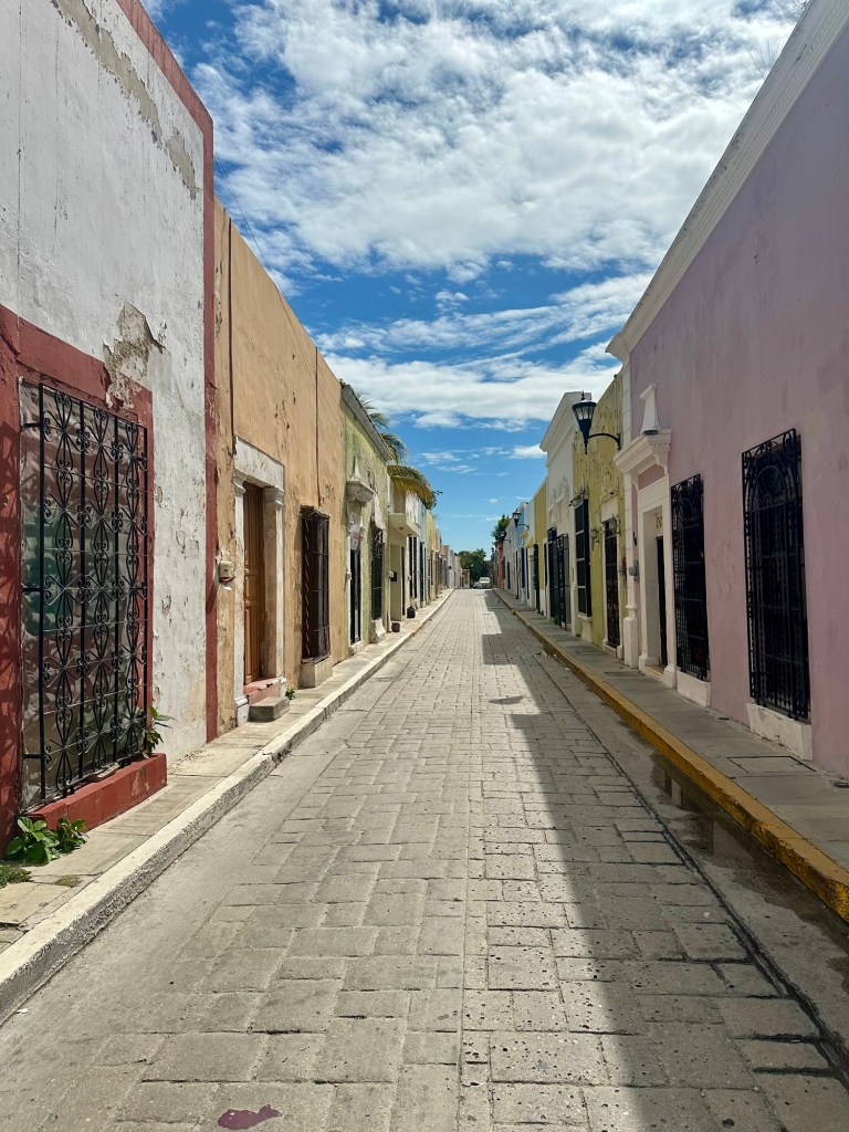
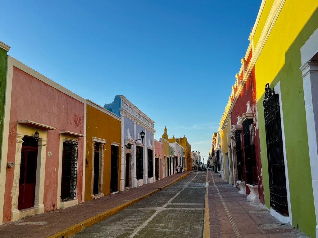
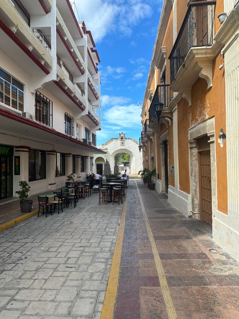
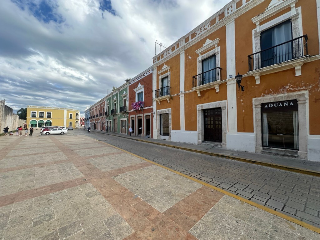
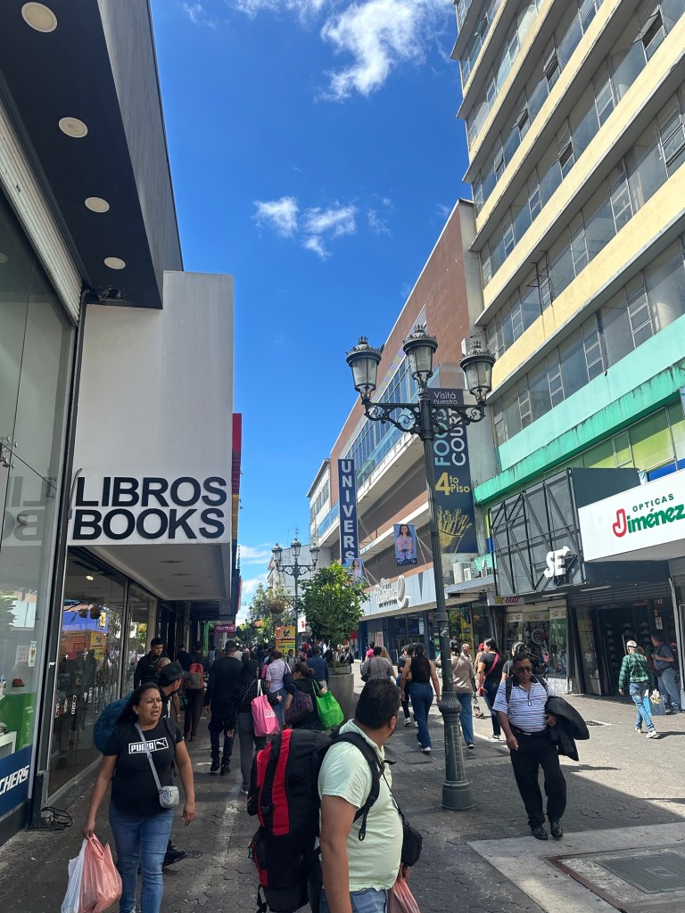
‘Modern’ Tulum didn’t exist 30 years ago. It has been developed simply to support the tourist industry along the coast that runs from the North East corner of the Yucatan at Cancun all the way down the Si’an Kaan Biosphere adjacent to near the border with Belize. As such the town does not have the Spanish colonial vibe most of the rest of Mexico we have seen does. If you had to pick a vibe it would be ‘shithouse Sadr City concrete houses on a grid’ meets the 1980s gritty back streets of Surfers Paradise….
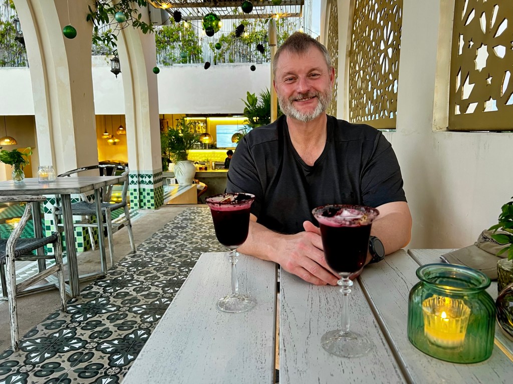
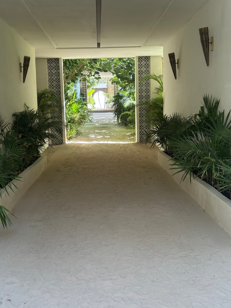
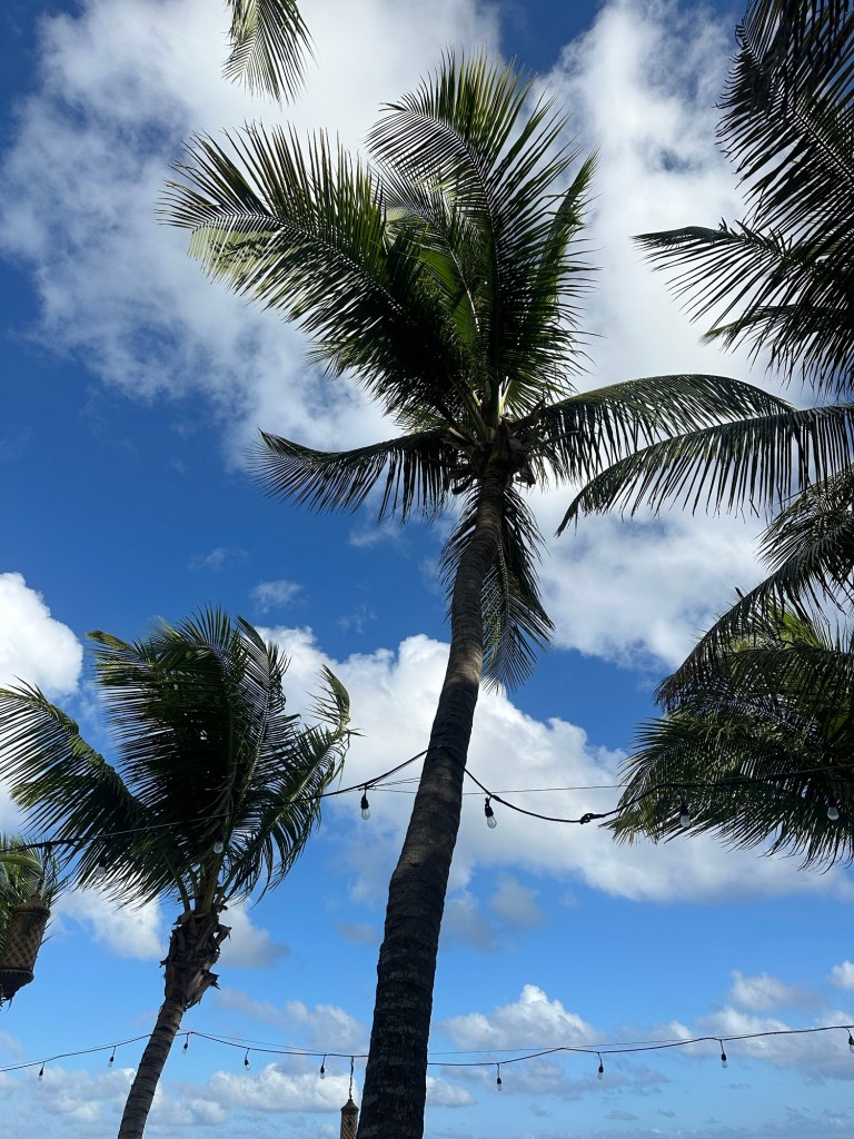
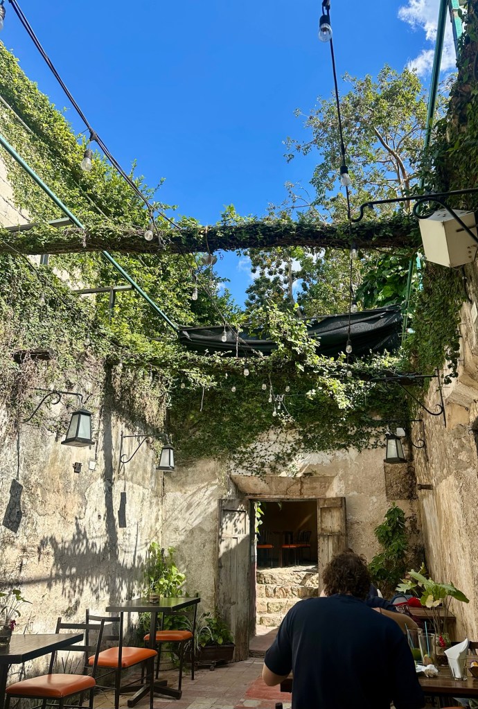
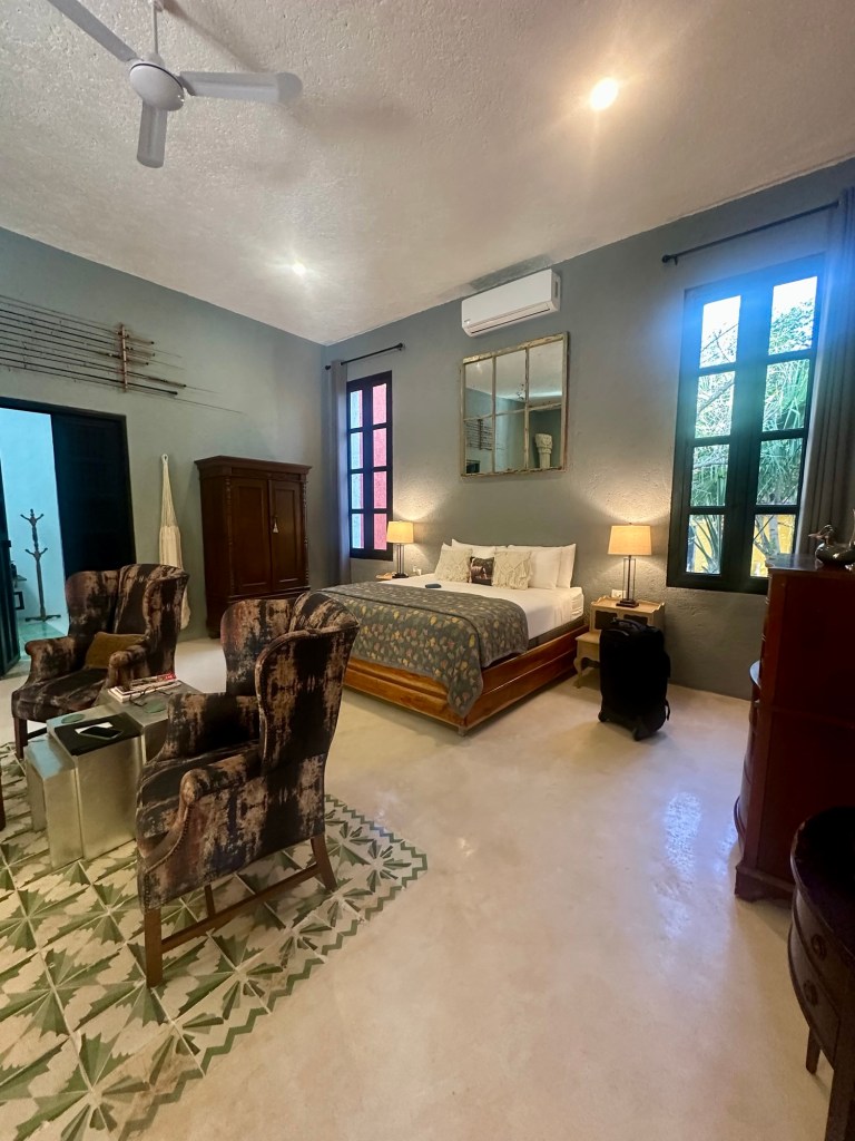
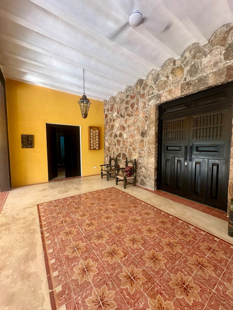
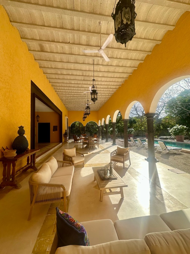
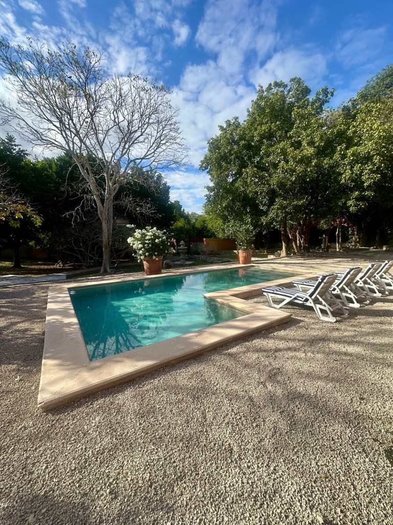
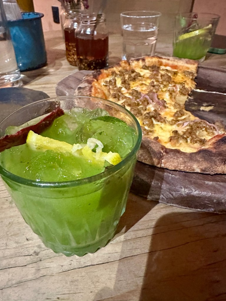
That said, our hotel was a nice boutique place with a lovely roof top pool, and a killer cocktail happy hour.
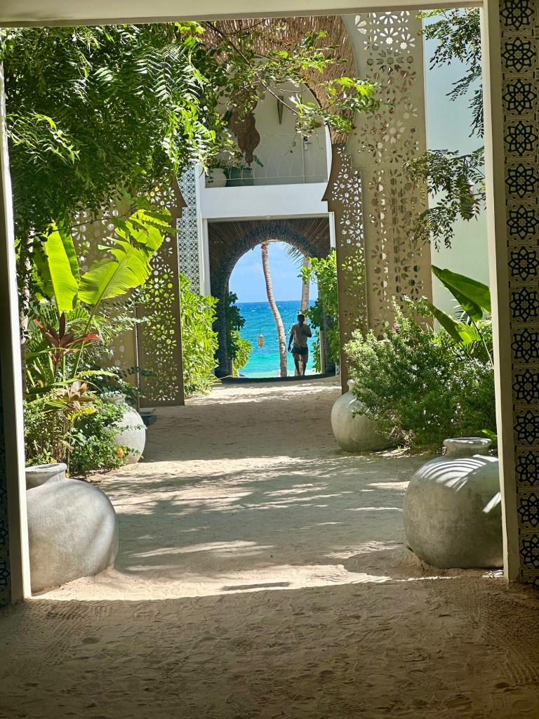
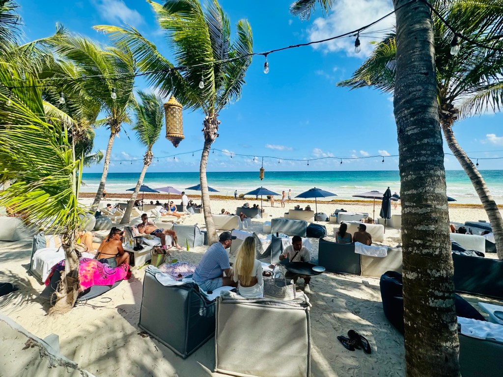
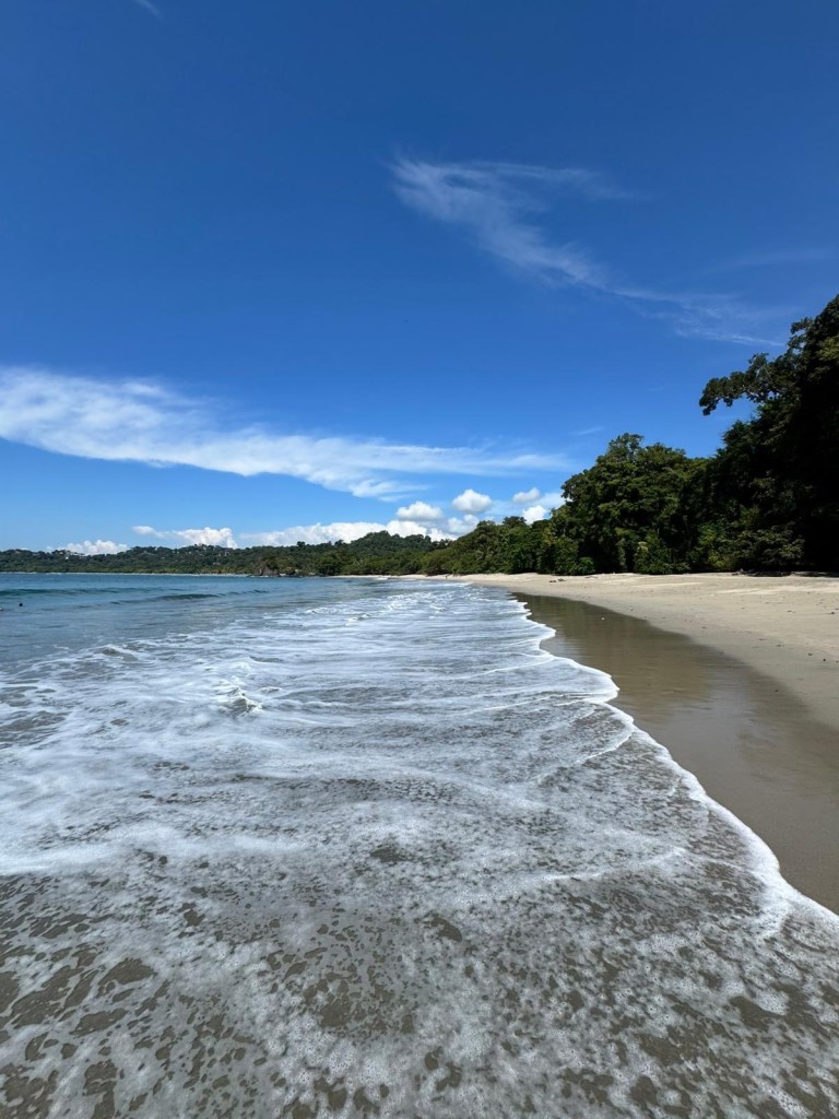
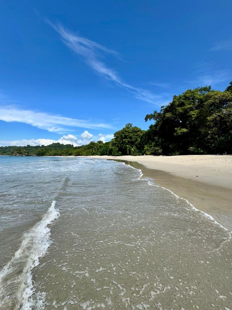
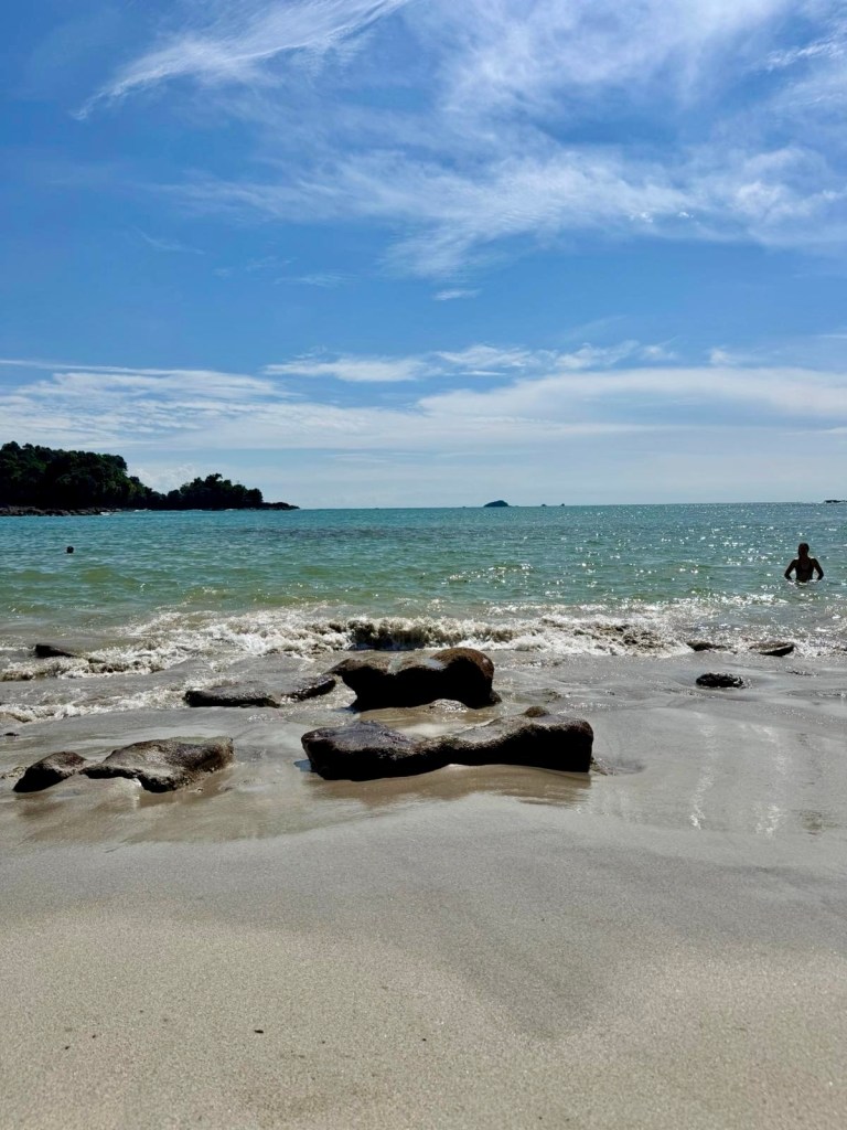
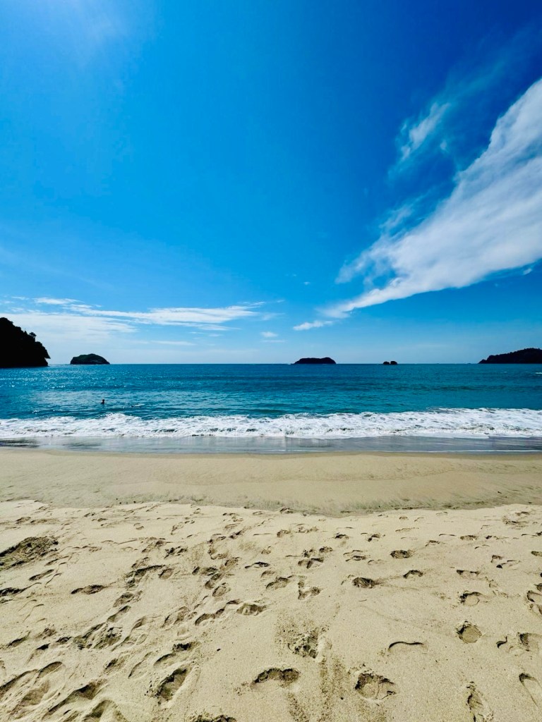
Saturday afternoon was spent doing a walk around ‘downtown’, then hanging by the pool. Sunday was spent at our ‘sister’ hotel’s beach club on the coast. This became a fascinating observation on weird beach behaviour and preening.
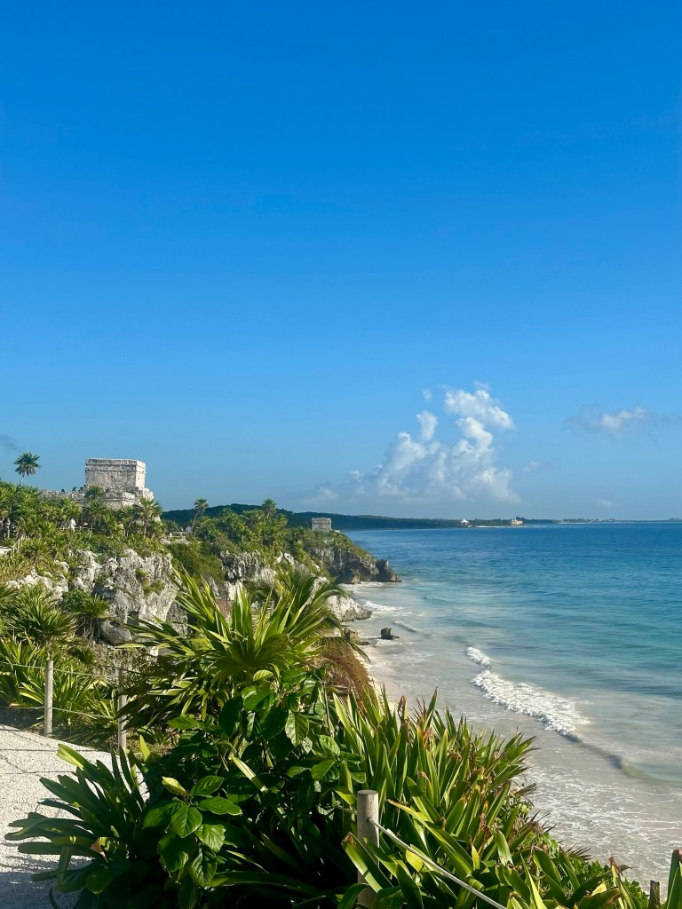
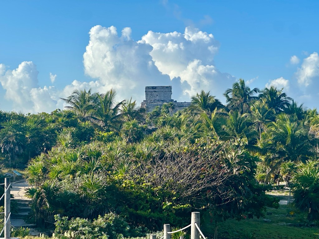
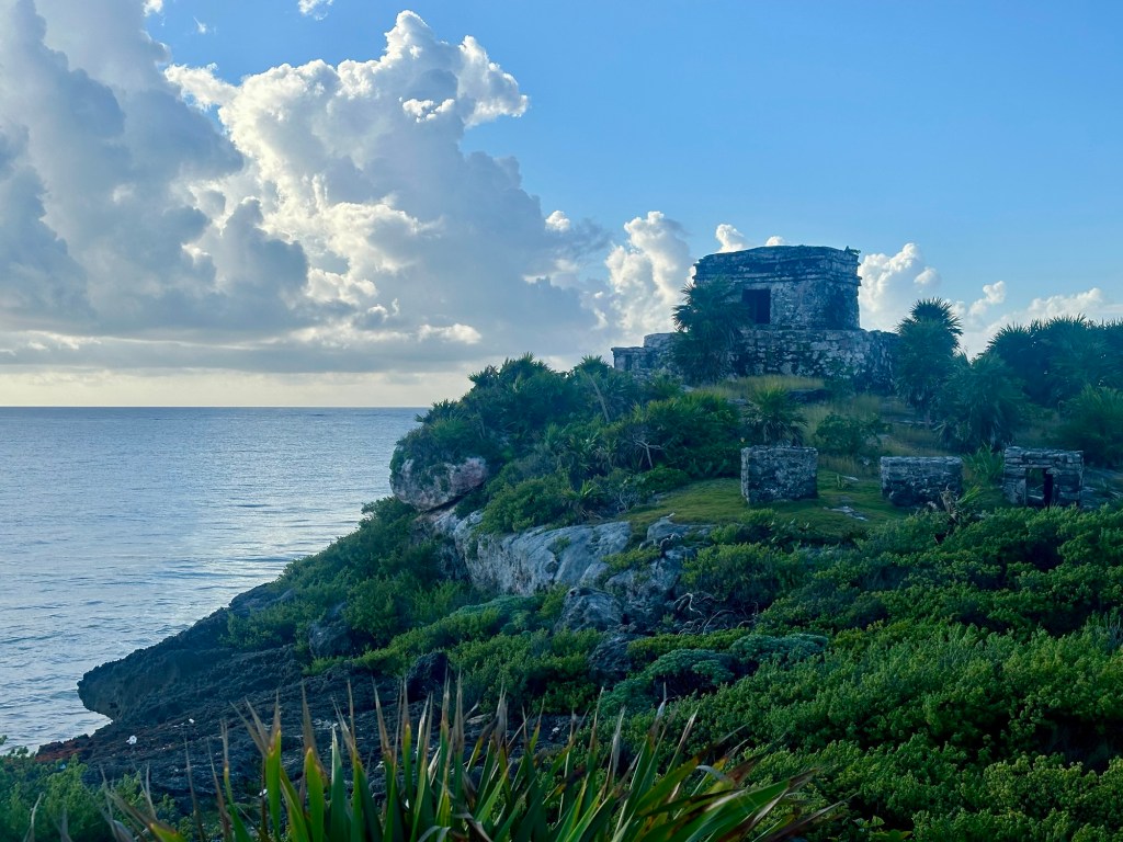
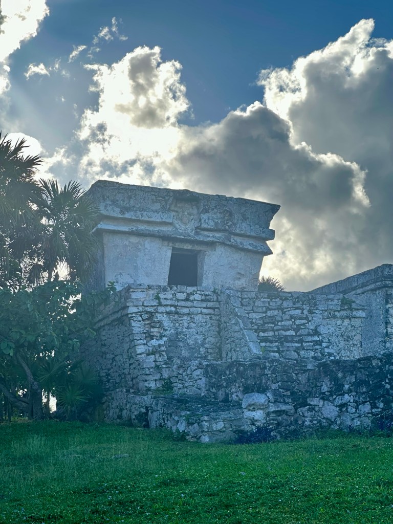
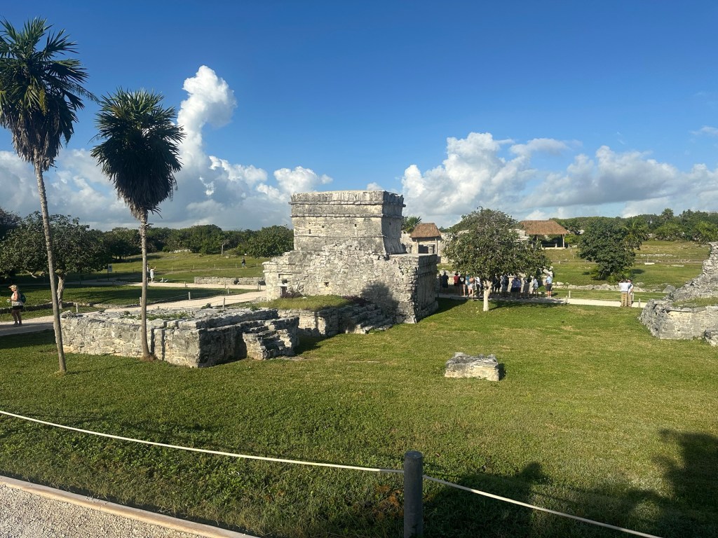
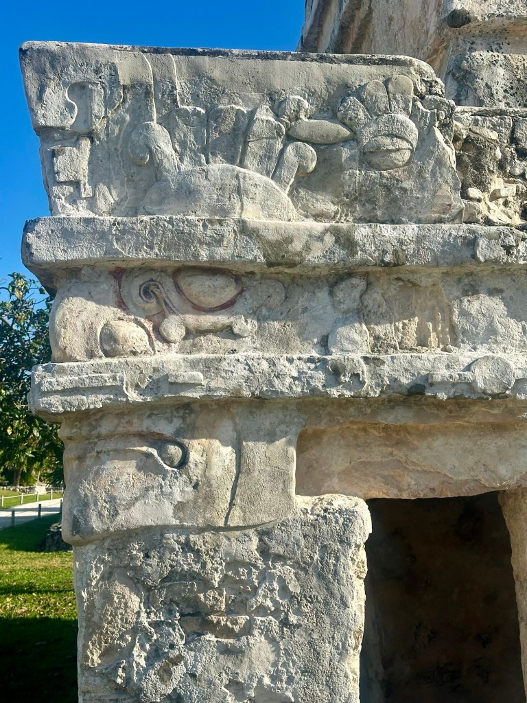
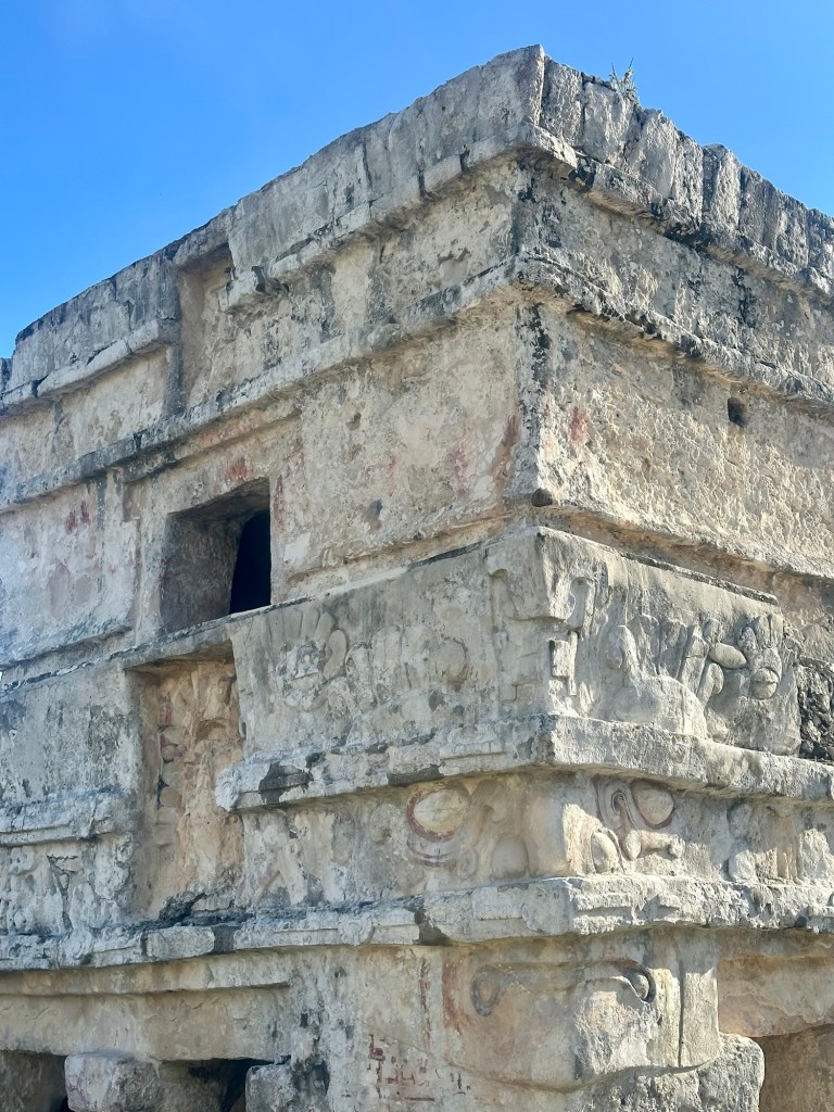
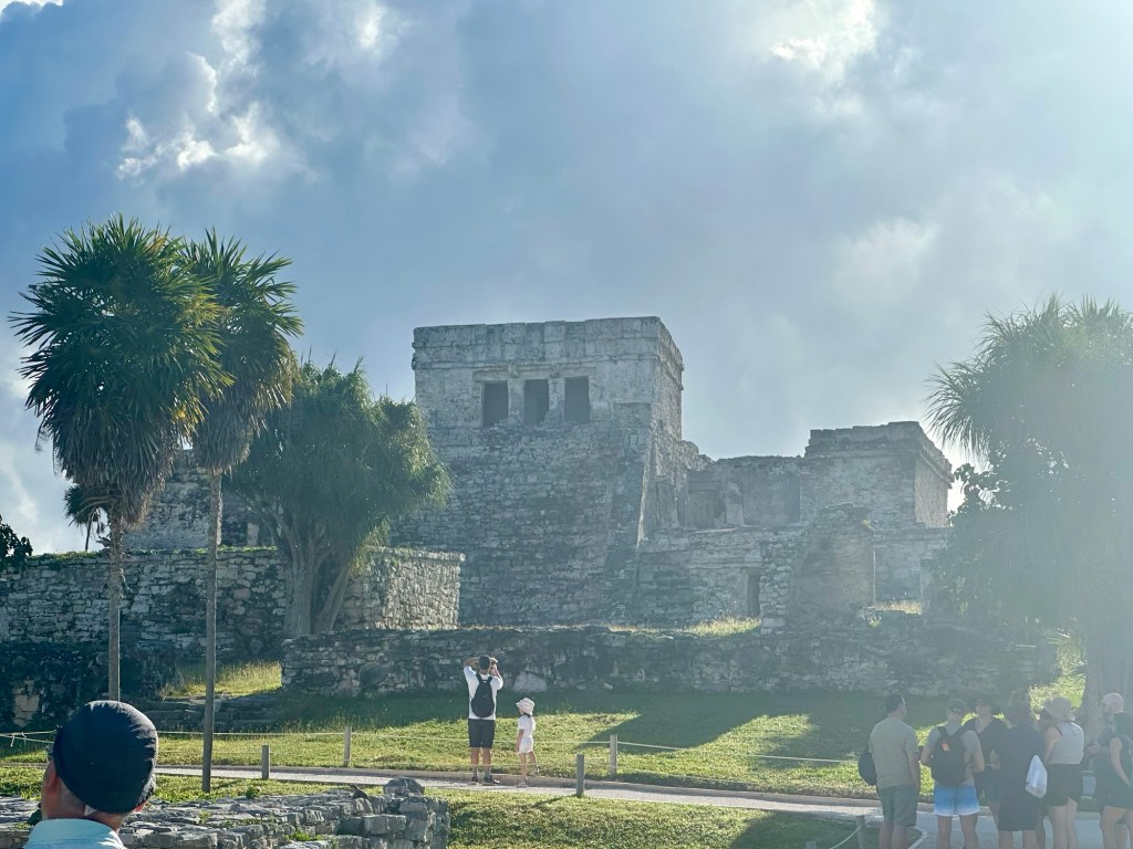
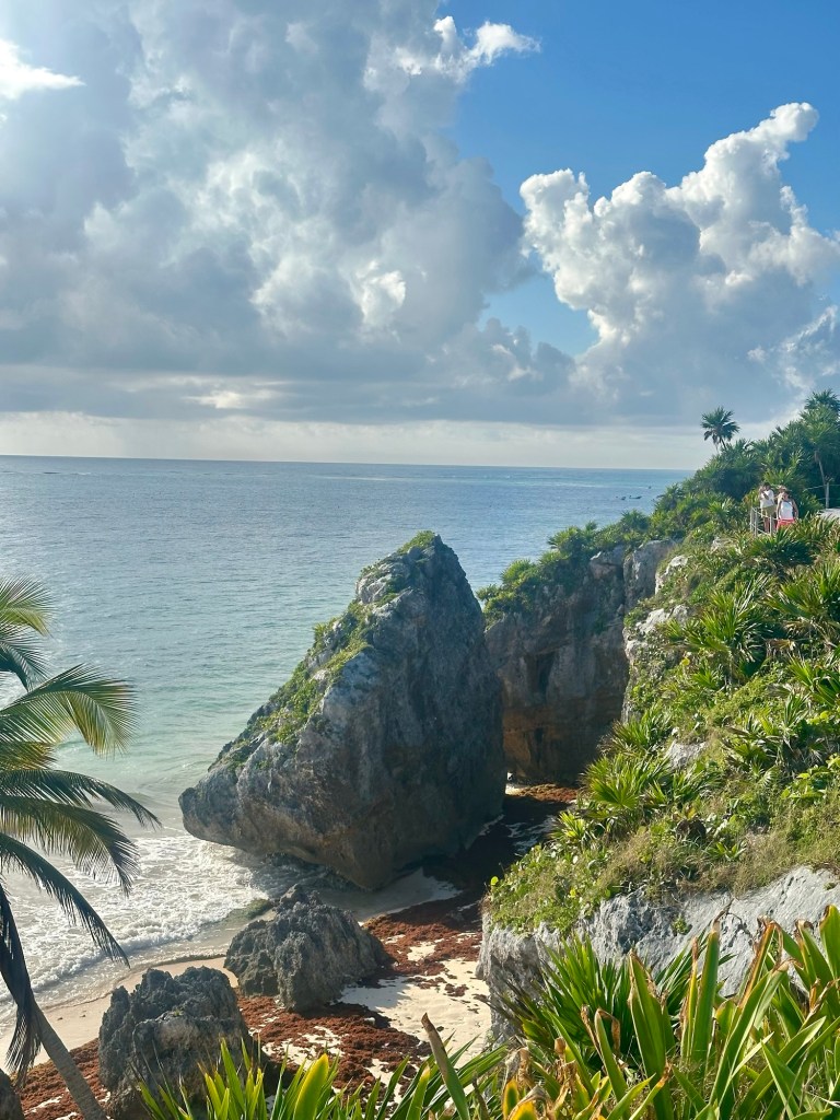
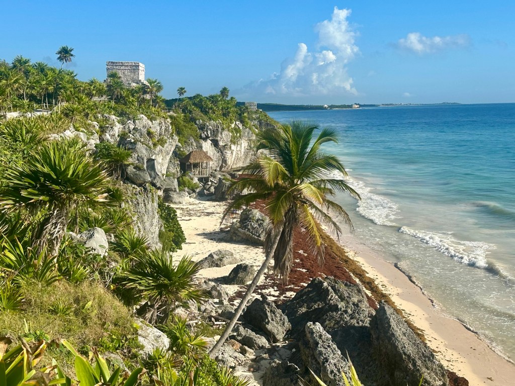
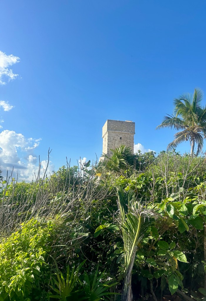
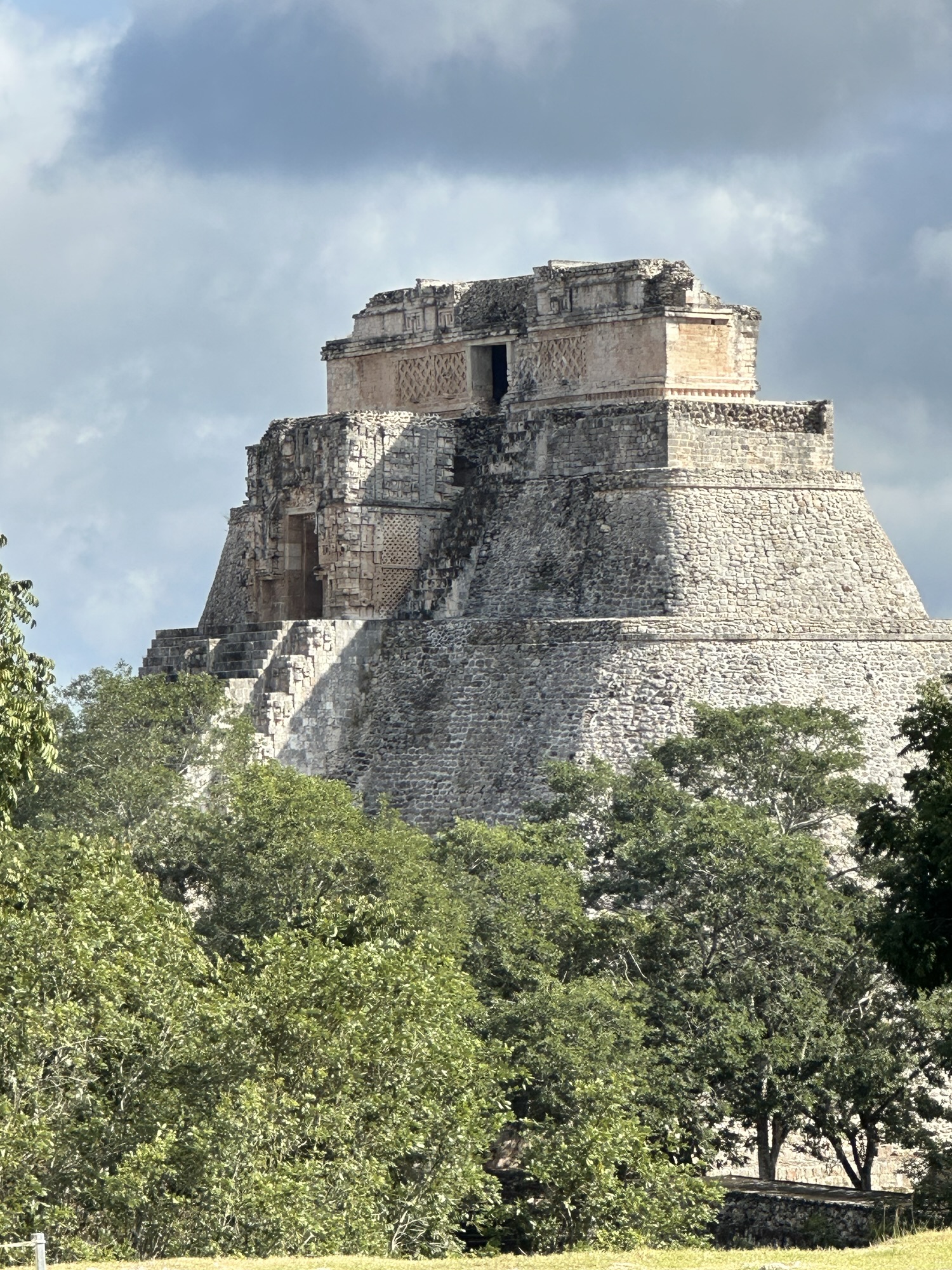
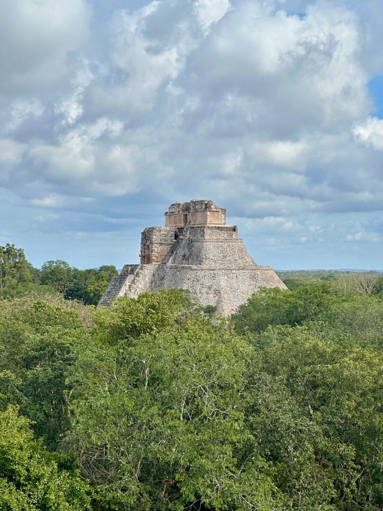
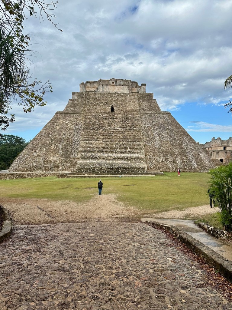
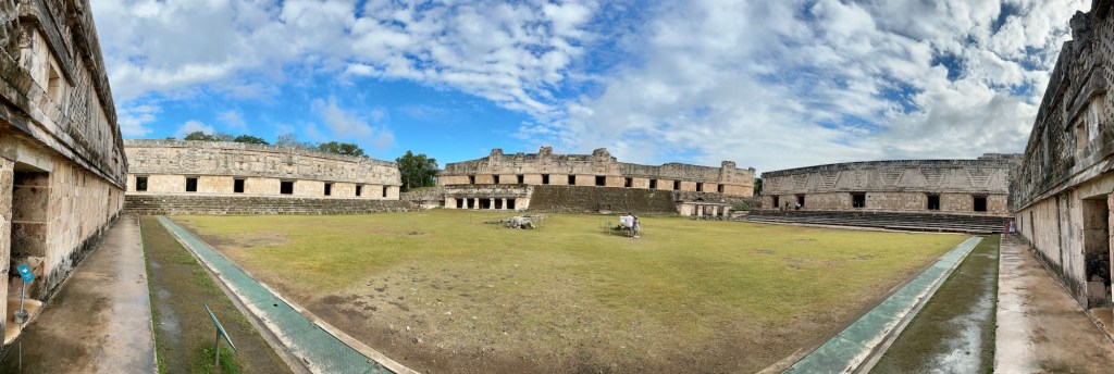
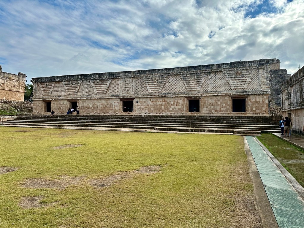
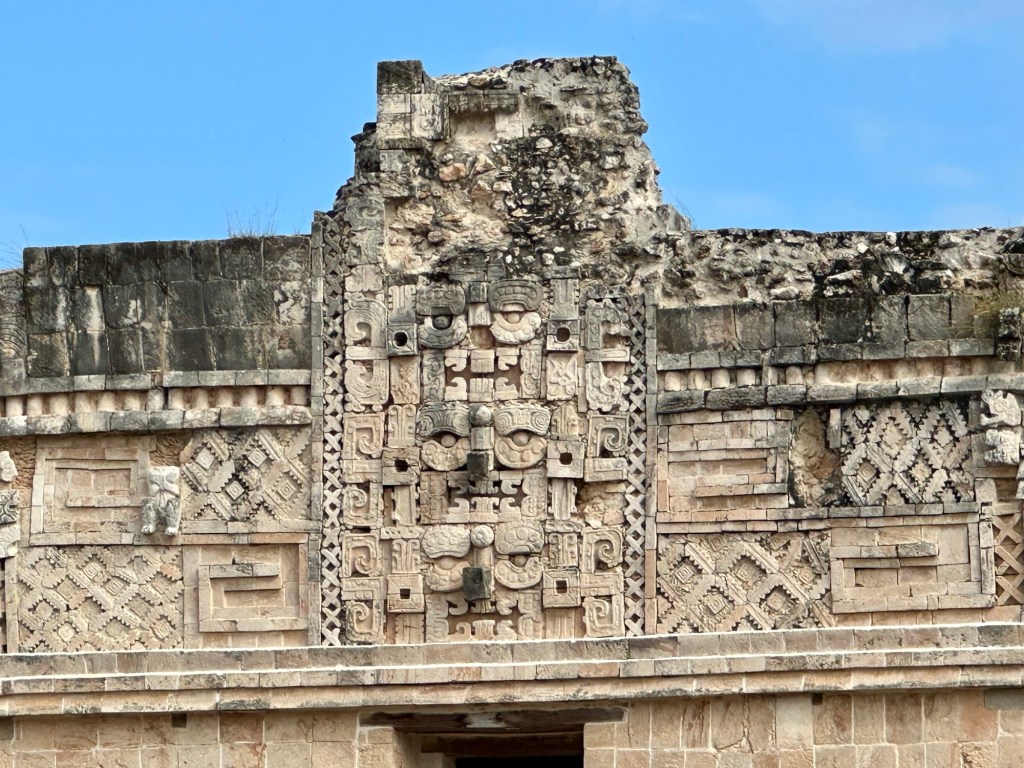
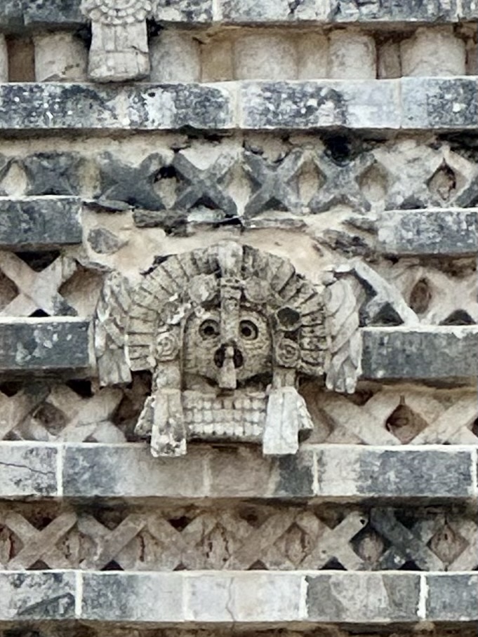
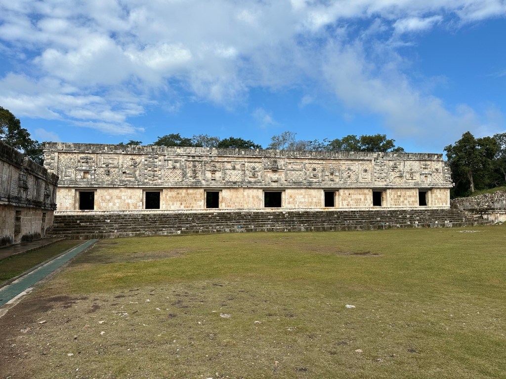
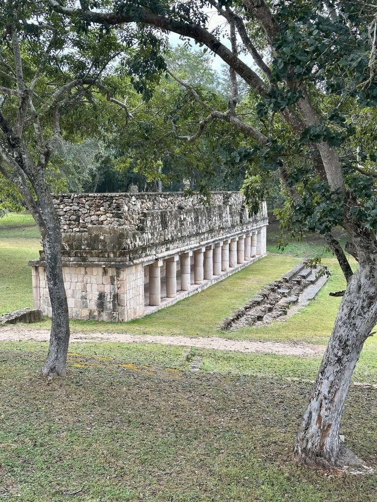
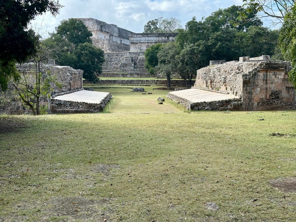
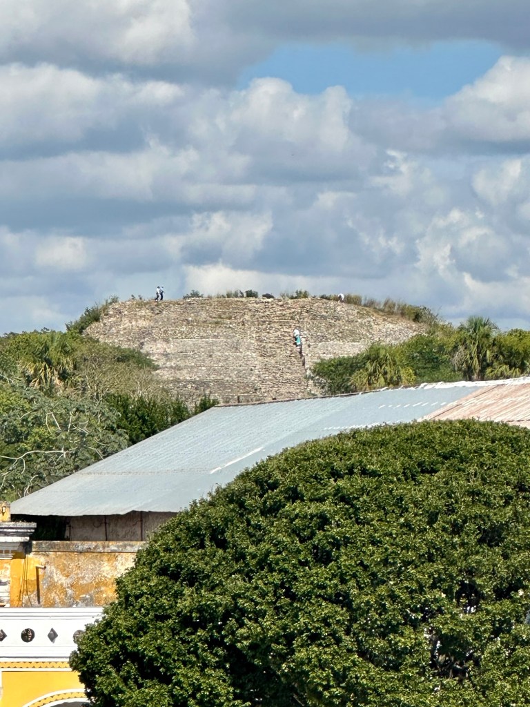
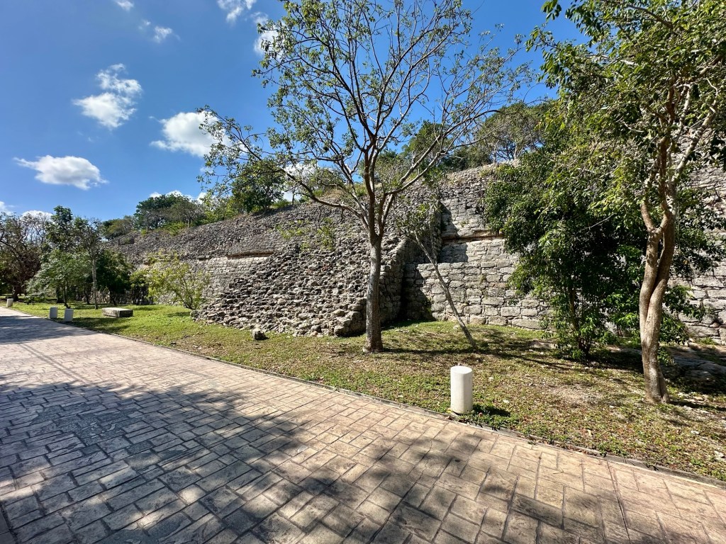
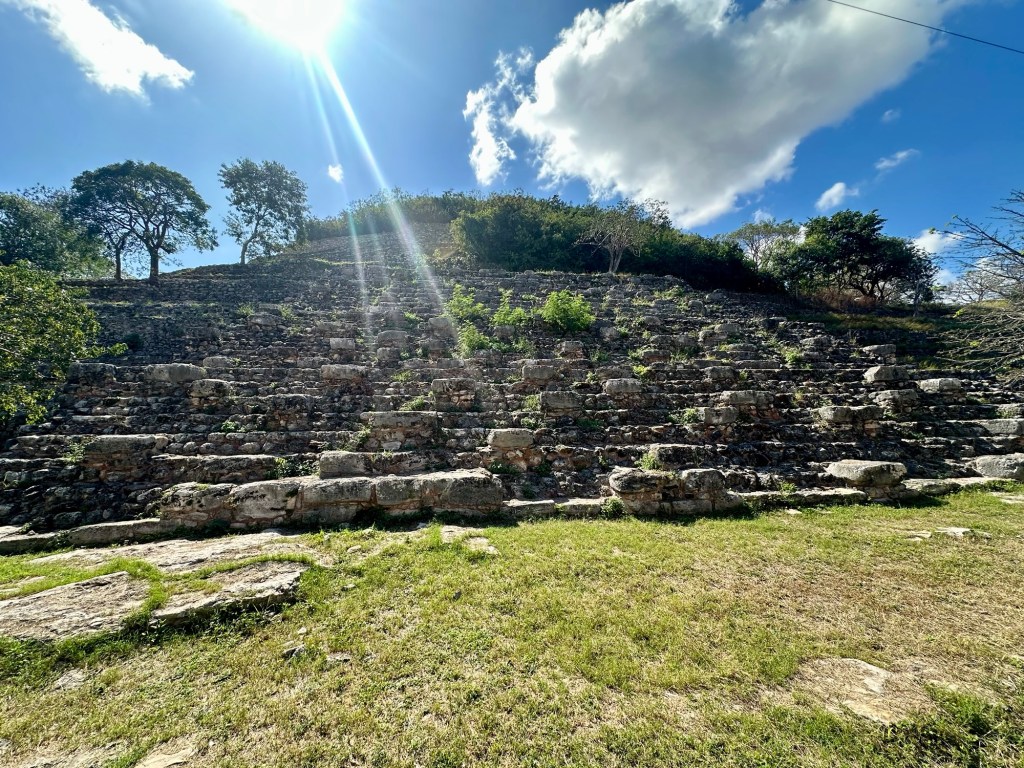
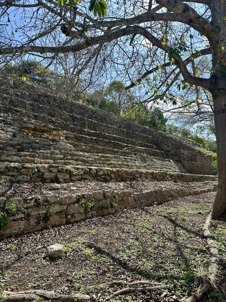
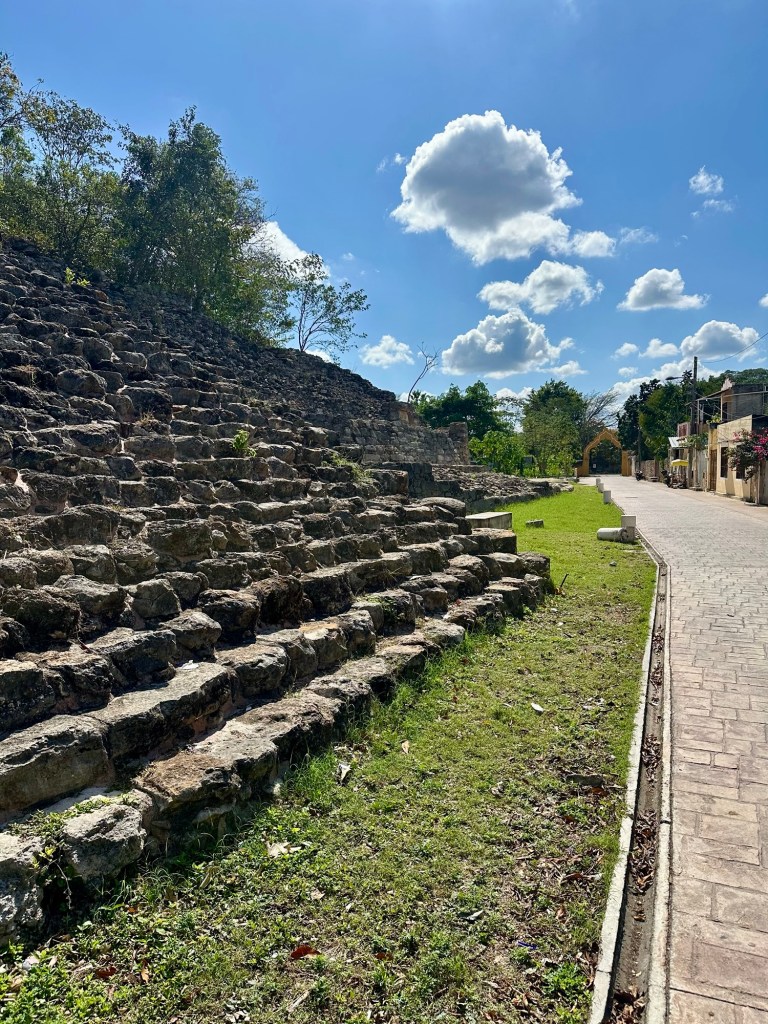
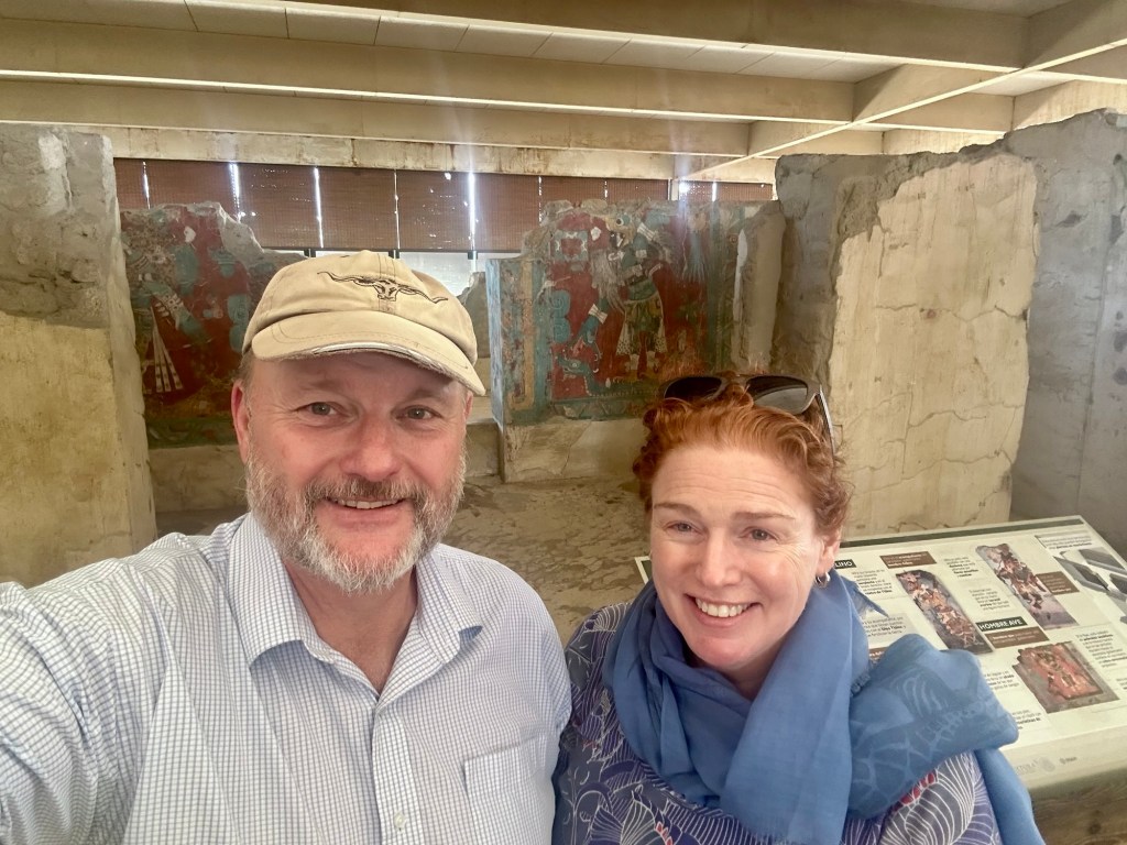
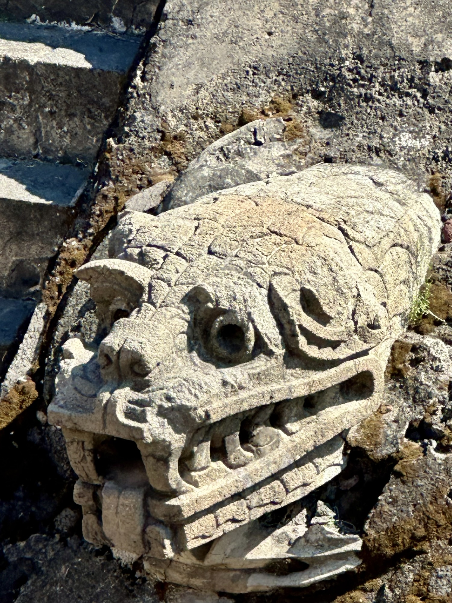
Leaving the beach to the ‘beautiful’ people, we decided on Monday to do some exploring. Miguel C picked us up bright and early and we headed to the Mayan Tulum ruins.
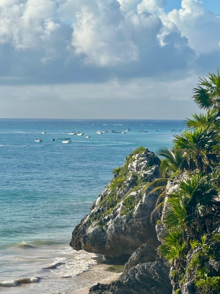
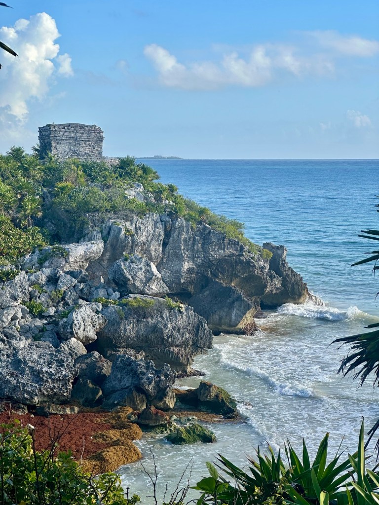
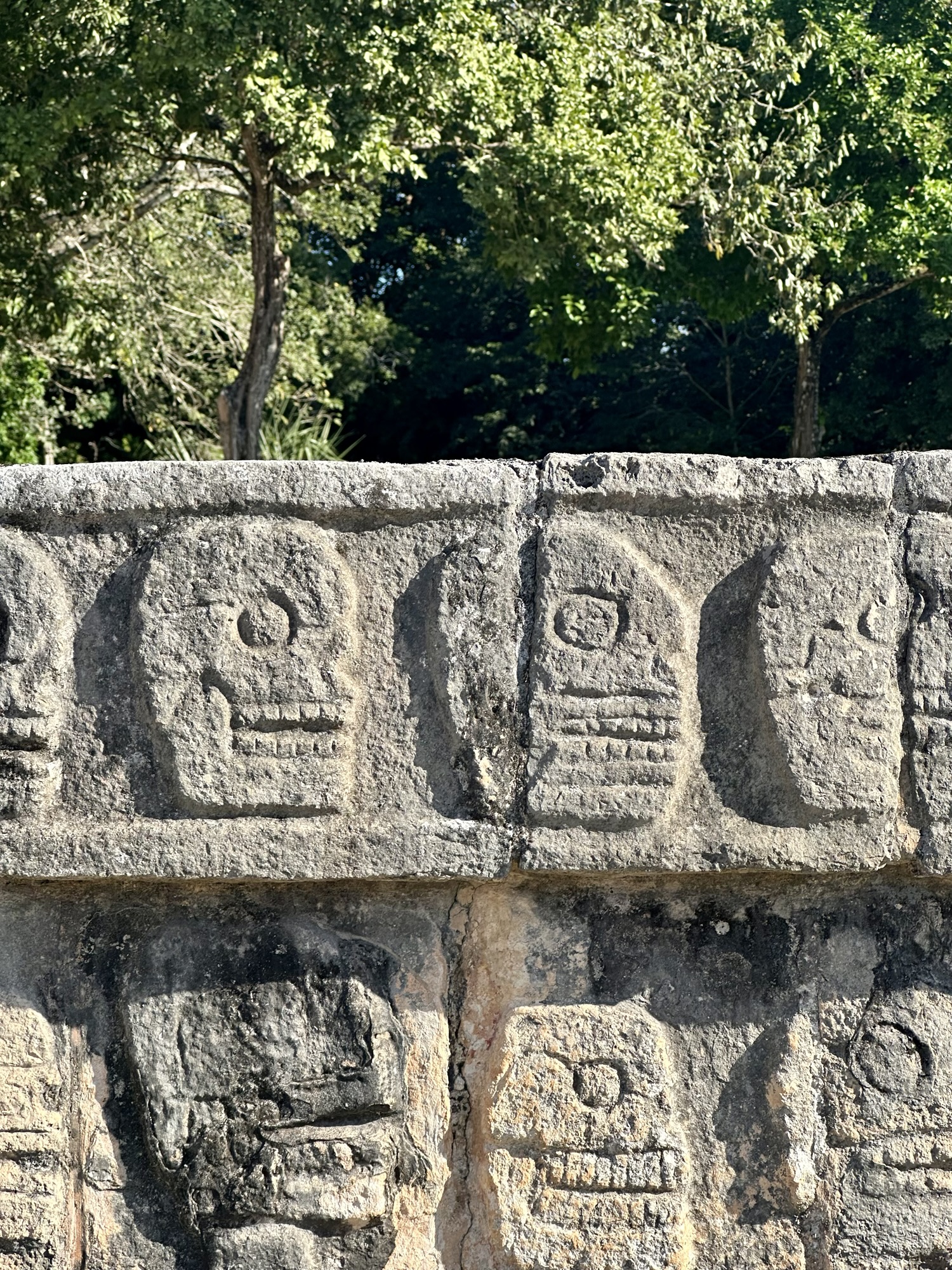
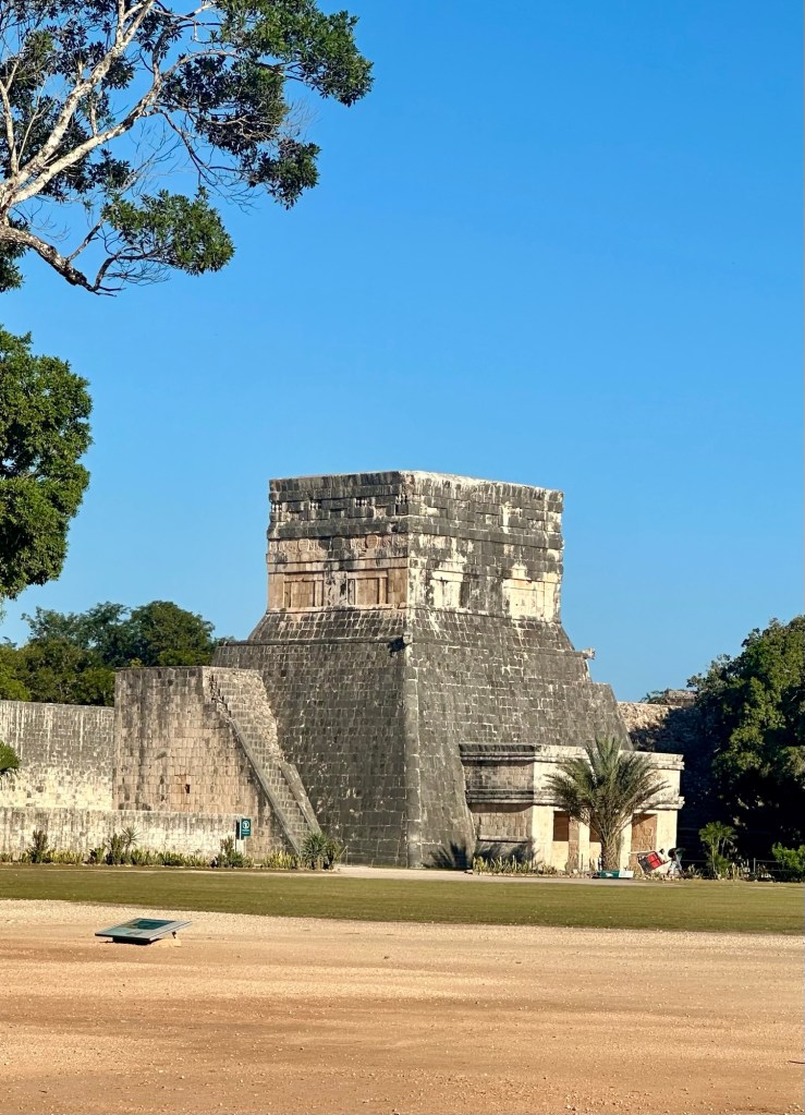
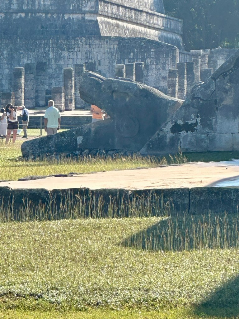
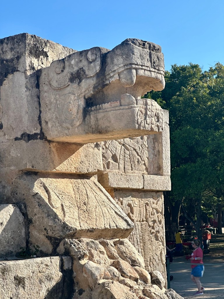
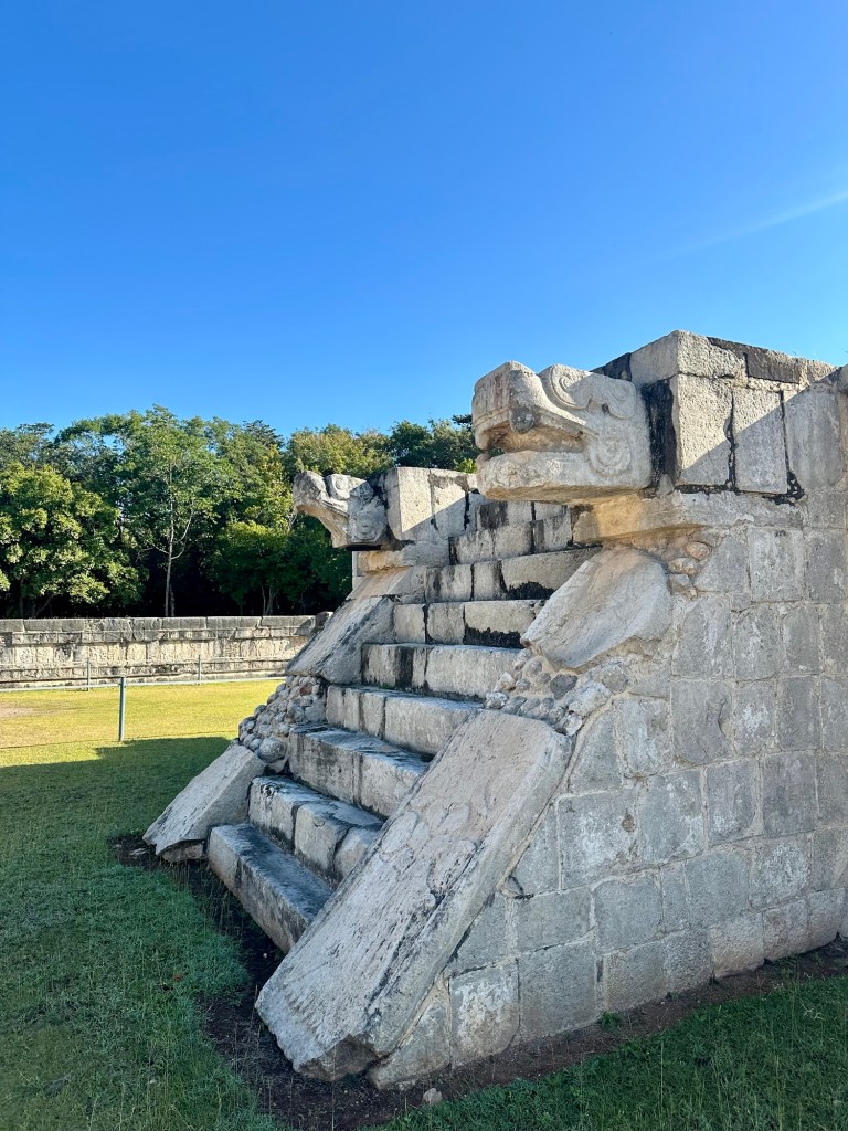
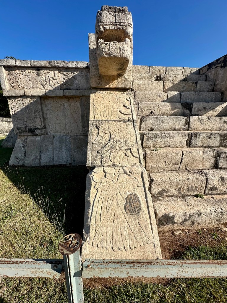
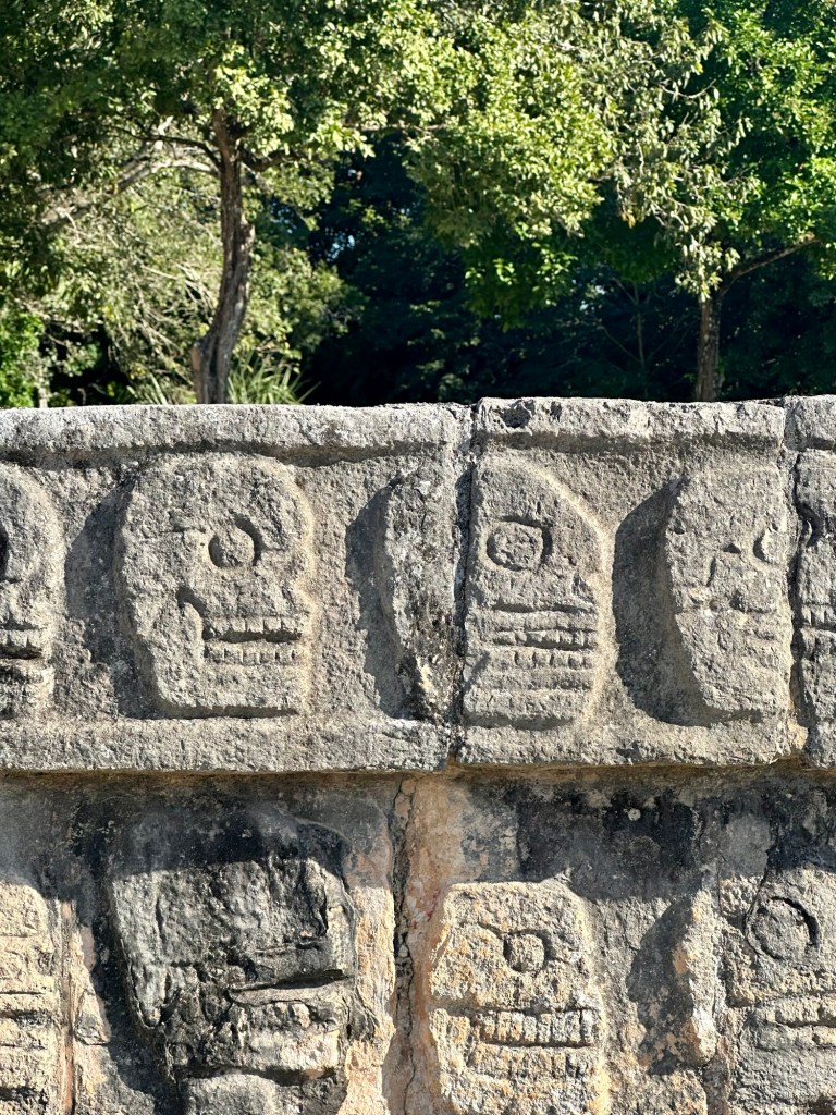
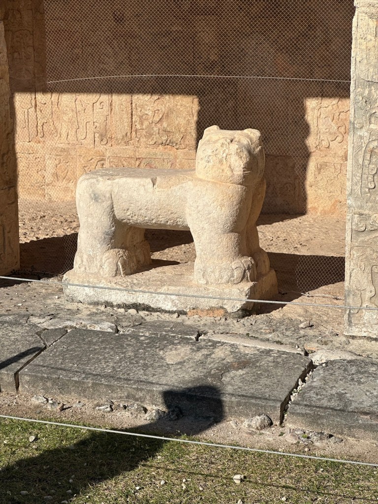
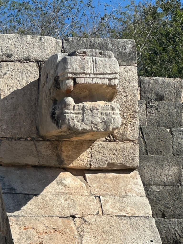
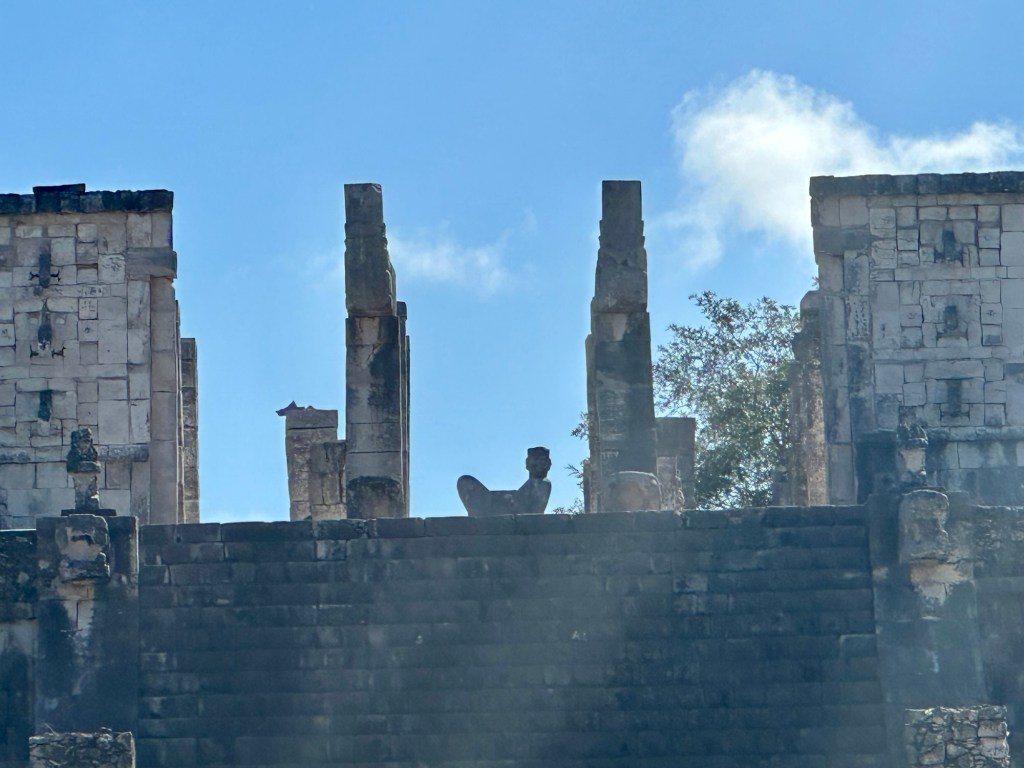
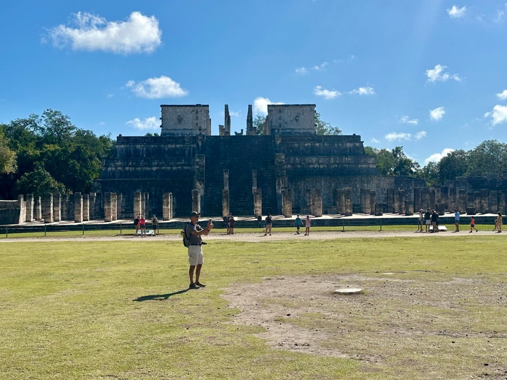
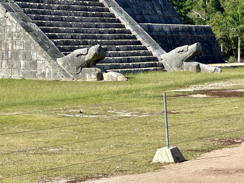
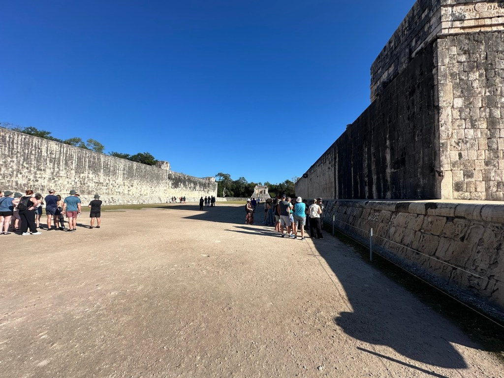
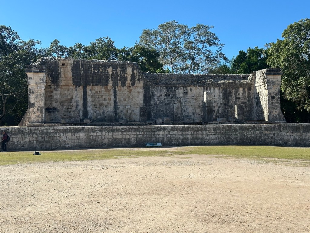
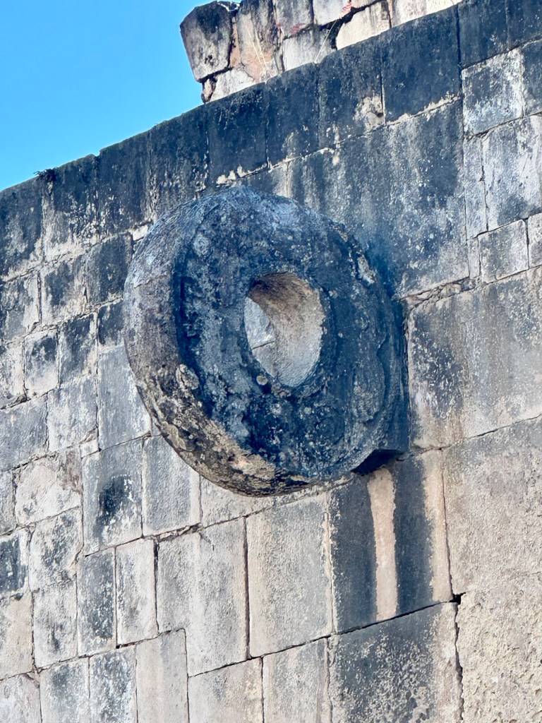
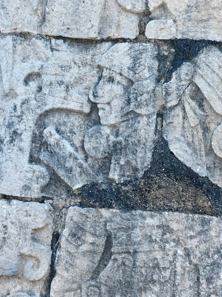
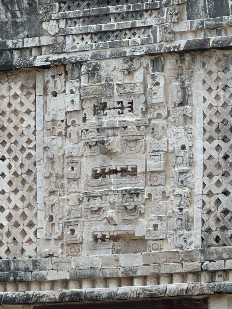
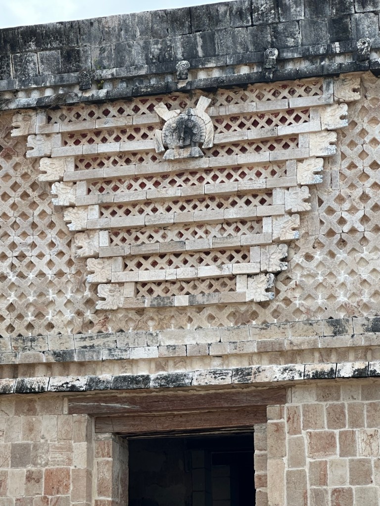
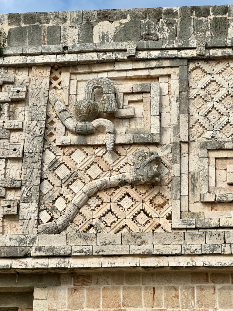
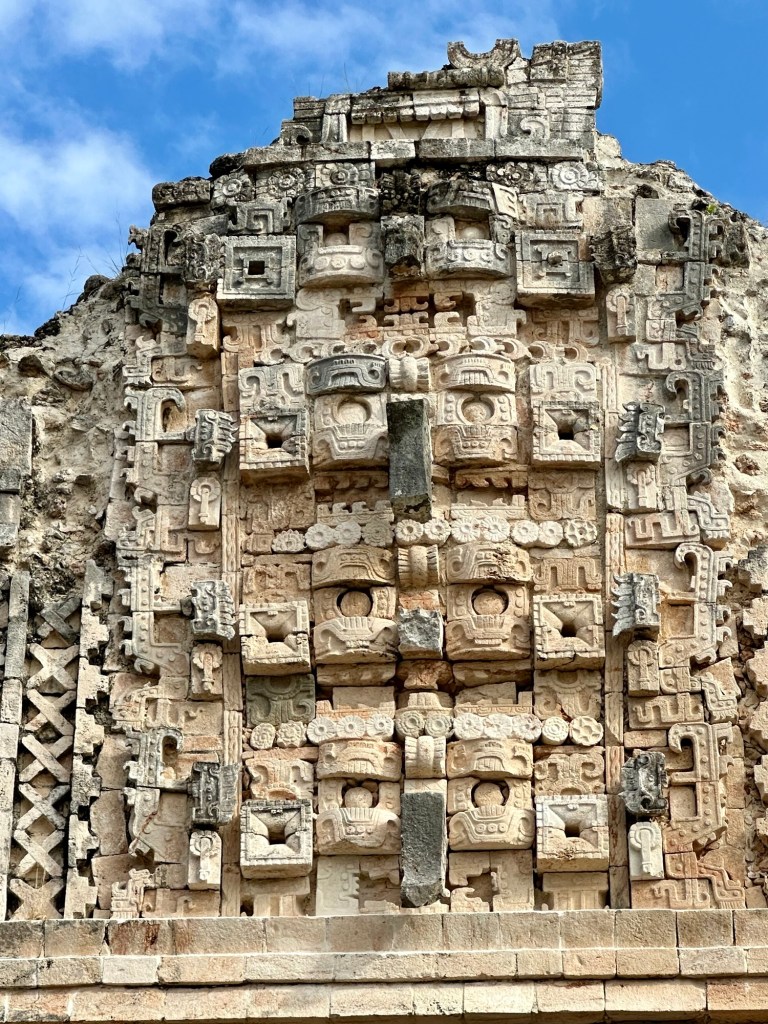
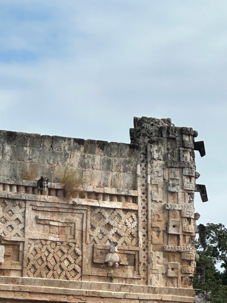
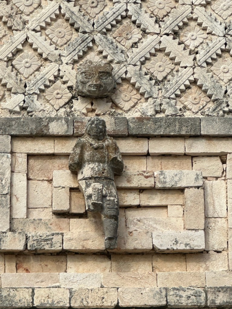
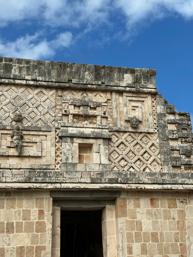
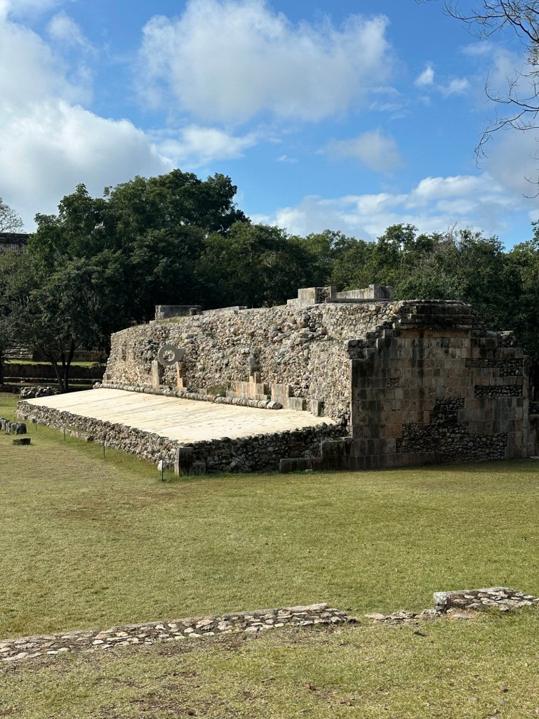
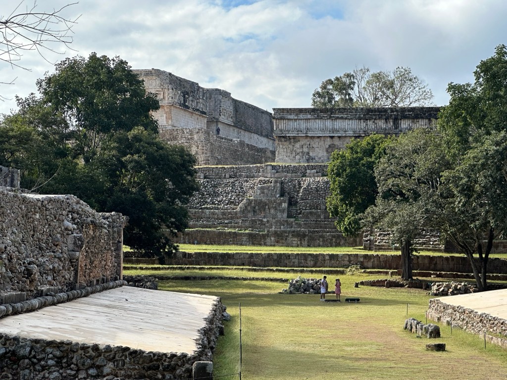
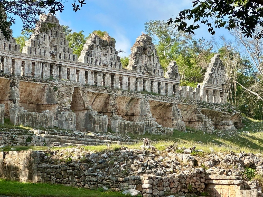
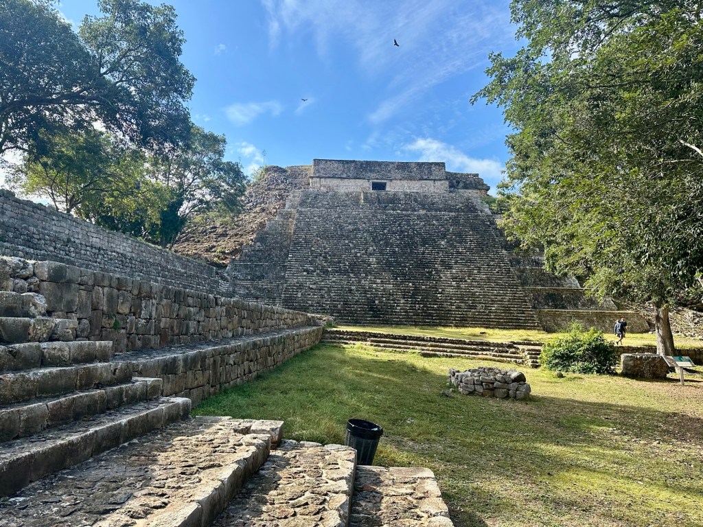
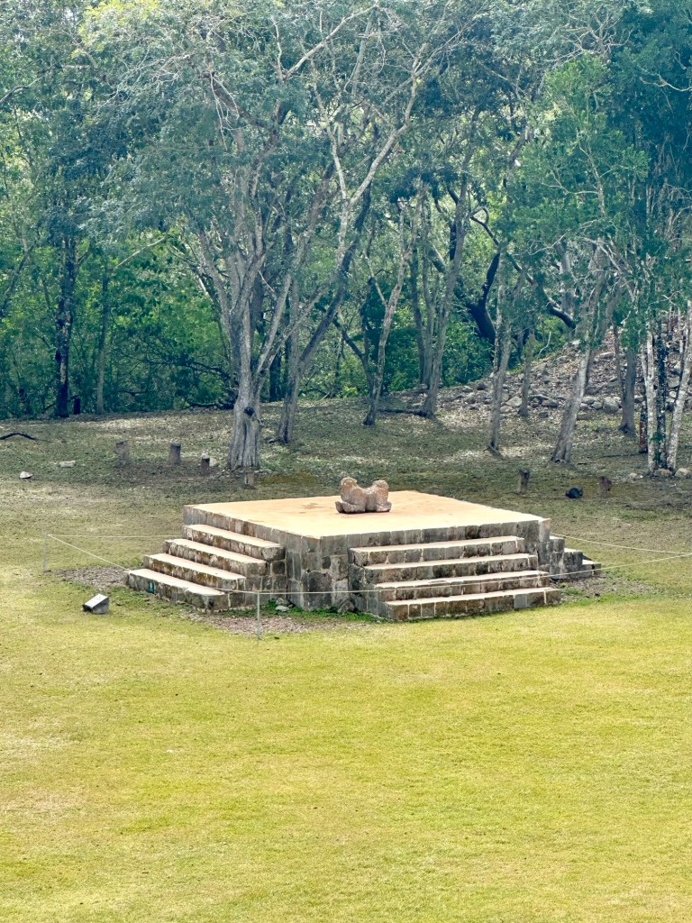
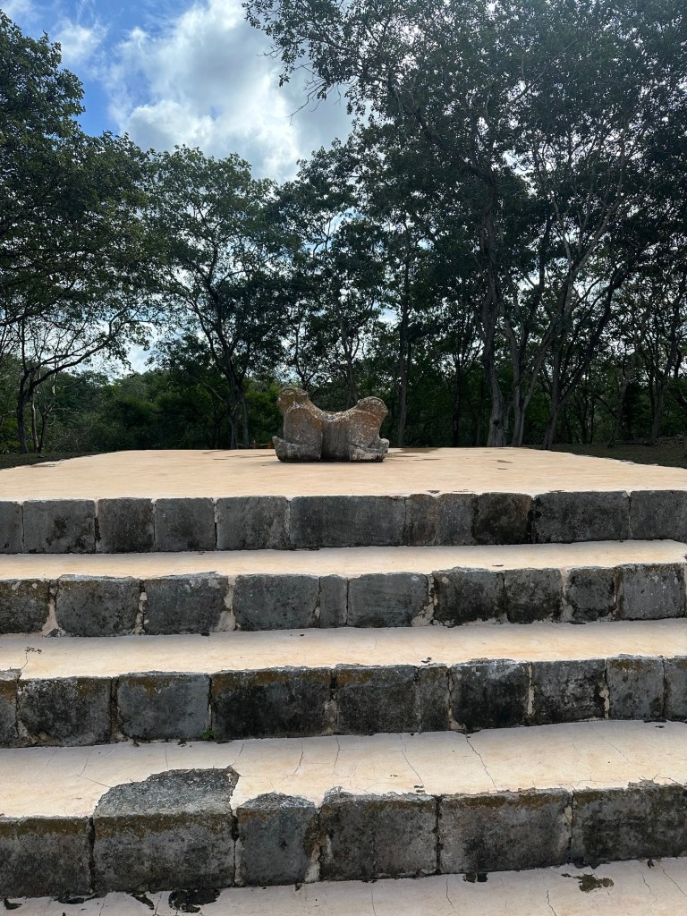
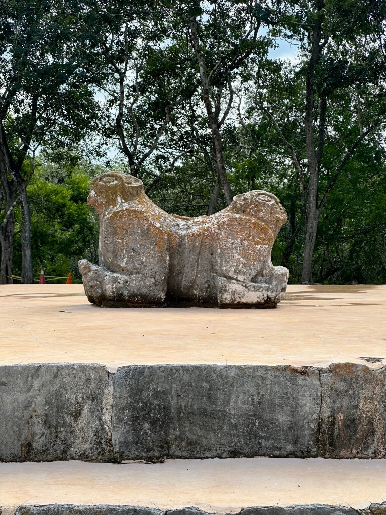
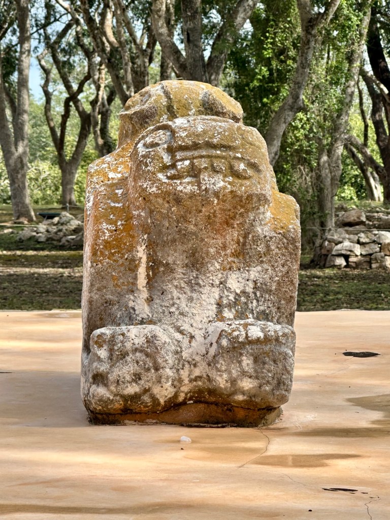
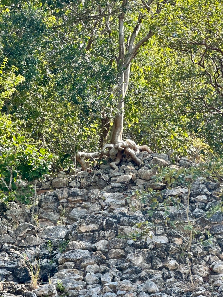
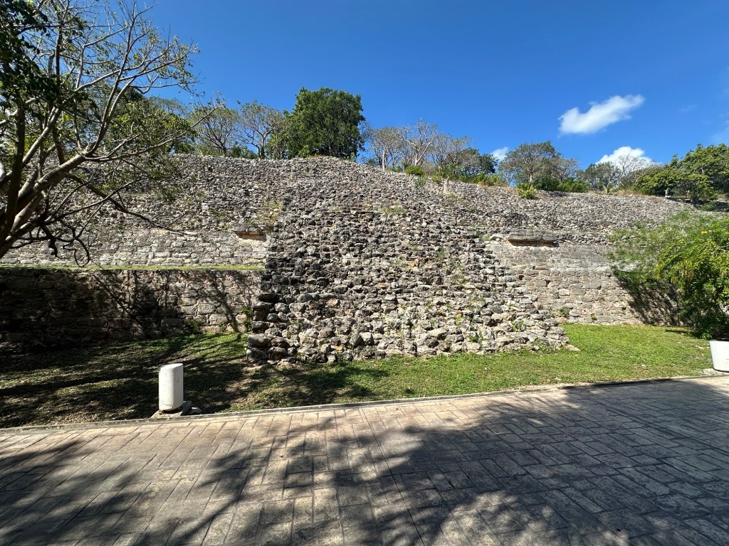
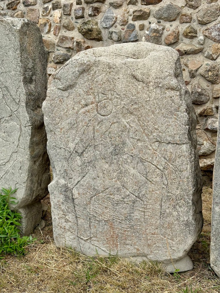
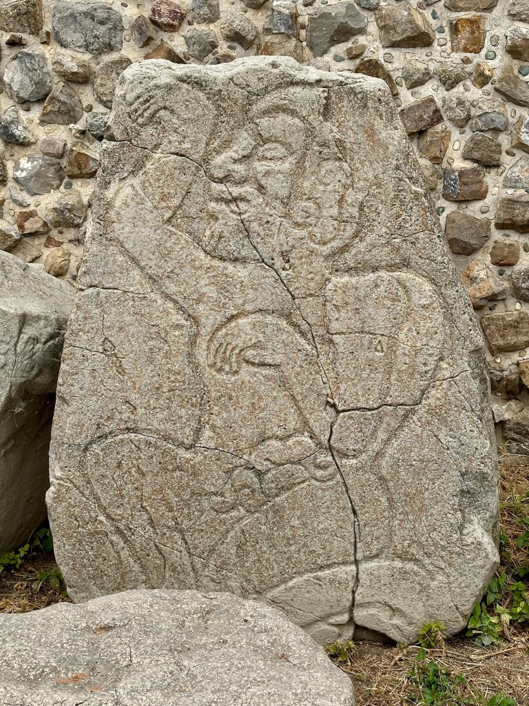
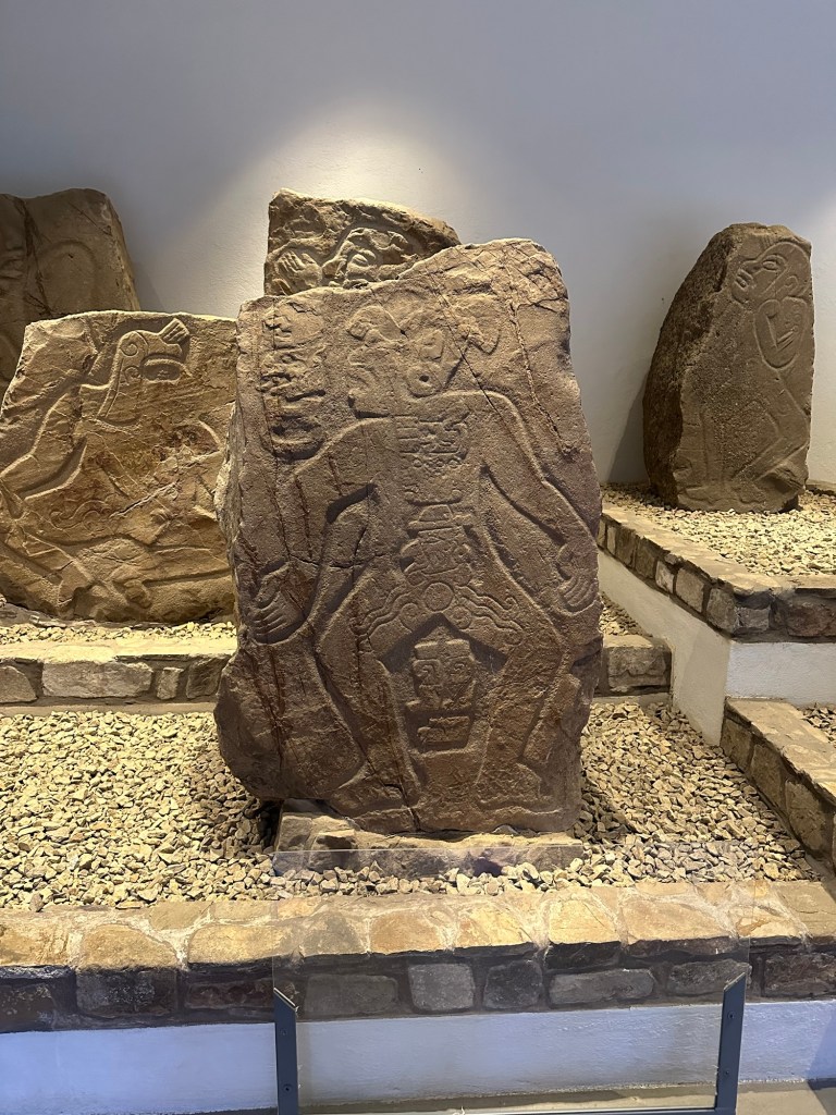
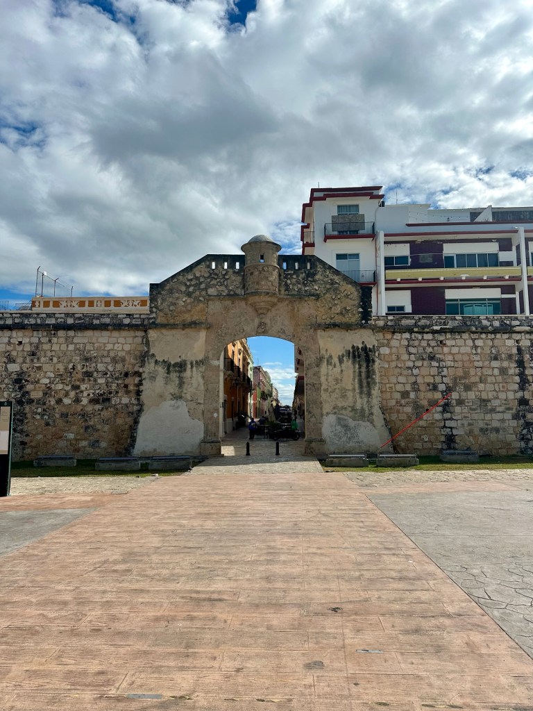
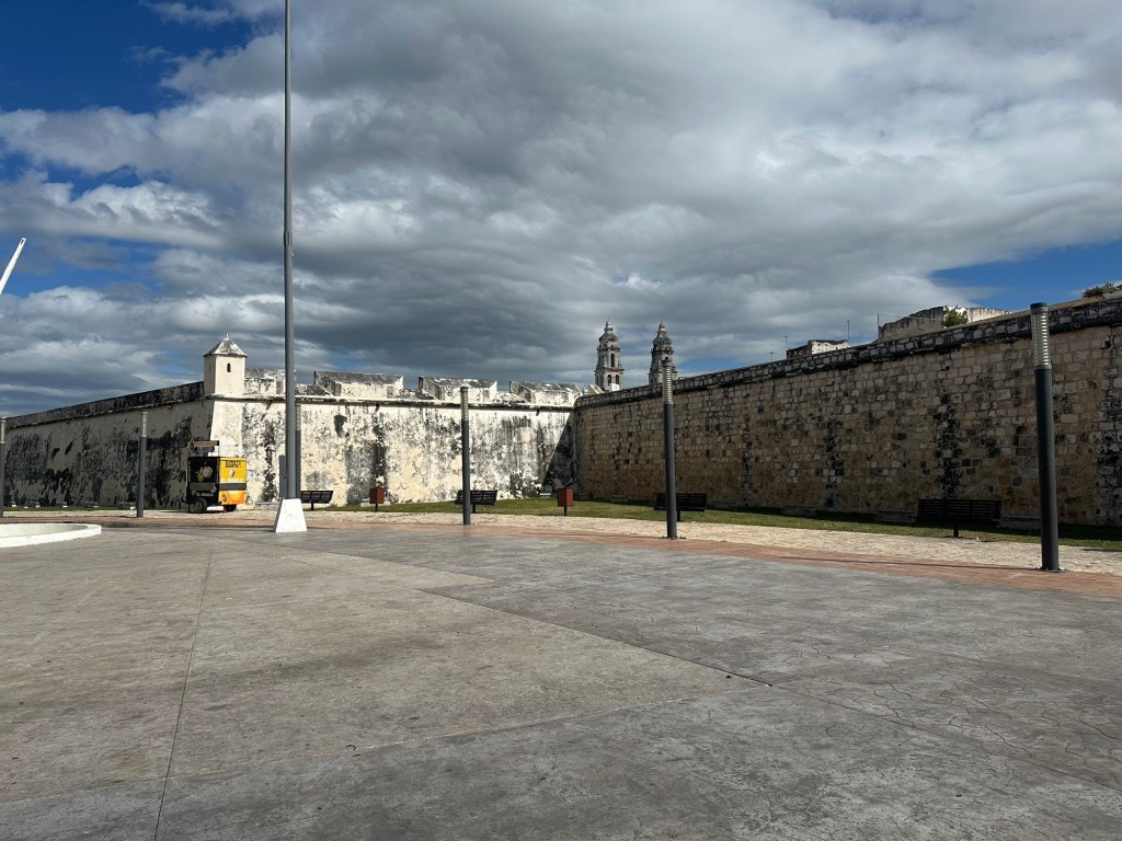
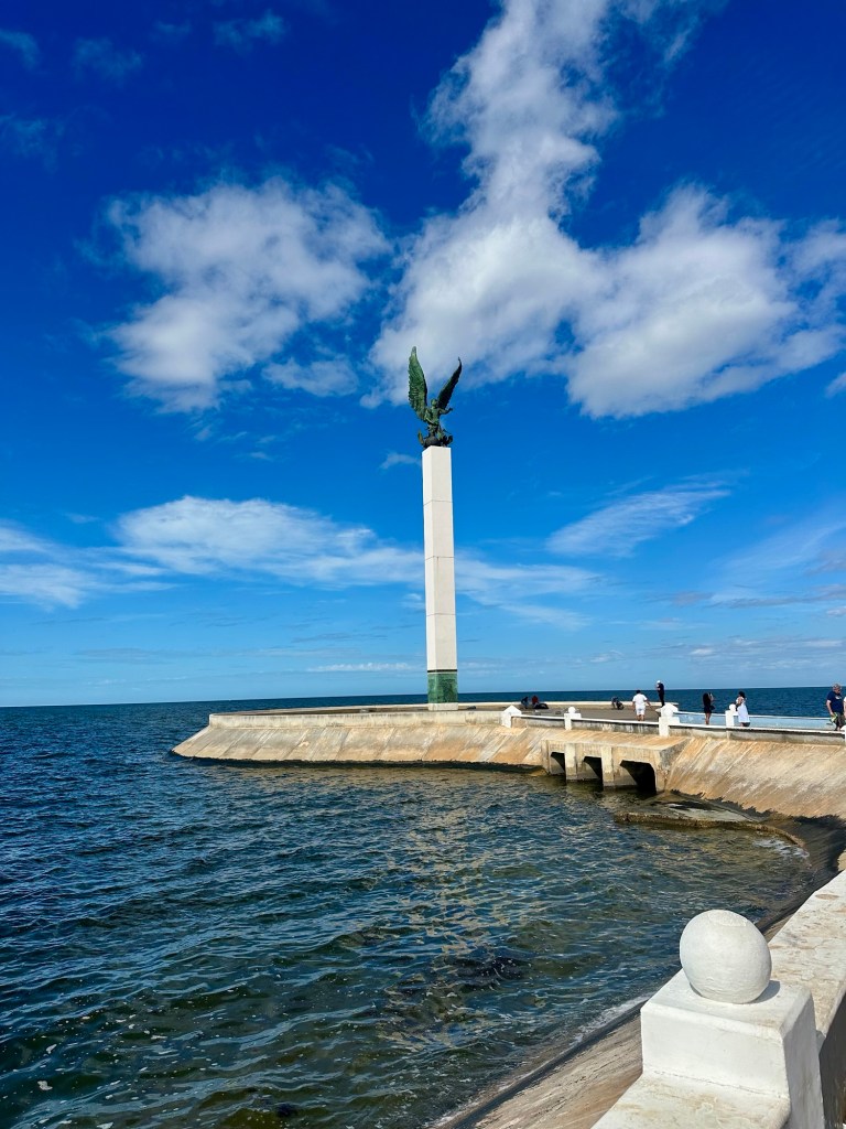
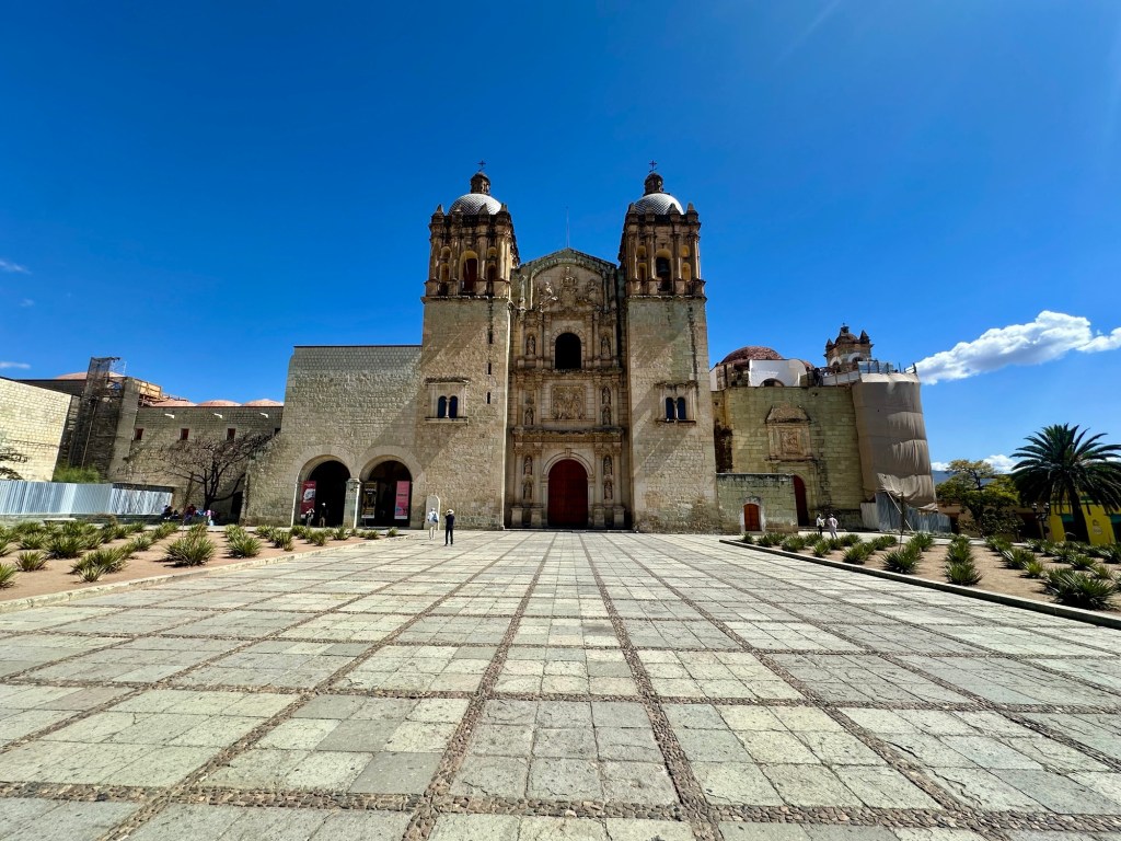
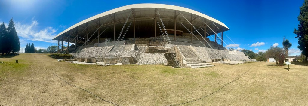
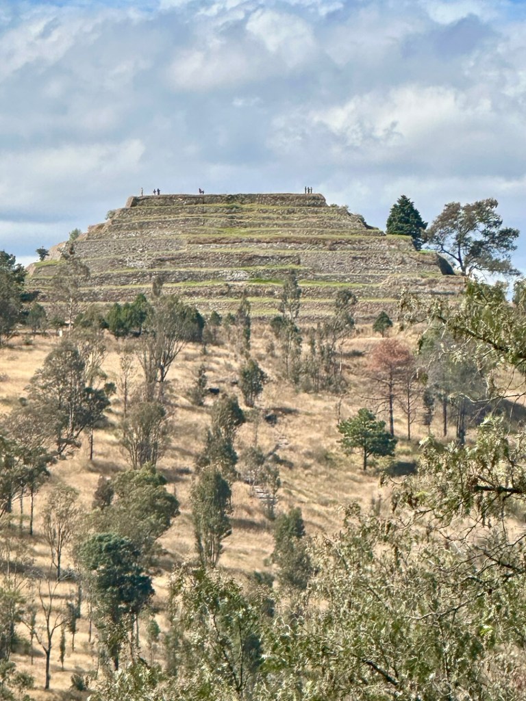
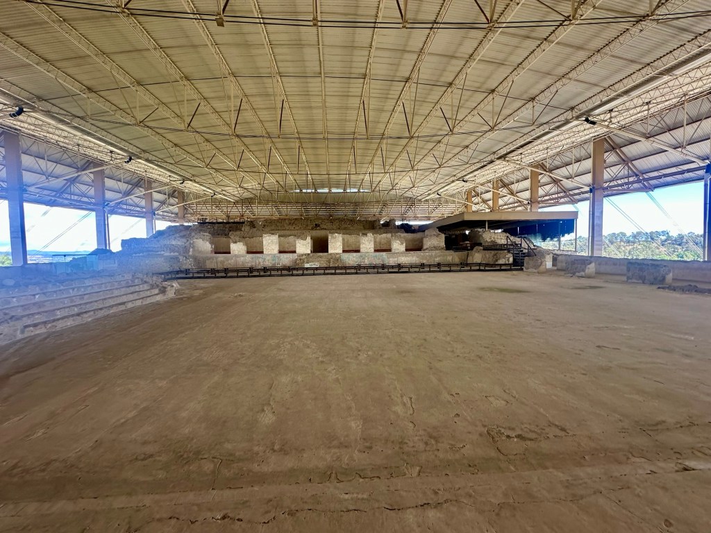
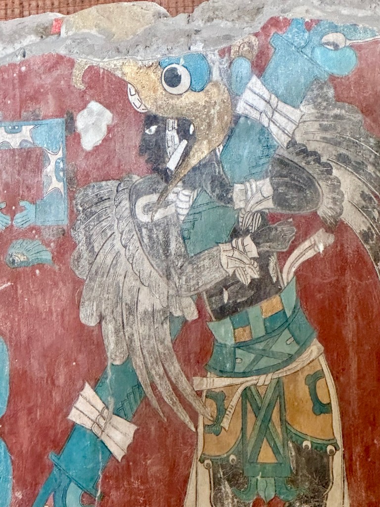
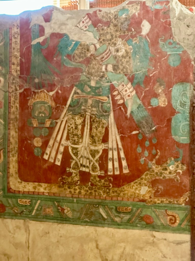
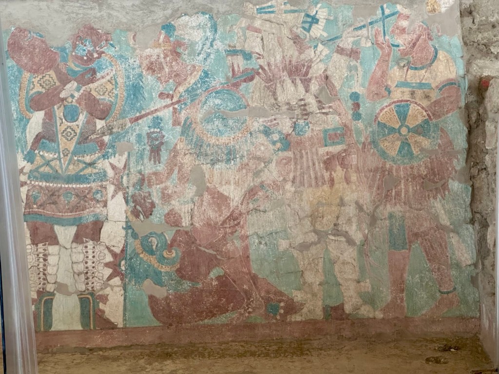
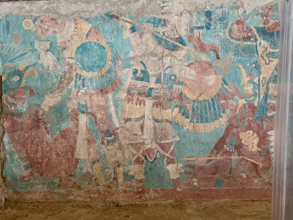
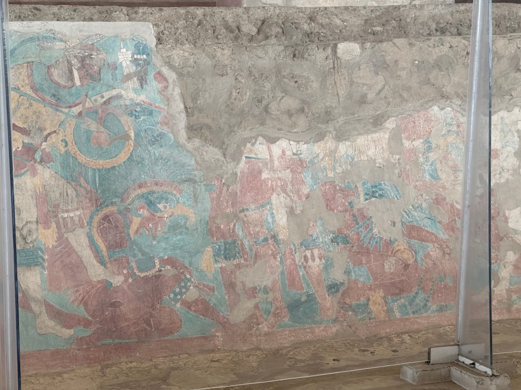
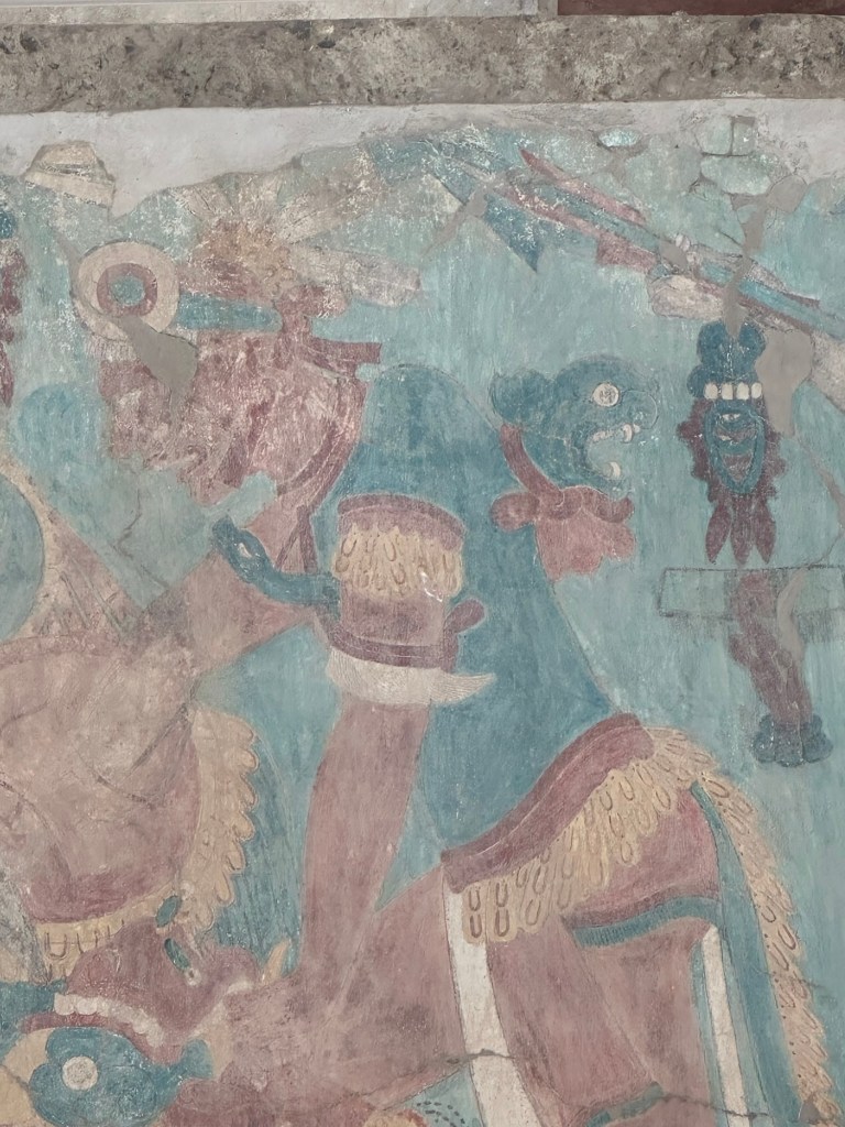
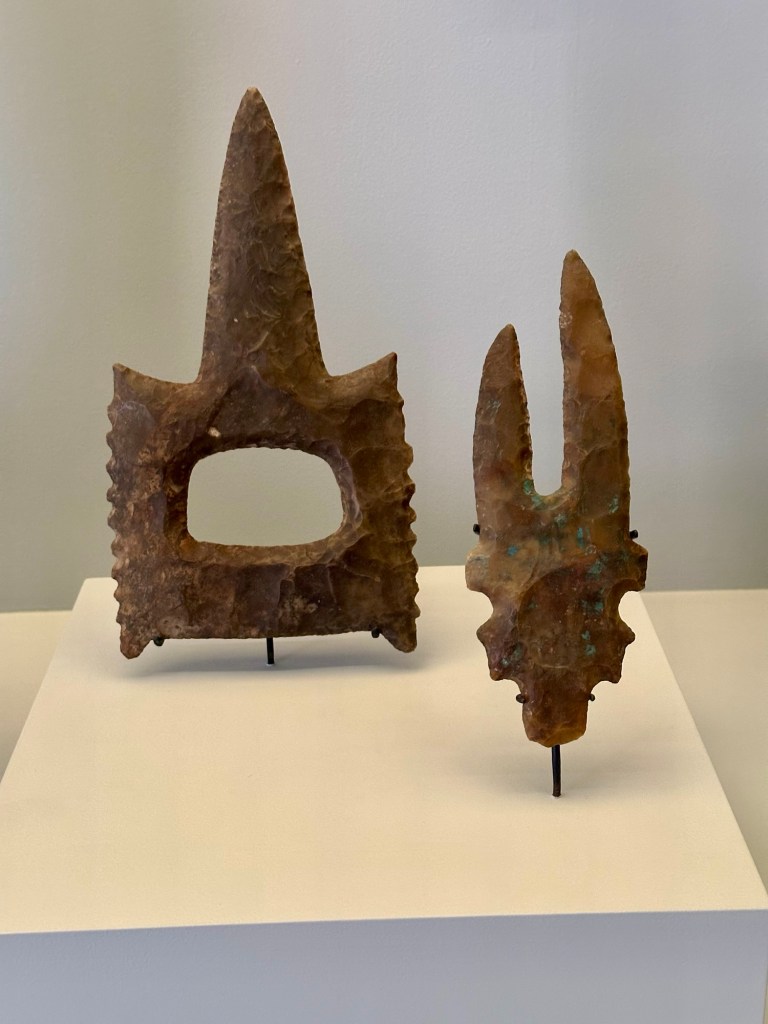
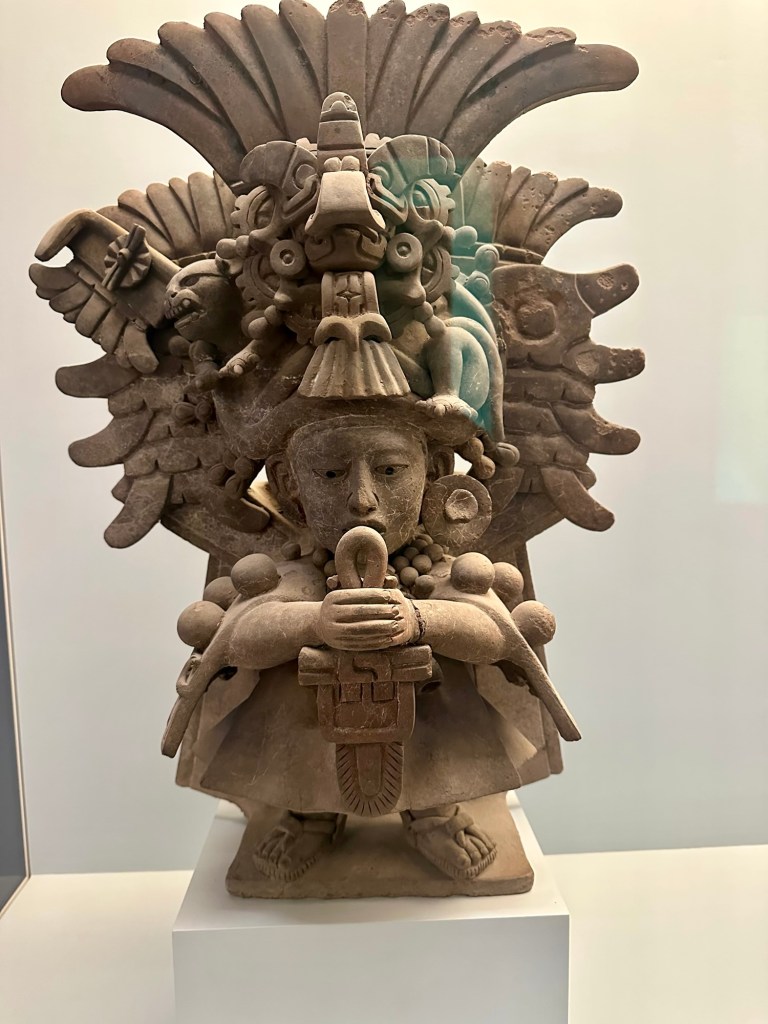
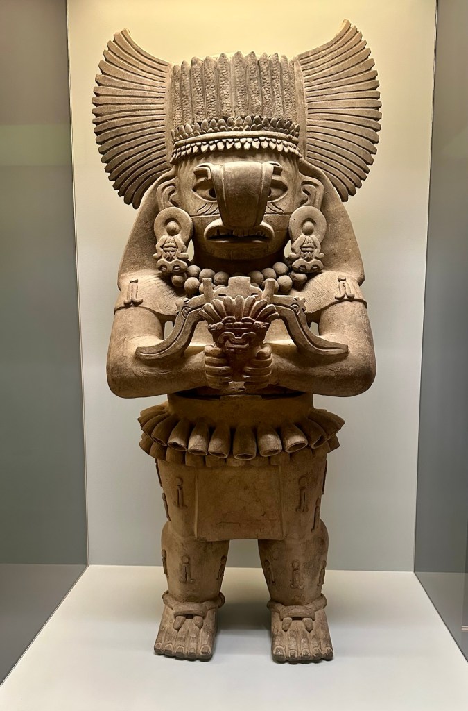
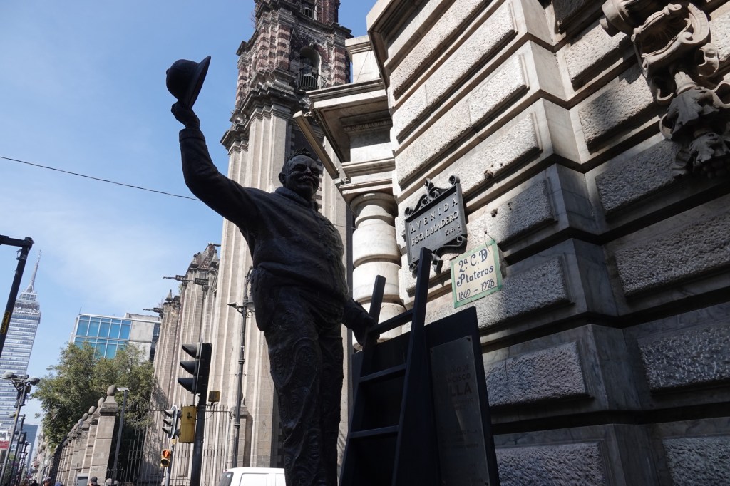
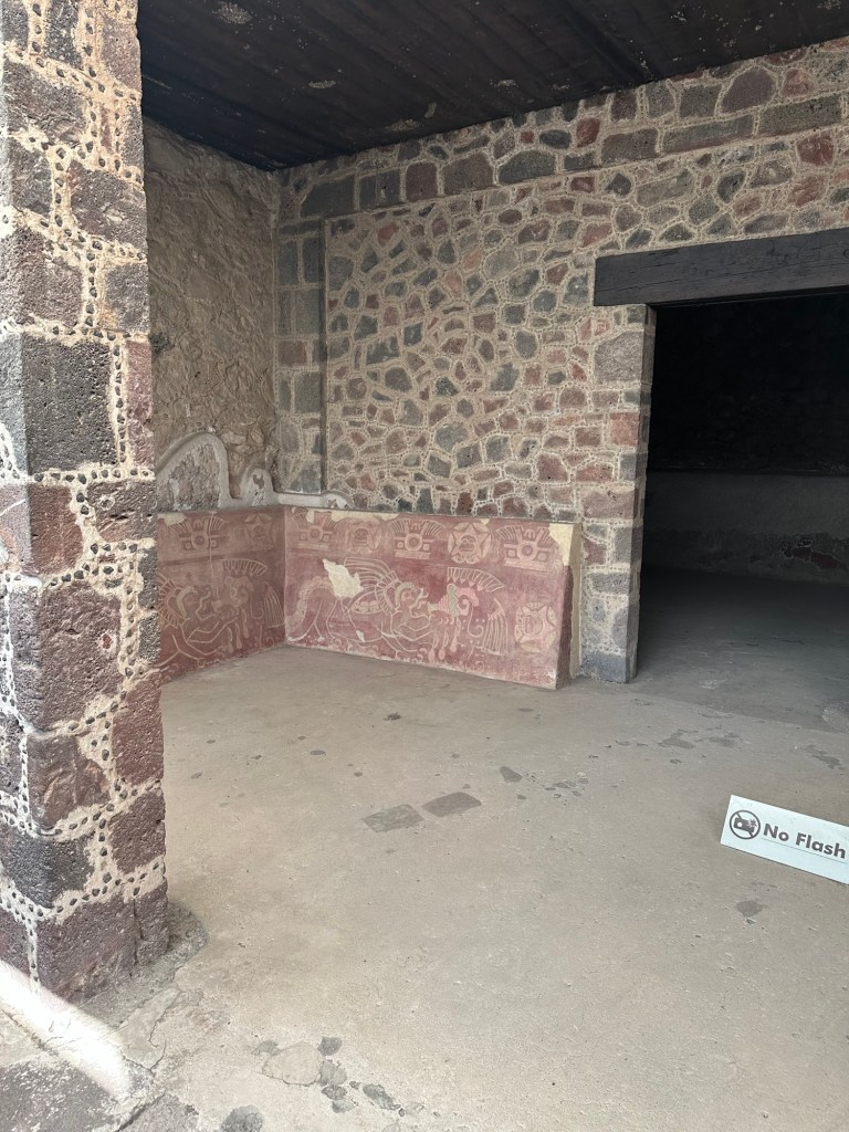
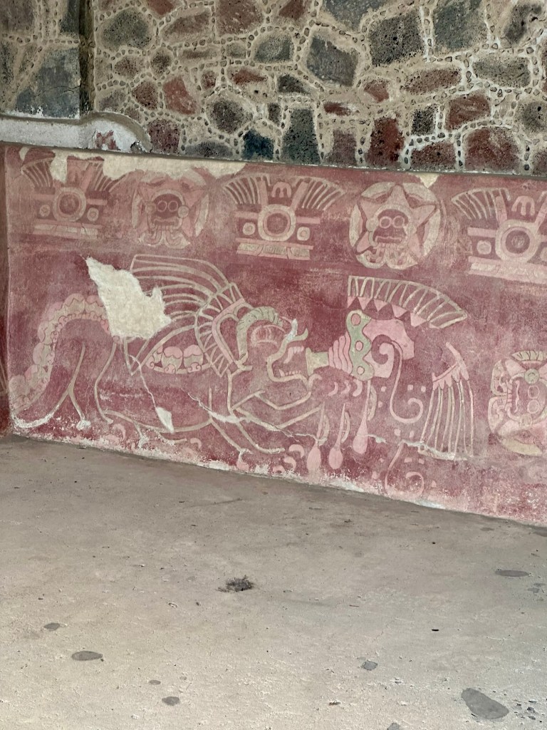
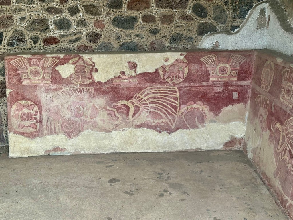
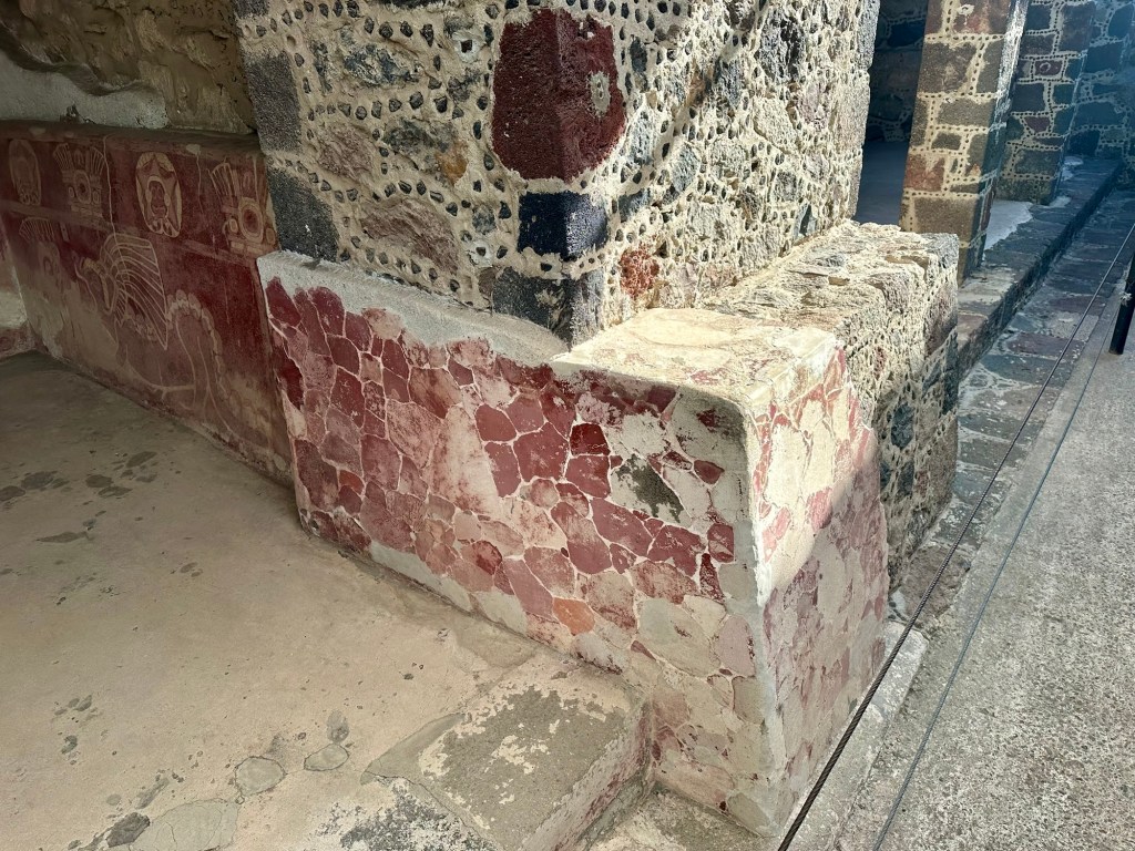
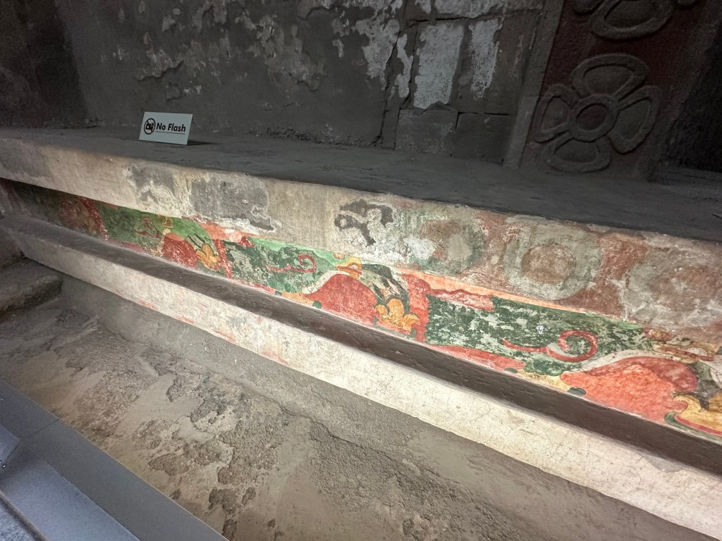
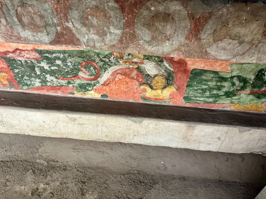
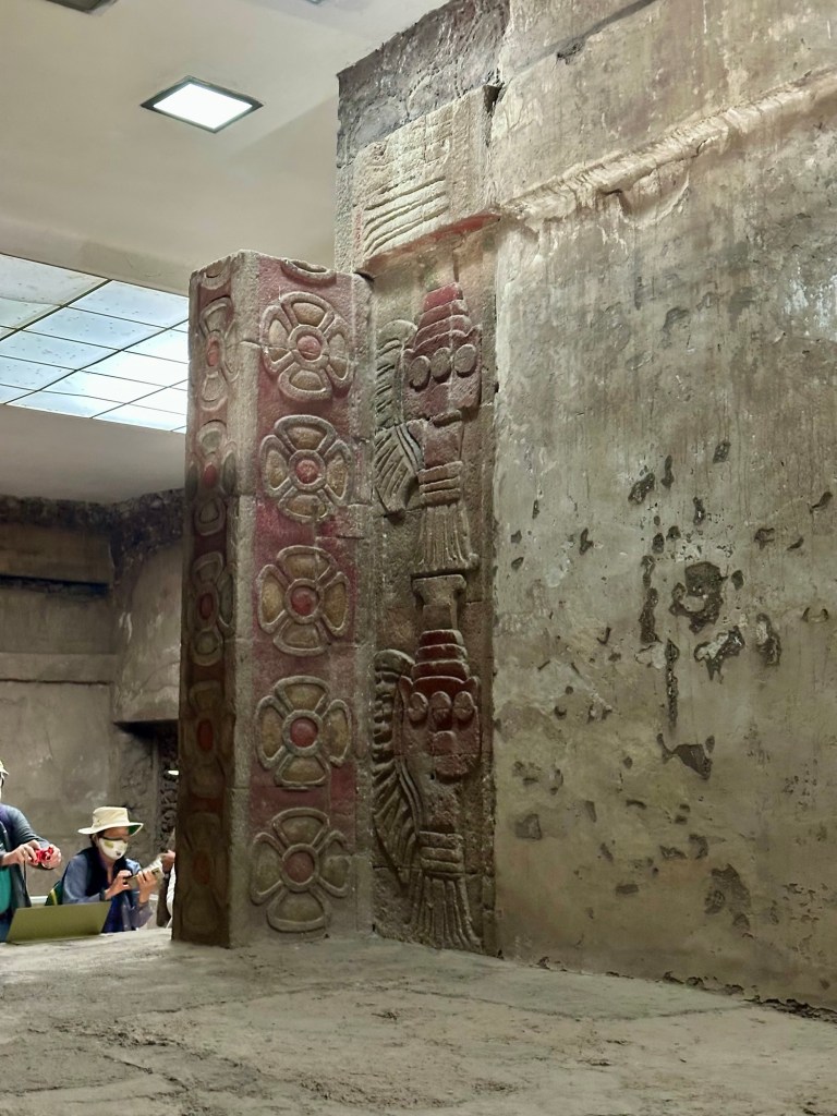
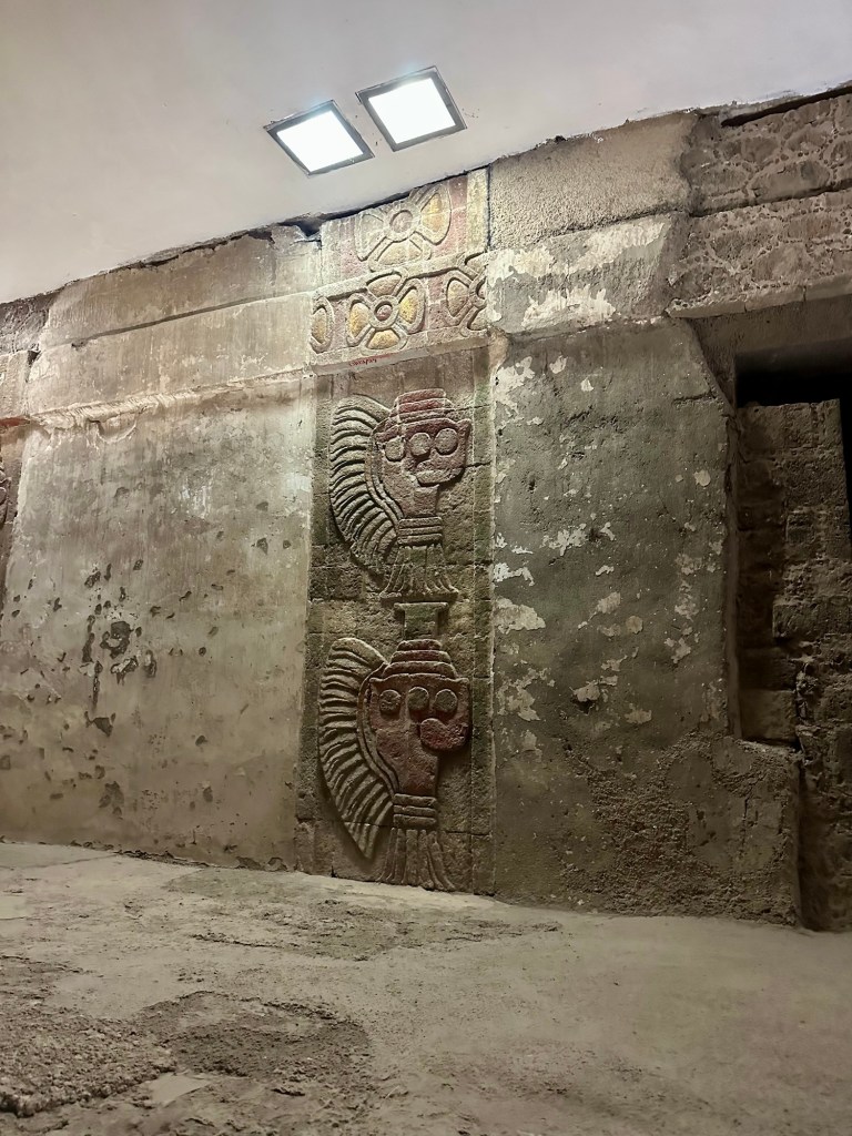
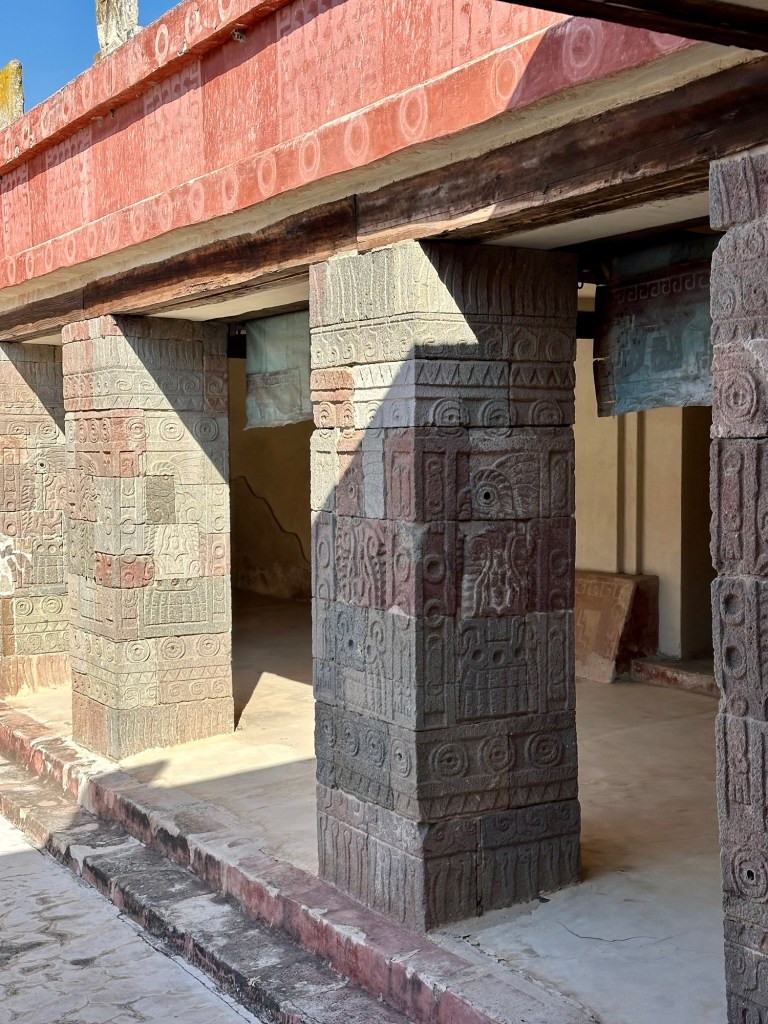
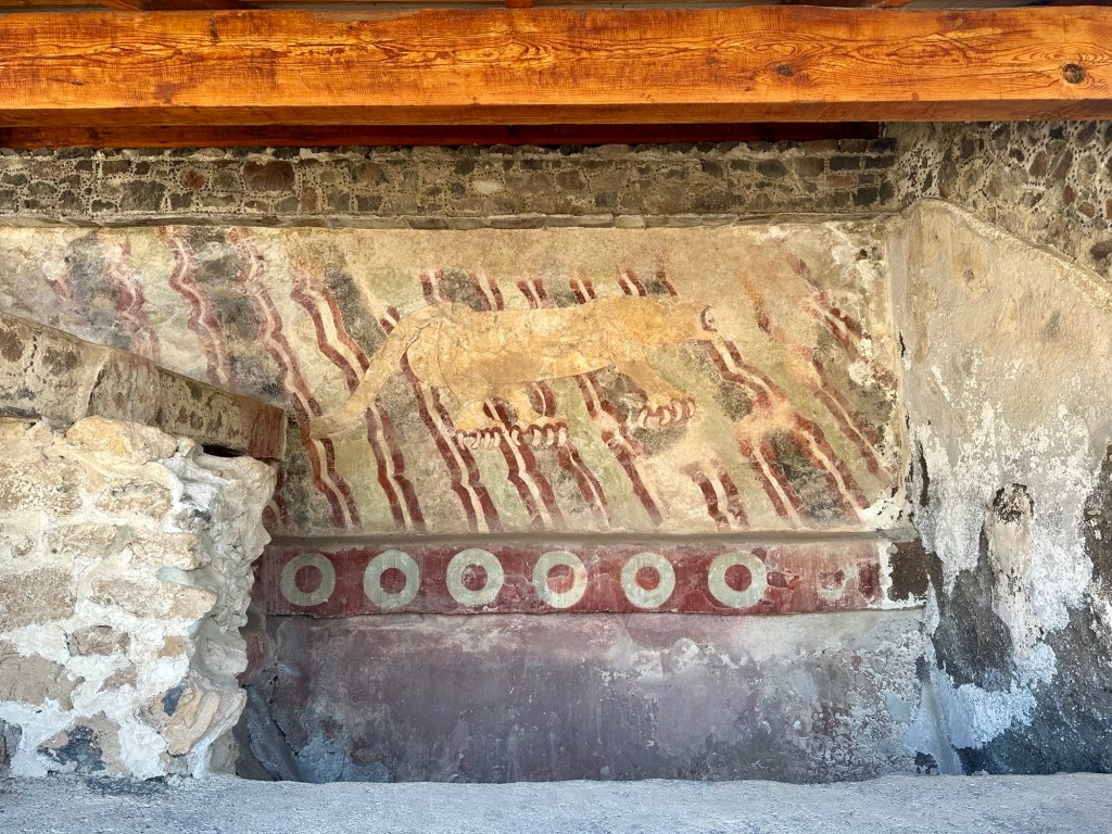
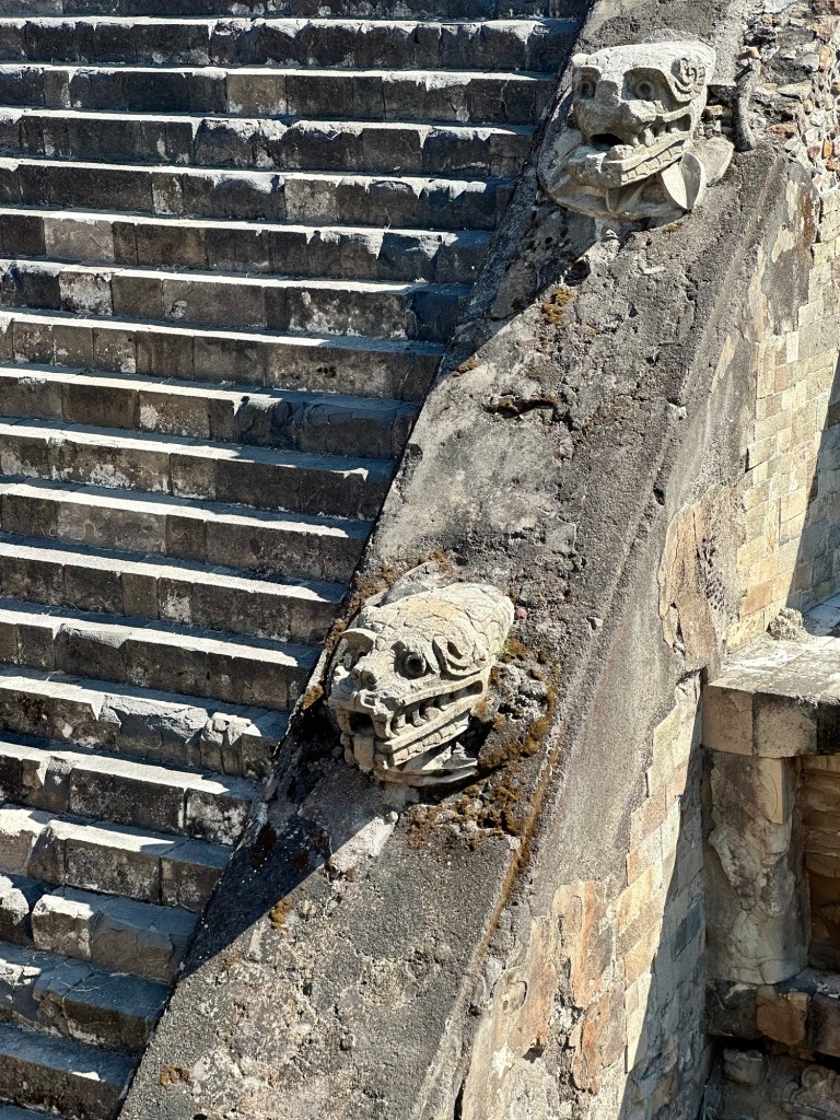
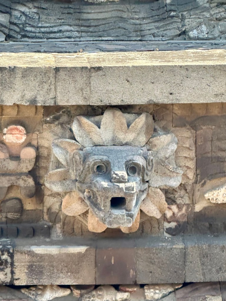
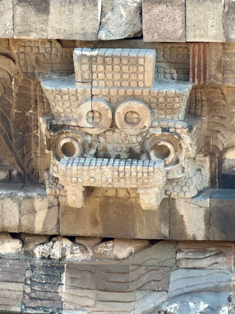
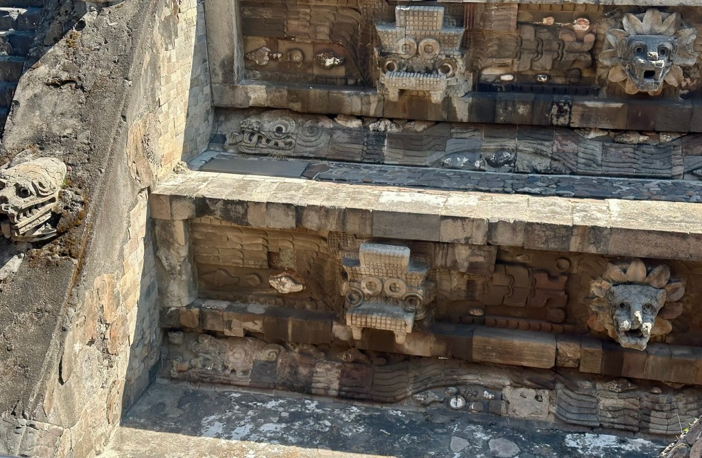
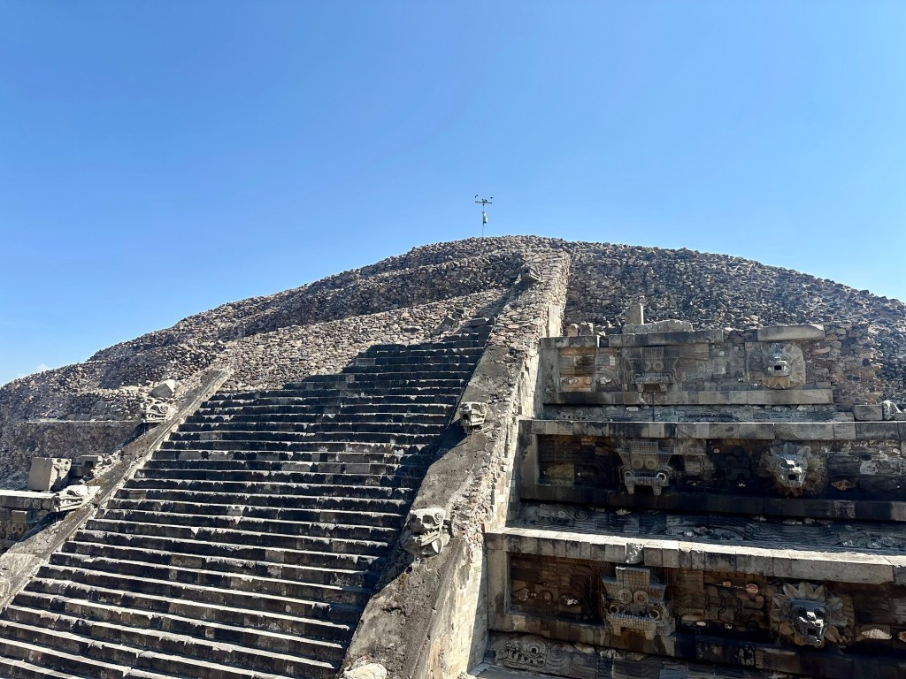
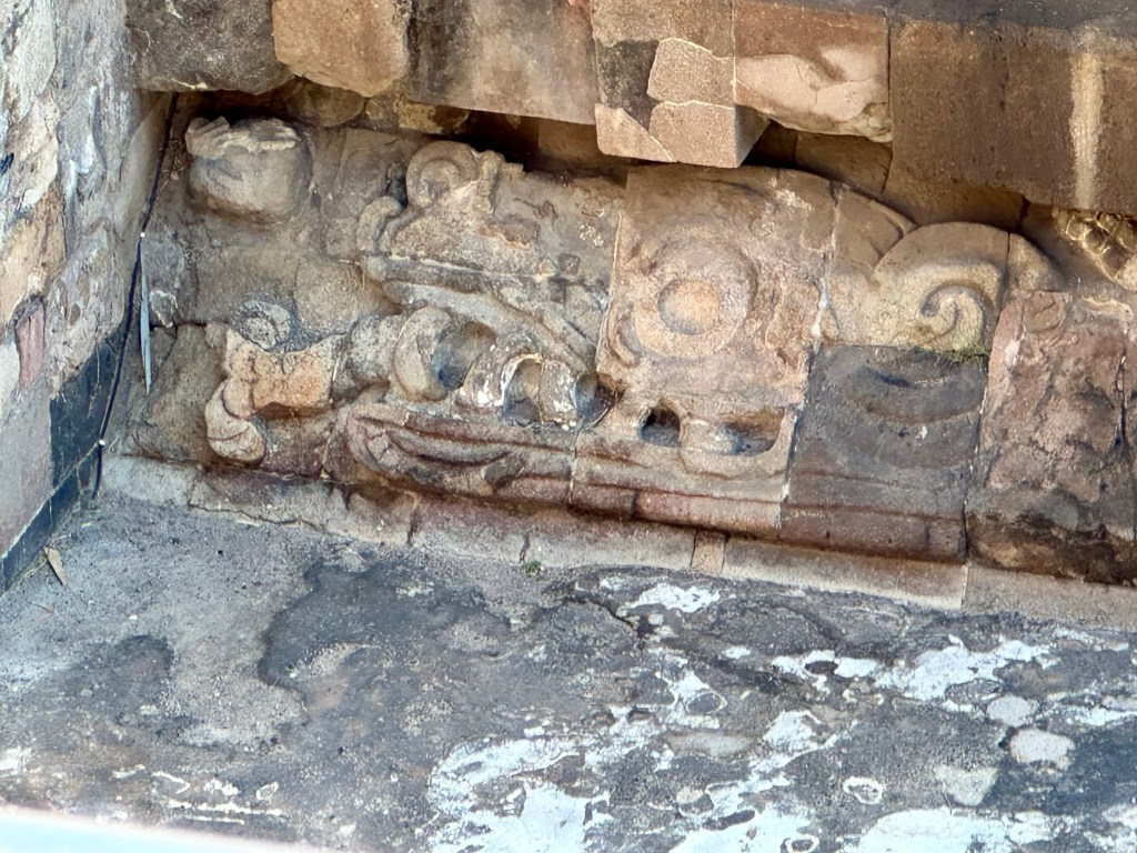
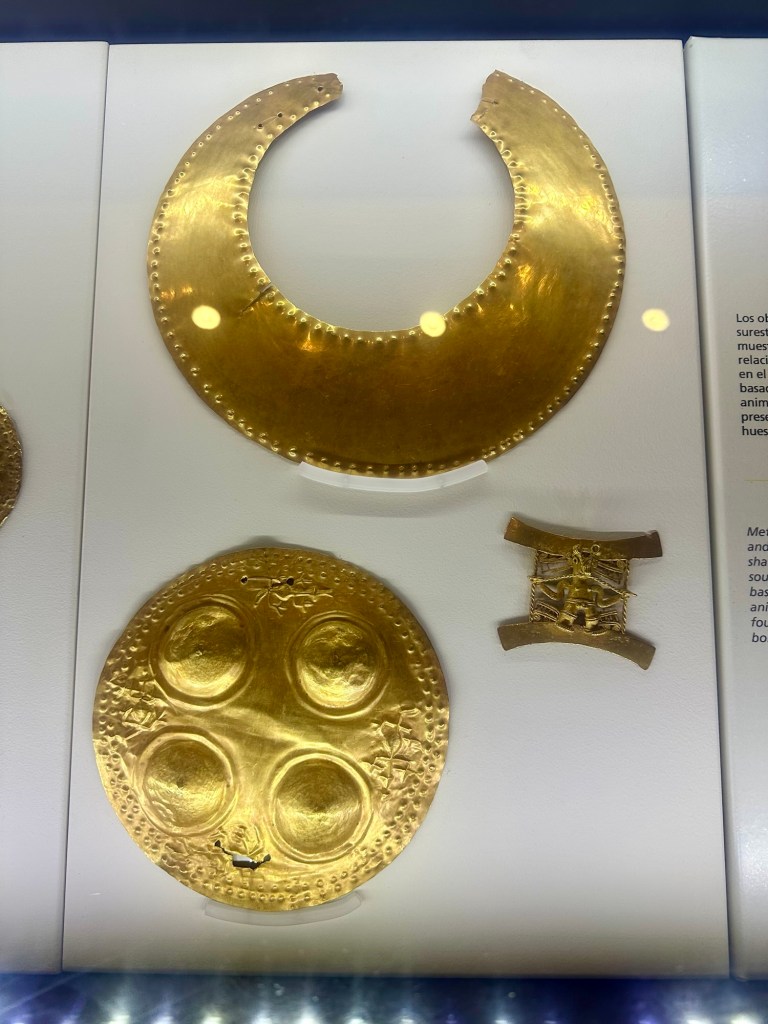
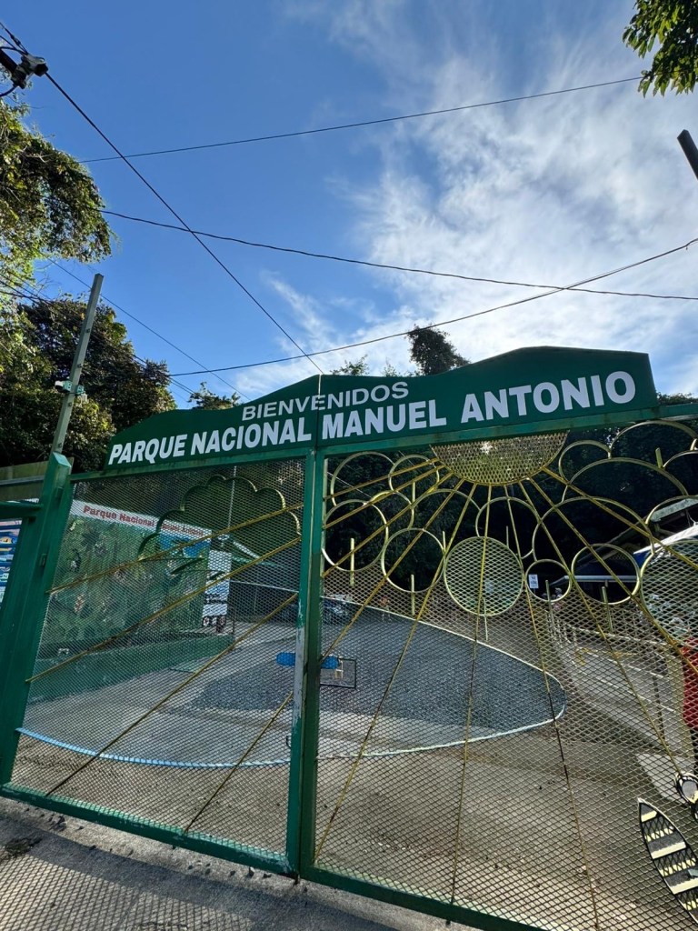
These ruins are now part of a National Park to protect them. This Mayan city was essentially a walled Mayan city on the coast and a major trading port in its day. It was basically abandoned when the Spanish arrived on this strip of coast from Cuba- although the ‘castle’ was the first built structure they saw when they arrived. Their prejudices about the indigenous people apparently led them to initially believe the structures must have been built by Viking types coming down the east coast of the Americas from around Greenland…
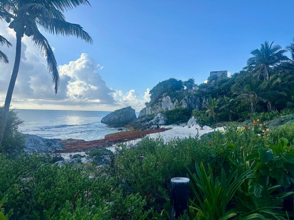
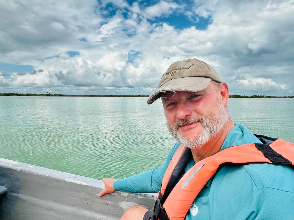
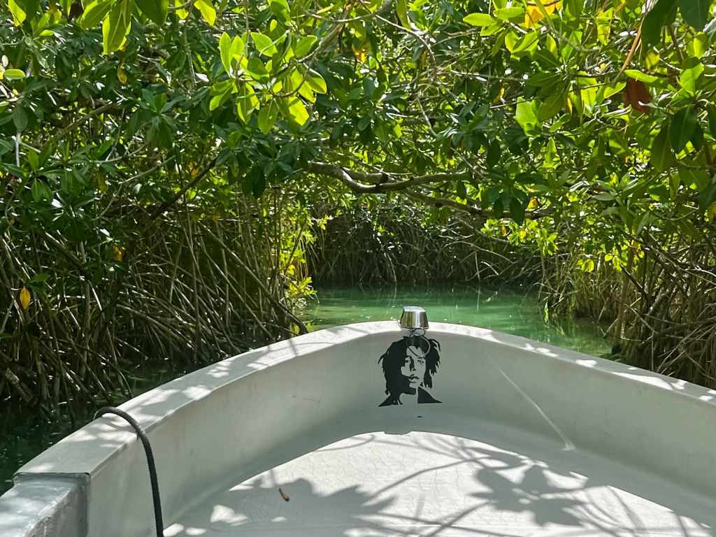
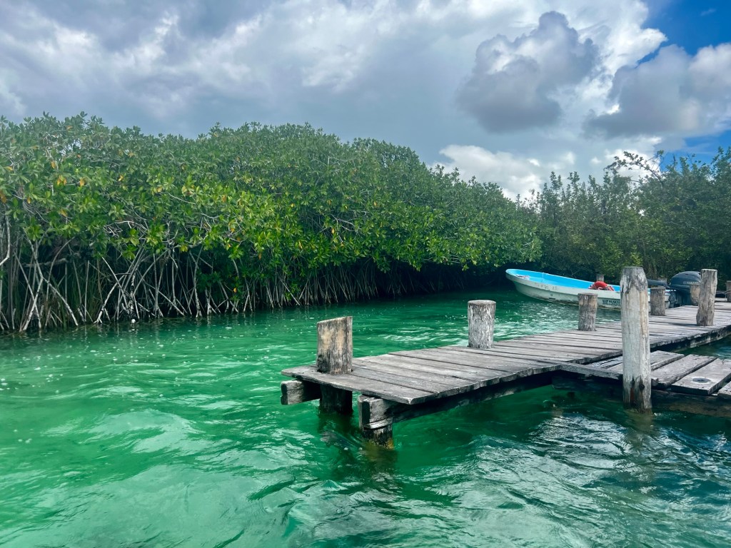
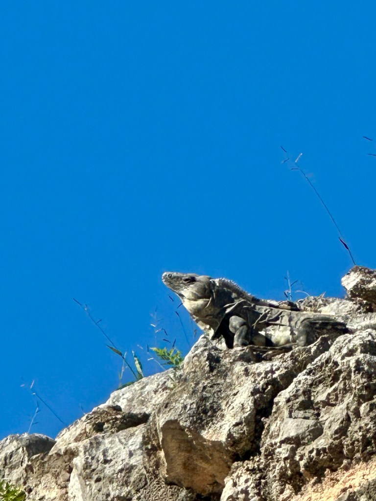
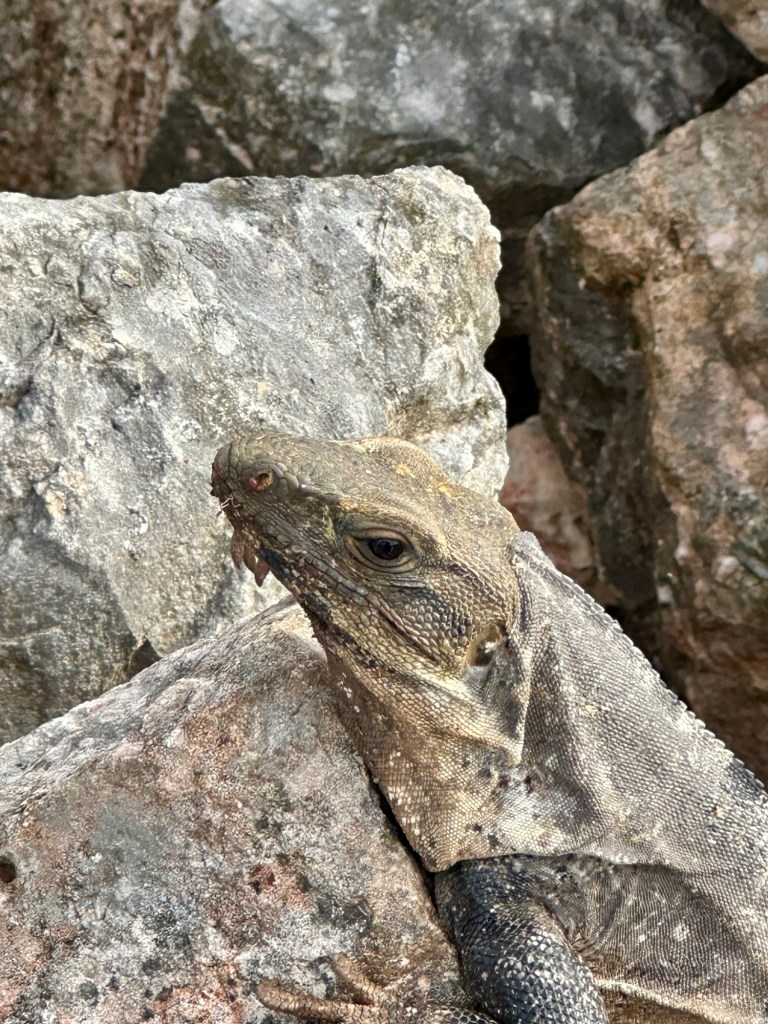
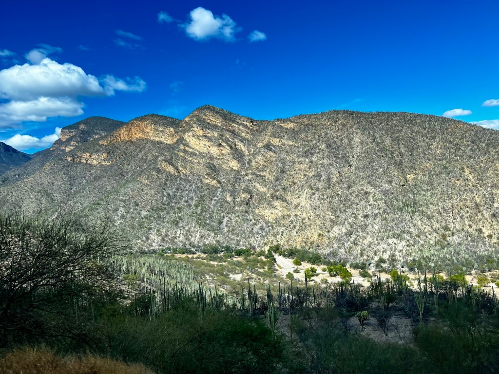
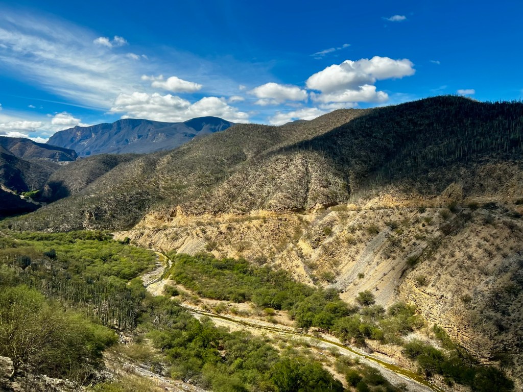
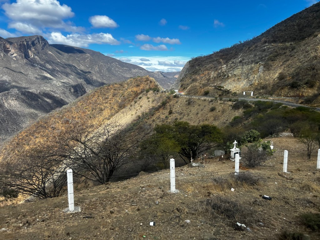
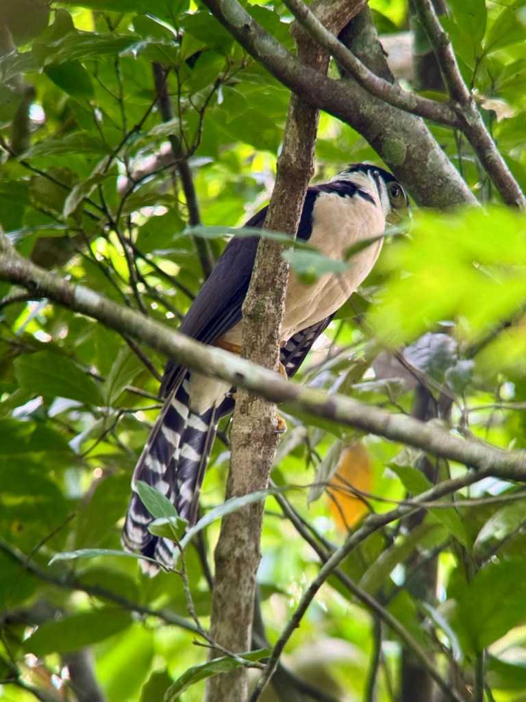
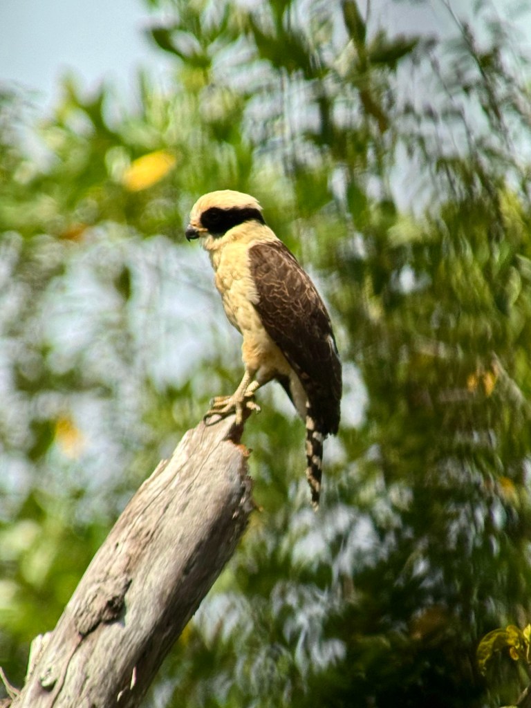
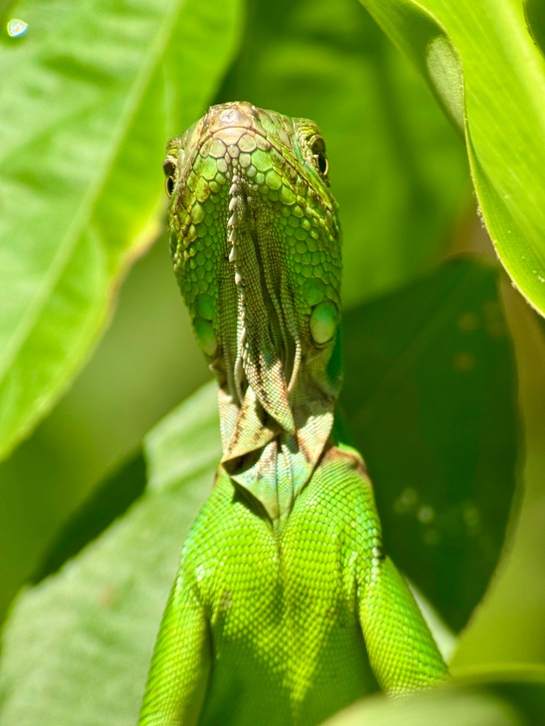
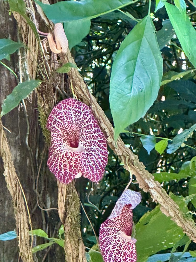
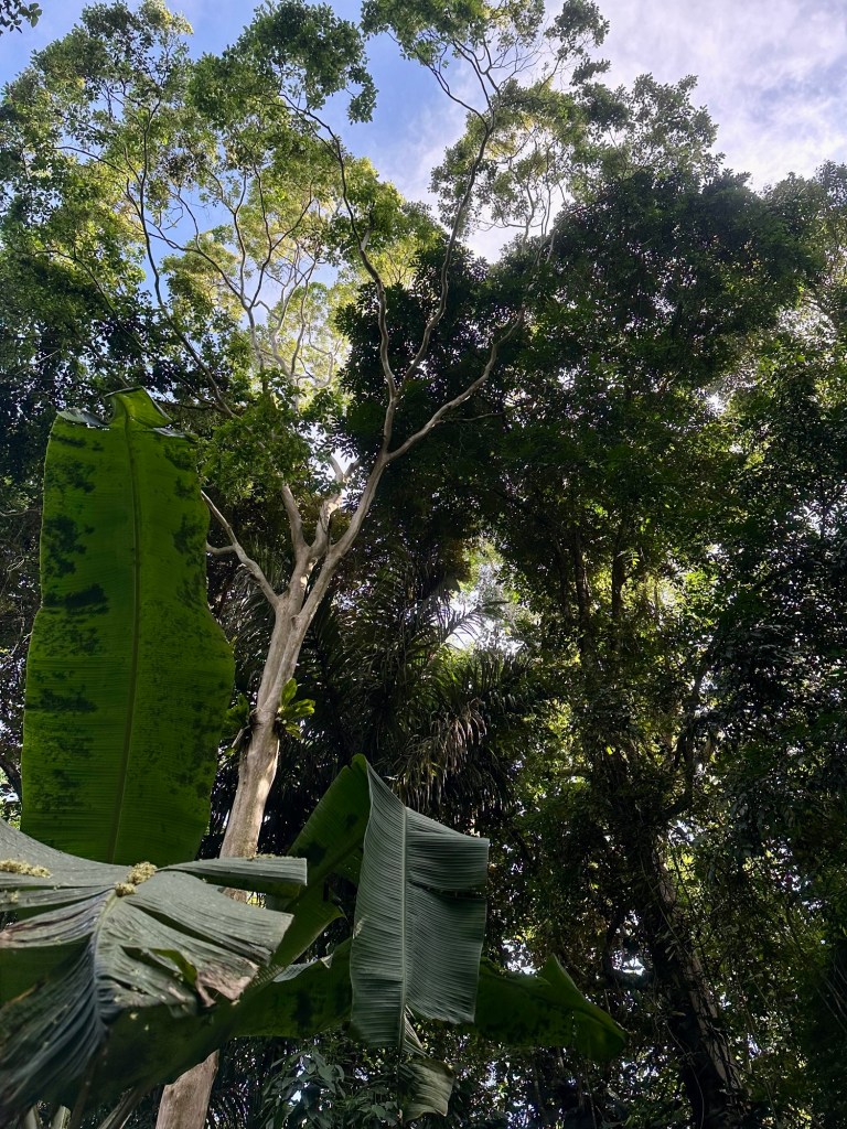
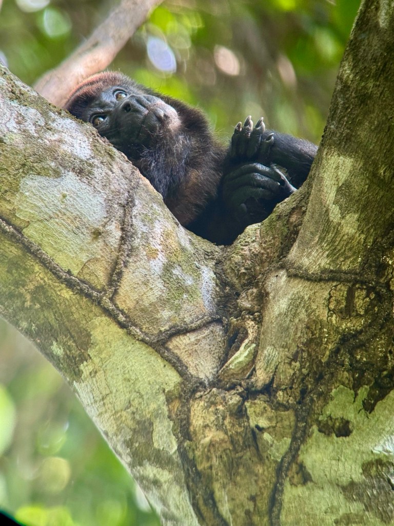
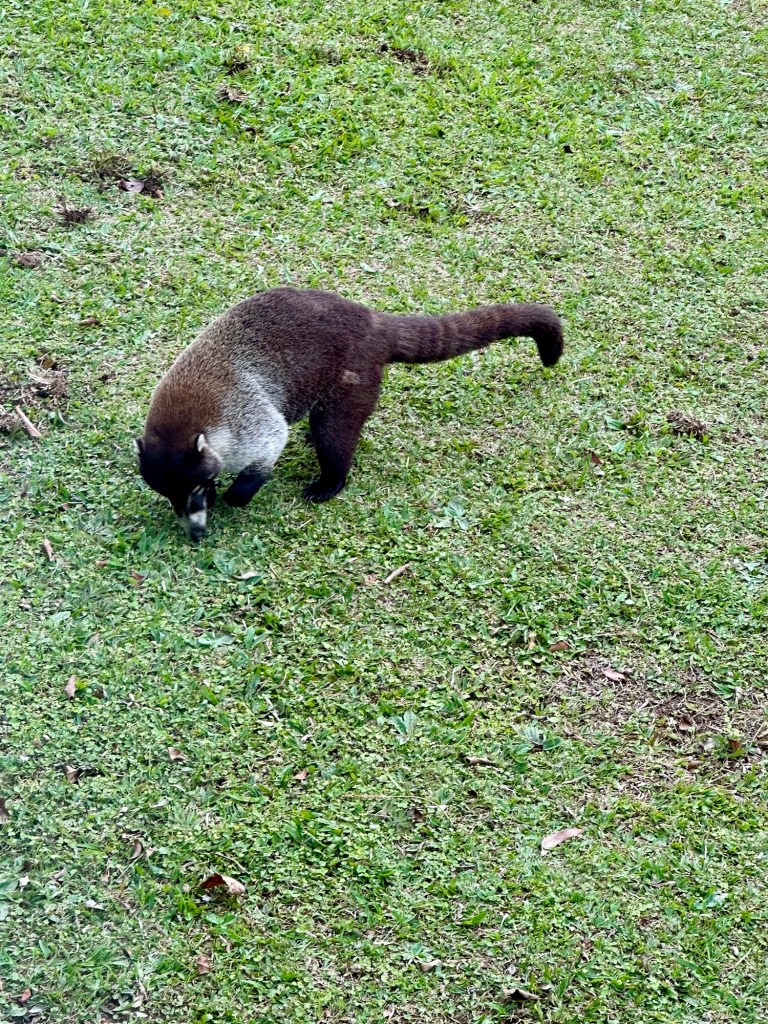
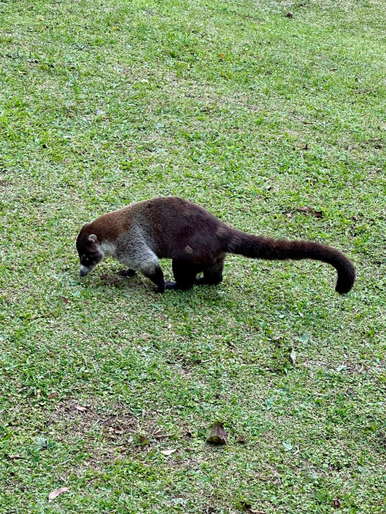
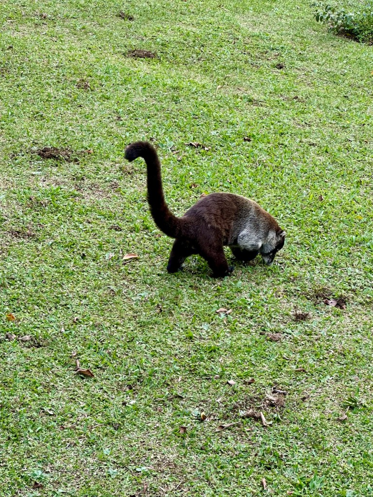
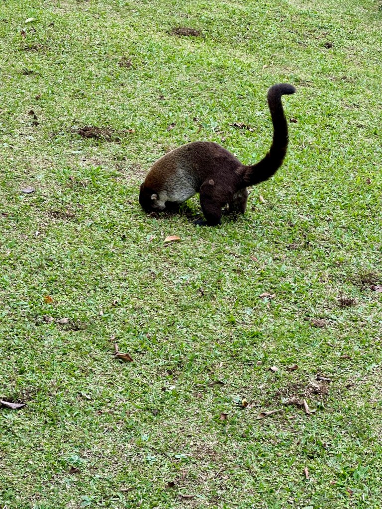
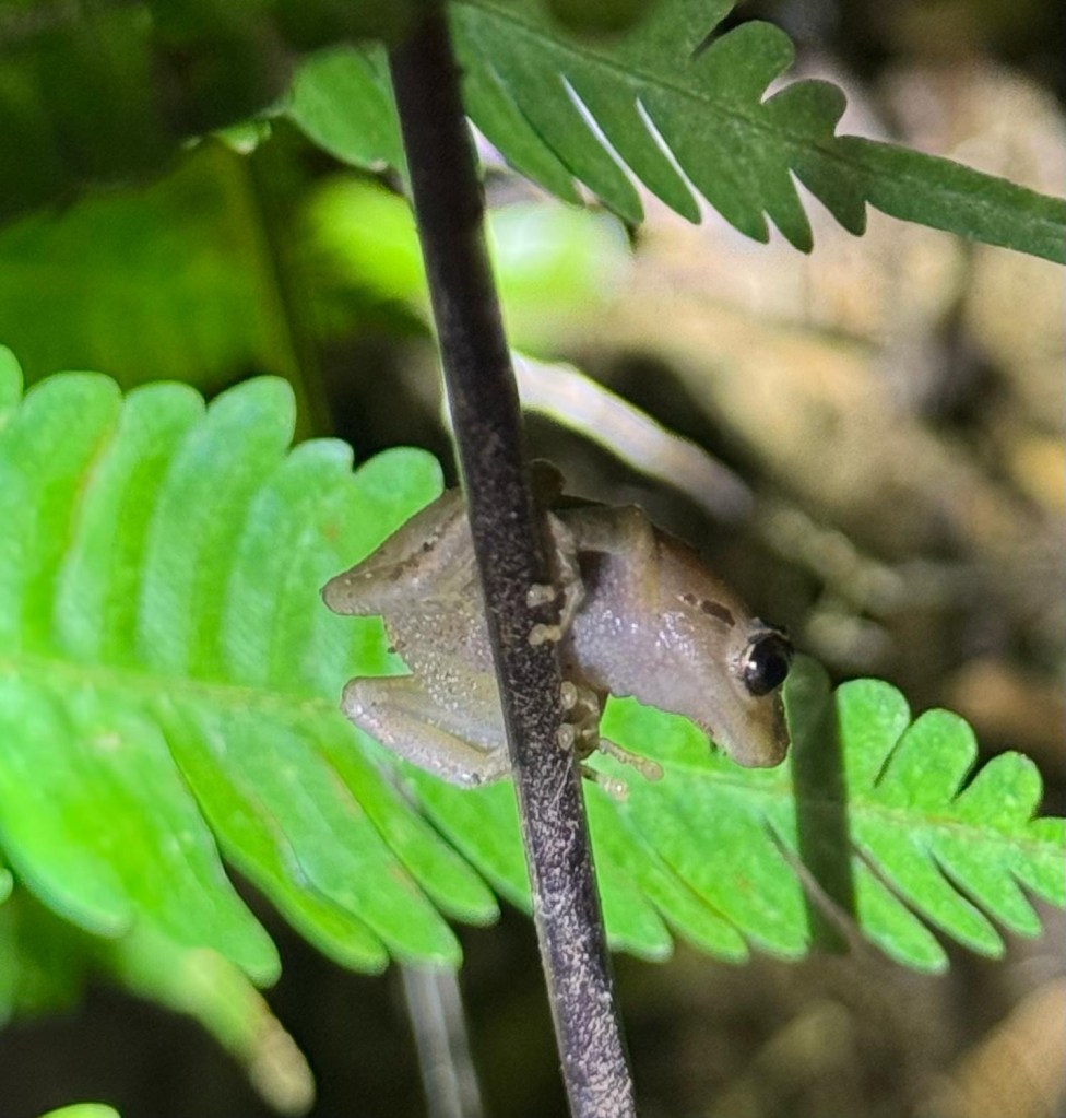
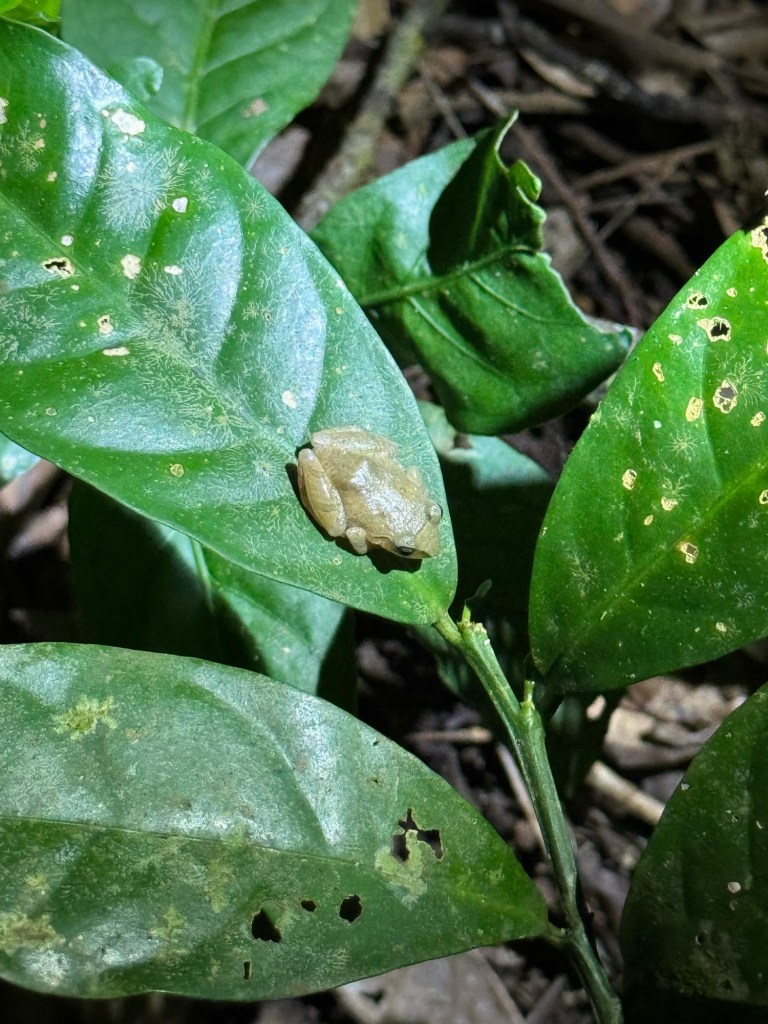
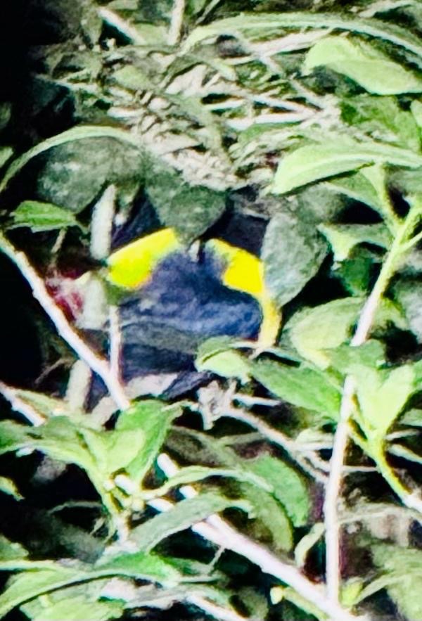
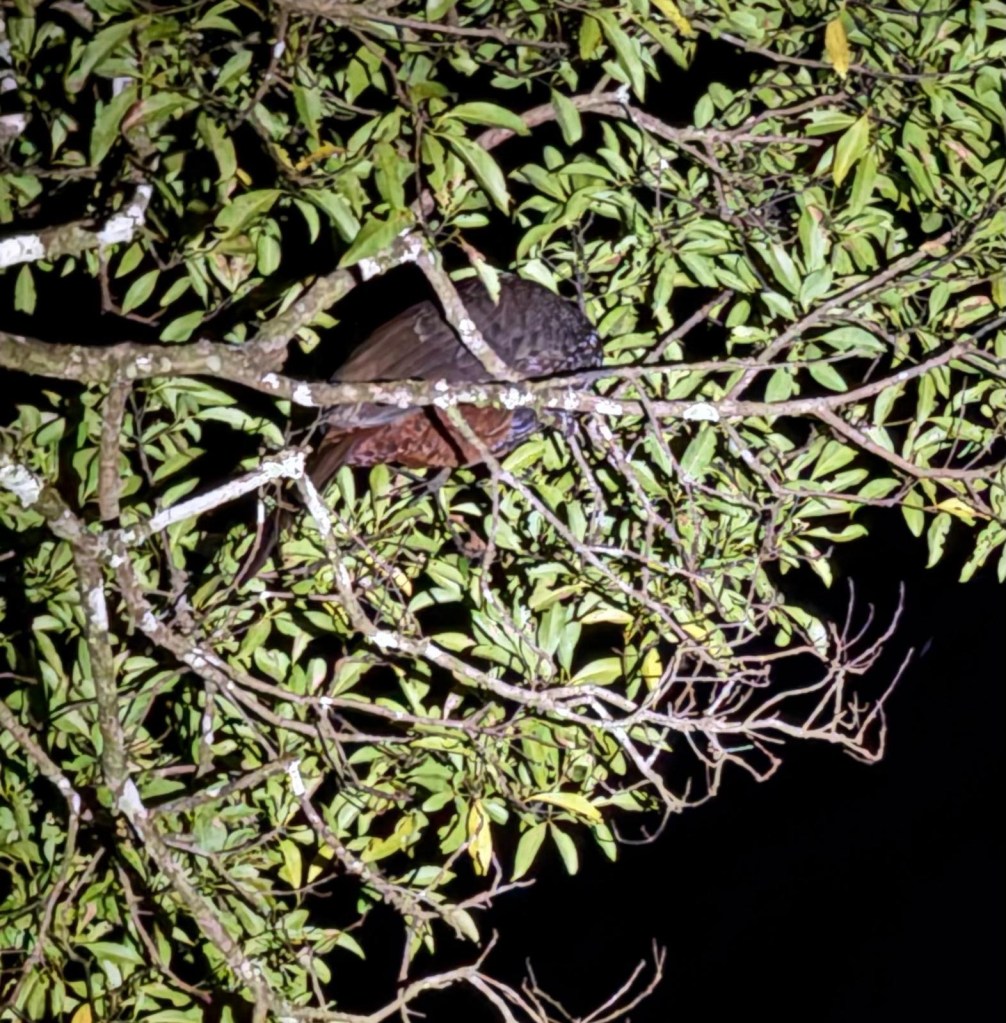
After the ruins we hopped back into the car for an approximately 60 minute drive to the South-South -West and into the Si’an Kaan Biosphere. This is a significant wilderness area, comprising several very large lagoons and estuaries and it is home to an amazing array of wetlands and associated species. Another interesting feature of the area is a bunch of canals the Mayan carved through the area to facilitate trade by linking the lagoons. During our visit we were to check out this beautiful environment and take part in unique activity. We got into the water to float with the current down one of these canals. The water was crystal clear and it was quite amazing to just gently float through the place for nearly an hour at consistent pace. It was a lovely experience. At the end we hopped out and got to trudge back along a boardwalk through the mangroves for about 1.5 km to meet our boat again.

Goodbye to Mexico – Tuesday 27th January
Tuesday morning saw us drive the two hours to Cancun for our flight to DFW and the start of our movement home. The drive to Cancun was smooth and fast … and that’s where the smoothness ended.
Cancun airport was heaving with frustrated humanity. The polar blast in the United States’ north, east and south over the weekend had blown apart airline scheduling. By Tuesday the system was at breaking point. Flights were cancelled left, right and centre and people were banking up… plus the backlog from the weekend.
The bottom line upfront was our flight from Cancun to Dallas was delayed and we were going to miss our connection back across the Pacific.
We won’t bore you with the intricate details, but through an series of extraordinary events, flight changes, incredible luck, gate disasters, other airport delays and the good graces of Fiji Airways ground staff in DFW, we made it onto our plane….Taking off 14 anxious hours after walking into the chaos at Cancun.
All the way across the Pacific we kept pinching ourselves, we couldn’t believe we had somehow made the flight…. The travel gods had eventually smiled on us late Tuesday night.
Wednesday the 28th didn’t really happen for us due to the International dateline – well, other than for the two hours on the taxiway at DFW as we waited for our Fiji Airways A350 aircraft to be de-iced (DFW was covered in snow and the outside temperature was below zero).
Fiji!
It was a stark contrast to landing into a balmy 30 degrees Celsius on and 85% relative humidity in Nadi on Thursday morning!
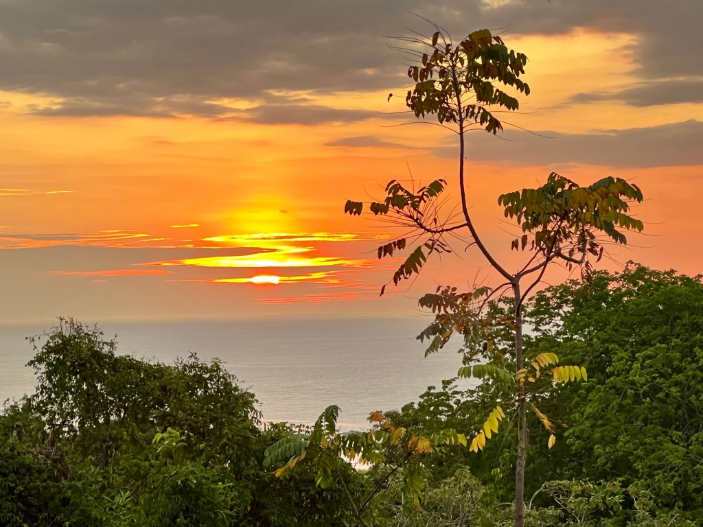
And that effectively concludes this wonderful trip, less a bit of ‘time zone adjustment’ by the pool here in Fiji.
We head home on a direct flight to Canberra on Saturday morning, 31 January.
😊🌴🍹


You must be logged in to post a comment.